Geneseo in Rice County, Kansas — The American Midwest (Upper Plains)
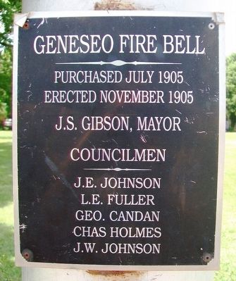
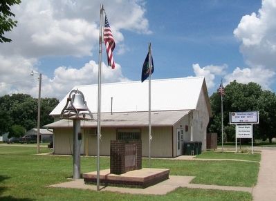
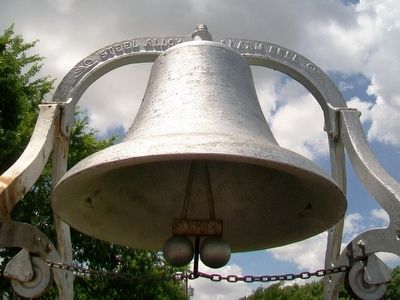
Geneseo Fire Bell
Erected November 1905
J.S. Gibson, Mayor
Councilmen
J.E. Johnson • L.E. Fuller
Geo. Candan • Chas Holmes
J.W. Johnson
Topics and series. This historical marker is listed in these topic lists: Charity & Public Work • Communications. In addition, it is included in the Historic Bells series list. A significant historical month for this entry is July 1905.
Location. 38° 31.022′ N, 98° 9.405′ W. Marker is in Geneseo, Kansas, in Rice County. Marker is on Main Street south of McCracken Avenue, on the right when traveling south. Touch for map. Marker is at or near this postal address: 601 Main Street, Geneseo KS 67444, United States of America. Touch for directions.
Other nearby markers. At least 8 other markers are within 14 miles of this marker, measured as the crow flies. War Memorial (here, next to this marker); Geneseo United Methodist Church Bell (about 700 feet away, measured in a direct line); Civil War and Veterans Memorial (approx. 12 miles away); Workman Park (approx. 12 miles away); Rice County Historical Mural (approx. 12 miles away); Santa Fe Trail (approx. 13.3 miles away); Cow Creek Station (approx. 13.4 miles away); Coronado and Quivira (approx. 13.4 miles away). Touch for a list and map of all markers in Geneseo.
Credits. This page was last revised on September 14, 2020. It was originally submitted on June 25, 2016, by William Fischer, Jr. of Scranton, Pennsylvania. This page has been viewed 283 times since then and 17 times this year. Photos: 1, 2, 3. submitted on June 25, 2016, by William Fischer, Jr. of Scranton, Pennsylvania.


