Blacksburg in Montgomery County, Virginia — The American South (Mid-Atlantic)
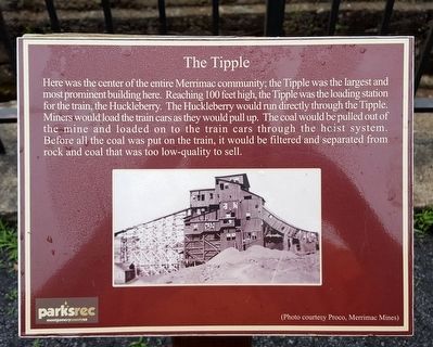
The Tipple
Erected by Parks & Recreation, Montgomery County, VA.
Topics. This historical marker is listed in these topic lists: Industry & Commerce • Railroads & Streetcars.
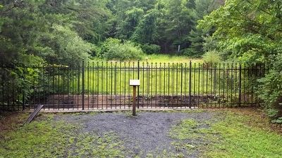
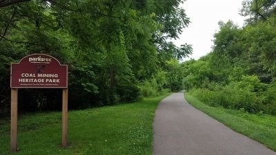
Location. 37° 11.203′ N, 80° 25.865′ W. Marker is in Blacksburg, Virginia, in Montgomery County. Marker can be reached from the intersection of Merrimac Road and Virginia Route 701, on the left when traveling north. Located on the Huckleberry Trail in the Coal Mining Heritage Park and Loop Trail. Touch for map. Marker is at or near this postal address: 751 Merrimac Rd, Blacksburg VA 24060, United States of America. Touch for directions.
Other nearby markers. At least 8 other markers are within 2 miles of this marker, measured as the crow flies. Coal Car (a few steps from this marker); Coal Car Hoist (a few steps from this marker); Hoist Foundation (a few steps from this marker); The Commissary (approx. 0.2 miles away); The Hotel (approx. 0.2 miles away); Virginia Polytechnic Institute and State University (approx. 1.7 miles away); Founding of the Future Farmers of Virginia (approx. 1.7 miles away); Smithfield (approx. 1.7 miles away). Touch for a list and map of all markers in Blacksburg.
Also see . . . Coal Mining Heritage Park and Loop Trail. (Submitted on June 26, 2016.)
Credits. This page was last revised on November 10, 2021. It was originally submitted on June 26, 2016, by Bernard Fisher of Richmond, Virginia. This page has been viewed 414 times since then and 14 times this year. Photos: 1, 2. submitted on June 26, 2016, by Bernard Fisher of Richmond, Virginia. 3. submitted on June 27, 2016, by Bernard Fisher of Richmond, Virginia.


