Near Soda Springs in Placer County, California — The American West (Pacific Coastal)
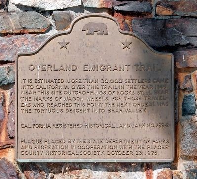
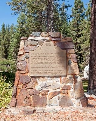
Overland Emigrant Trail
Erected 1976 by California Department of Parks and Recreation and Placer County Historical Society. (Marker Number 799-2.)
Topics and series. This historical marker is listed in this topic list: Settlements & Settlers. In addition, it is included in the California Historical Landmarks series list. A significant historical year for this entry is 1849.
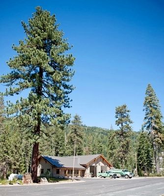
Location. 39° 18.366′ N, 120° 31.064′ W. Marker is near Soda Springs, California, in Placer County. Marker is on Hampshire Rocks Road, on the left when traveling east. Marker is located in front of the Big Bend Visitor Center. Touch for map. Marker is at or near this postal address: 49685 Hampshire Rocks Road, Soda Springs CA 95728, United States of America. Touch for directions.
Other nearby markers. At least 8 other markers are within 3 miles of this marker, measured as the crow flies. Stephens-Townsend-Murphy Party (here, next to this marker); Big Bend (within shouting distance of this marker); The Lincoln Highway (about 400 feet away, measured in a direct line); a different marker also named Lincoln Highway (approx. 0.4 miles away); Rainbow Lodge (approx. half a mile away); Forest Gift Shop, Cisco Grove (approx. 1.4 miles away); Susan's Spot (approx. 1.4 miles away); Truckee Trail - Ascent to Lake and Valley (approx. 2.7 miles away). Touch for a list and map of all markers in Soda Springs.
Credits. This page was last revised on June 29, 2016. It was originally submitted on June 29, 2016, by Alvis Hendley of San Francisco, California. This page has been viewed 318 times since then and 22 times this year. Photos: 1, 2, 3. submitted on June 29, 2016, by Alvis Hendley of San Francisco, California. • Syd Whittle was the editor who published this page.


