Near Soda Springs in Placer County, California — The American West (Pacific Coastal)
Rainbow Lodge
History
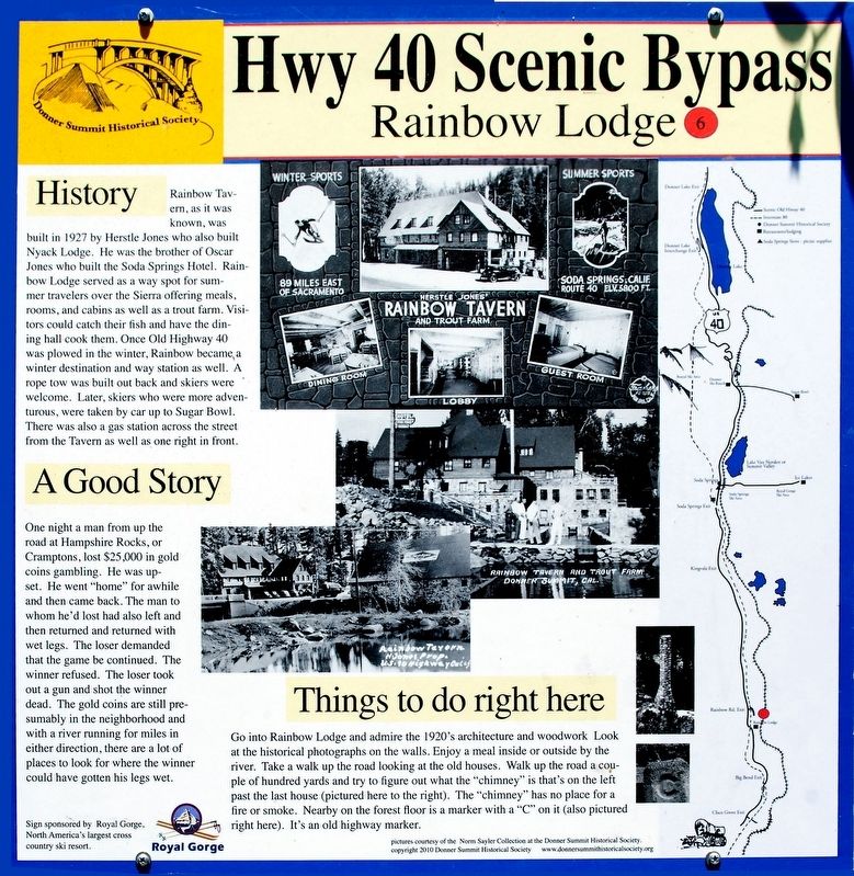
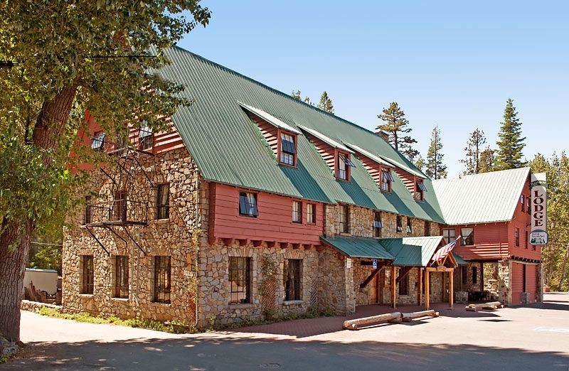
Rainbow Tavern, as it was known, was built in 1927 by Herstle Jones who also built Nyack Lodge. He was the brother of Oscar Jones who built the Soda Springs Hotel. Rainbow Lodge served as a way spot for summer travelers over the Sierra offering meals, rooms, and cabins as well as a trout farm. Visitors could catch their fish and have the dining hall cook them. Once Old Highway 40 was plowed in the winter, Rainbow became a winter destination and way station as well. A rope tow was built out back and skiers were welcome. Later, skiers who were more adventurous, were taken up to Sugar Bowl. There was also a gas station across the street from the Tavern as well as one right in front.
A Good Story
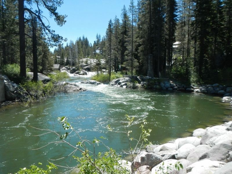
One night a man from up the road at Hampshire Rocks, or Cramptons, lost $25,000 in gold coins gambling. He was upset. He went "home" for awhile and then came back. The man to whom he'd lost had also left and then returned with wet legs. The loser demanded that the game be continued. The winner refused. The loser took out a gun and shot the winner dead. The gold coins are presumably in the neighborhood and with a river running for miles in either direction, there are a lot of places to look for where the winner could have gotten his legs wet.
Things to do right here
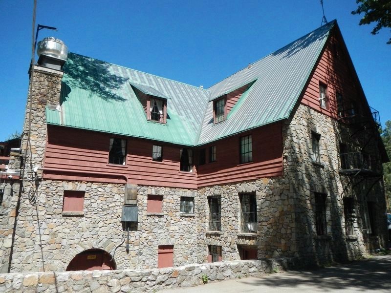
Go into Rainbow Lodge and admire the 1920's architecture and woodwork. Look at the historical photographs on the walls. Enjoy a meal inside or outside by the river. Take a walk up the road looking at the old houses. Walk up the road a couple of hundred yards and try to figure out what the "chimney" is that's on the left past the last house (pictured here to the right). The "chimney" has no place for fire or smoke. Nearby on the forest floor is a marker with a "C" on it (also pictured fight here). It's an old highway marker.
Erected 2010 by Donner Summit Historical Society and Royal Gorge Cross Country Ski Resort. (Marker Number 6.)
Topics and series. This historical marker is listed in these topic lists: Architecture • Roads & Vehicles. In addition, it is included in the Donner Summit Historical Society series list. A significant historical year for this entry is 1927.
Location. 39° 18.598′ N, 120° 30.536′ W. Marker is near Soda Springs, California, in Placer County. Marker is at the intersection of Hampshire Rocks Road and Rainbow Road, on the right when traveling east on Hampshire Rocks Road. Touch for map. Marker is at or near this postal address: 50080 Hampshire Rocks Road, Soda Springs CA 95728, United States of America. Touch for directions.
Other nearby markers. At least 8 other markers are within 3 miles of this marker, measured as the crow flies. The Lincoln Highway (approx. half a mile away); Big Bend (approx. half a mile away); Overland Emigrant Trail (approx. half a mile away); Stephens-Townsend-Murphy Party (approx. half a mile away); a different marker also named Lincoln Highway (approx. 0.9 miles away); Forest Gift Shop, Cisco Grove (approx. 1.8 miles away); Susan's Spot (approx. 1.8 miles away); Red Mountain (approx. 3 miles away). Touch for a list and map of all markers in Soda Springs.
Credits. This page was last revised on July 7, 2017. It was originally submitted on July 1, 2016, by Alvis Hendley of San Francisco, California. This page has been viewed 580 times since then and 41 times this year. Photos: 1, 2. submitted on July 1, 2016, by Alvis Hendley of San Francisco, California. 3, 4. submitted on July 7, 2017, by Barry Swackhamer of Brentwood, California. • Syd Whittle was the editor who published this page.
Editor’s want-list for this marker. Wide area view of the marker and its surroundings. • Can you help?


