Big Bend National Park in Brewster County, Texas — The American South (West South Central)
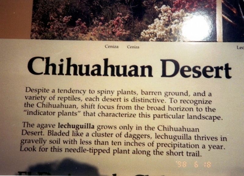
Chihuahuan Desert
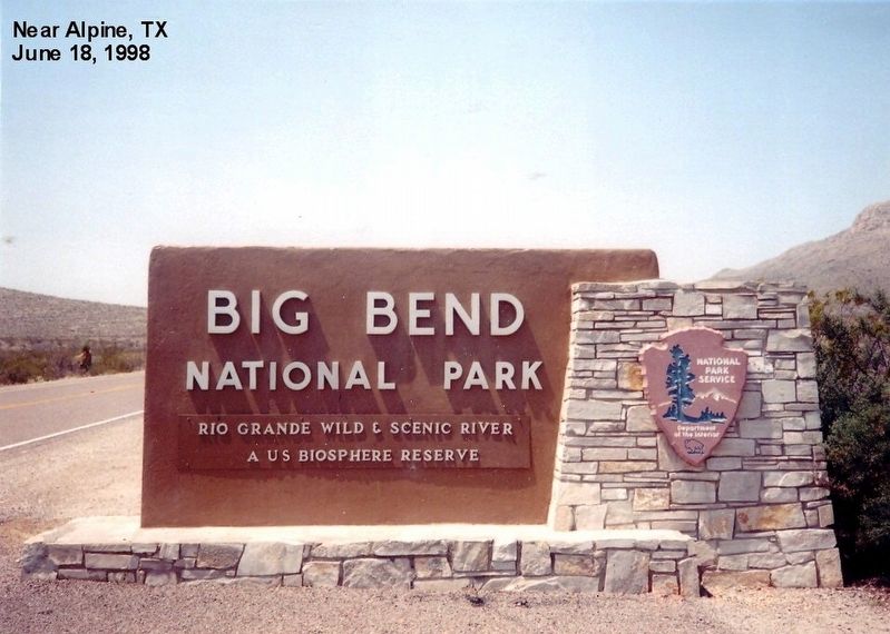
Big Bend National Park
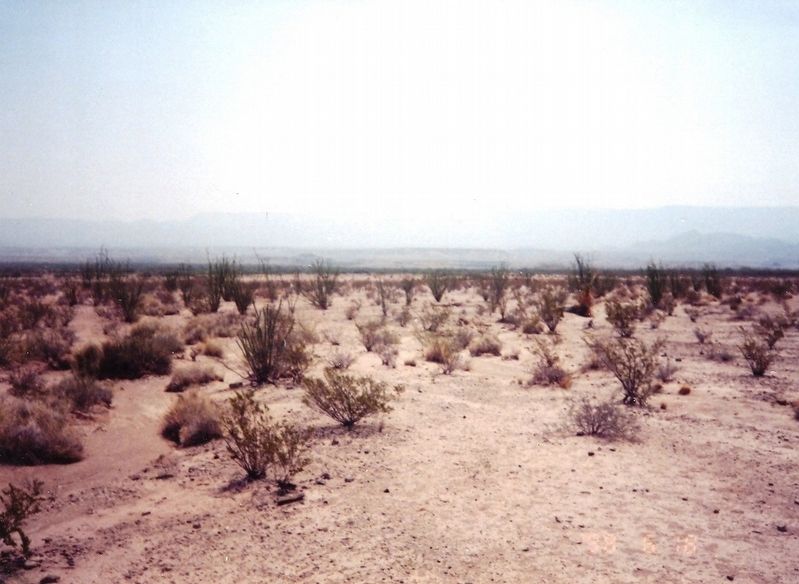
Despite a tendency to spiny plants, barren ground, and a variety of reptiles, each desert is distinctive. To recognize the Chihuahuan, shift focus from the broad horizon to the “indicator plants” that characterize this particular landscape.
The agave lechuguilla grows only in the Chihuahuan Desert. Bladed like a cluster of daggers, lechuguilla thrives in gravelly soil with less than ten inches of precipitation a year. Look for this needle-tipped plant along the short trail.
Erected by National Park Service, U.S. Department of the Interior.
Topics. This historical marker is listed in this topic list: Horticulture & Forestry.
Location. 29° 10.93′ N, 102° 57.665′ W. Marker is in Big Bend National Park, Texas, in Brewster County. Marker is on Park Route 12. Touch for map. Marker is in this post office area: Big Bend National Park TX 79834, United States of America. Touch for directions.
Other nearby markers. At least 8 other markers are within 3 miles of this marker, measured as the crow flies. River and Springs (approx. ¼ mile away); Cool Mountains (approx. ¼ mile away); Healing Waters (approx. 2.1 miles away); Reminders of the Past (approx. 2.2 miles away); Rock Art at Hot Springs (approx. 2.3 miles away); If You Build It... (approx. 2.3 miles away); Community (approx. 2.3 miles away); Hot Springs Historic District (approx. 2.3 miles away). Touch for a list and map of all markers in Big Bend National Park.
Credits. This page was last revised on June 12, 2020. It was originally submitted on July 5, 2016, by Don Morfe of Baltimore, Maryland. This page has been viewed 403 times since then and 13 times this year. Photos: 1, 2, 3, 4, 5, 6. submitted on July 5, 2016, by Don Morfe of Baltimore, Maryland. • Bernard Fisher was the editor who published this page.
