Midwest in Natrona County, Wyoming — The American West (Mountains)
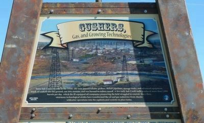
Gushers,
Gas and Growing Technologies
Photographed by Barry Swackhamer, June 5, 2016
1. Gushers, Marker, top panel
Caption: Midwest Oil Fields.
(middle panel:)
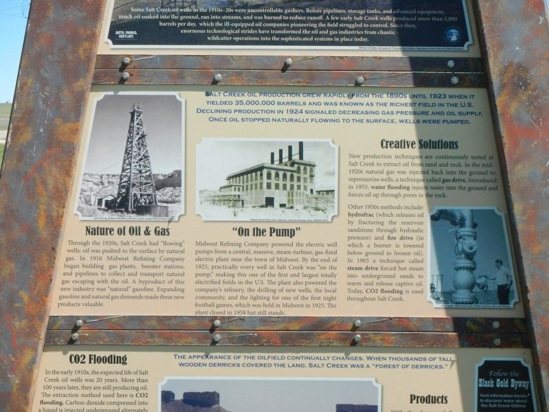
Nature of Oil & Gas
Through the 1920s, Salt Creek had “flowing” wells: oil was pushed to the surface by natural gas. In 1916 Midwest Refining Company began building gas plants, booster stations, and pipelines to collect and transport natural gas escaping
this page online
Midwest Refining Company powered the electric well pumps from a central, massive, steam-turbine, gas-fired electric plant near the town of Midwest. By the end of 1925, practically every well in Salt Creek was “on the pump,” making this one of the first and largest totally electrified fields in the U.S. The plant also powered the company’s refinery, the drilling of new wells, the local community, and the lighting for one of the first night football games, which was held in Midwest in 1925. The plant closed in 1958 but still stands.
New production techniques are continuously tested at Salt Creek to extract oil from sand and rock. In the mid-1920s natural gas was injected back into the ground to repressurize wells, a technique called gas drive. Introduced in 1955, water flooding injects water into the ground and forces oil up through pores in the rock. Other 1950s methods include: hydofrac (which releases oil by fracturing
Photographed by Barry Swackhamer, June 5, 2016
2. Gushers, Marker, middle panel
Captions: (top left) Salt Creek rig; (center) Midwest Power Plant; (bottom right) Water supply wellhead, Salt Creek.
(bottom panel:)
CO2 Flooding
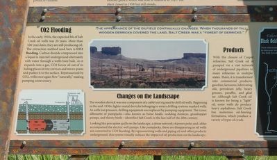
In the early 1910s, the expected life of Salt Creek oil wells was 20 years. More than 100 years later, they are still producing oil. The extraction method used here is CO2 flooding. Carbon dioxide compressed into a liquid is injected underground alternately with water through a well’s bore hole. As it expands into a gas, CO2 forces oil out of its hiding places in tiny crevices and micro-pores and pushes it to the surface. Repressurized by CO2, wells once again flow “naturally,” making pumping unnecessary.
The wooden derrick was one component of a cable tool rig used to drill oil wells. Beginning in the mid-1930s,
Photographed by Barry Swackhamer, June 5, 2016
3. Gushers, Marker, bottom panel.
Captions: (bottom left) CO2 Flooding Diagram, Kansas Geological Survey.; (center) Pumpjacks in Salt Creek; (left) Map of the Black Gold Byway kiosks.
Looking like porcupine quills on the landscape, a dense network of power poles and cables accompanied the electric well pumps. Like pumpjacks, these are disappearing as oil wells are converted to CO2 flooding. By repressurizing wells and piping oil and other products underground, this system visually reduces the impact of oil production on the landscape.
With the closure of Casper refineries, Salt Creek oil is pumped via a vast network of underground pipelines to many refineries in multiple states. There, it is transformed into commercial products: gasoline, kerosene, lubricating oils, petroleum jelly, heavy greases, paraffin, and coal tar. Although Salt Creek oil is known for being a “light” oil, some wells do produce heavy asphaltines. Salt Creek has numerous oil-bearing
Photographed by Barry Swackhamer, June 5, 2016
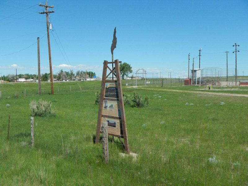
4. Gushers, Marker
Erected by Wyoming State Parks and Cultural Resources.
Topics. This historical marker is listed in these topic lists: Industry & Commerce • Natural Resources.
Location. 43° 24.594′ N, 106° 16.128′ W. Marker is in Midwest, Wyoming, in Natrona County. It is on State Highway 387 near State Highway 259, on the left when traveling east. Touch for map. Marker is in this post office area: Midwest WY 82643, United States of America. Touch for directions.

Regionally, this marker is in the Westward Expansion Trails Region and in Greater Casper. It is also in the American Mountain West. Globally, it is in North America, the Rocky Mountains, the Western Hemisphere, the Western World, and the Anglosphere.
Other nearby markers. At least 8 other markers are within 2 miles of this marker, measured as the crow flies: Salt Creek Oil Field (about 300 feet away, measured in a direct line); a different marker also named Salt Creek Oil Field (about 300 feet away); Oil Boomtowns (about 300 feet away); Oil Boom Towns (approx. half a mile away); a different marker also named Salt Creek Oil Field (approx. half a mile away); Society in an Oil Patch (approx. half a mile away); Midwest Veterans Memorial (approx. half a mile away); Geology (approx. 1.2 miles away). Touch for a list and map of all markers in Midwest.
More about this marker. This marker is a part of the Black Gold Byway series.
Credits. This page was last revised on July 5, 2016. It was originally submitted on July 5, 2016, by Barry Swackhamer of Brentwood, California. This page has been viewed 592 times since then and 38 times this year. Photos: 1, 2, 3, 4. submitted on July 5, 2016, by Barry Swackhamer of Brentwood, California.
