Near Flintstone in Allegany County, Maryland — The American Northeast (Mid-Atlantic)
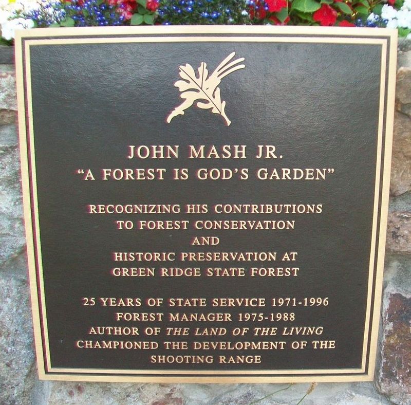
John Mash Jr.
"A Forest is God's Garden"
Photographed by William Fischer, Jr., July 8, 2016
1. John Mash Jr. Marker
to forest conservation and
historic preservation at
Green Ridge State Forest
25 years of state service 1971-1996
Forest Manager 1975-1988
Author of The Land of the Living
Championed the development of the
shooting range
Topics. This historical marker is listed in this topic list: Horticulture & Forestry.
Location. 39° 39.925′ N, 78° 26.522′ W. Marker is near Flintstone, Maryland, in Allegany County. It is on Headquarters Drive 0.2 miles west of M. V. Smith Road NE, on the left when traveling west. Marker is at the entrance to the Green Ridge State Forest Headquarters and Visitor Center, located near the scenic overlook southwest of I-68 Exit 64. Touch for map. Marker is at or near this postal address: 28700 Headquarters Drive NE, Flintstone MD 21530, United States of America. Touch for directions.

Regionally, this marker is in Western Maryland. It is also in the American Mid-Atlantic, in Appalachia, and specifically in Northern Appalachia. Globally, it is in North America, the Western Hemisphere, the Western World, and the
this page online
Other nearby markers. At least 8 other markers are within 7 miles of this marker, measured as the crow flies: Pine Lick Trail (within shouting distance of this marker); Log Roll Trail (within shouting distance of this marker); Twin Oaks Trail (within shouting distance of this marker); Long Pond Trail (within shouting distance of this marker); Perry Barnes Game Refuge (approx. 1.9 miles away); Billmeyer Game Refuge (approx. 1.9 miles away); a different marker also named Town Hill Overlook (approx. 3.1 miles away); “The Warrior’s Path” (approx. 7 miles away). Touch for a list and map of all markers in Flintstone.
Other markers no longer nearby. McCausland's Raid (was approx. 1.4 miles away but has been confirmed missing); Town Hill Overlook (was approx. 3.1 miles away but has been replaced with another marker now near it).
Also see . . . The Land of the Living. (Submitted on July 17, 2016, by William Fischer, Jr. of Reynoldsburg, Ohio.)
Photographed by William Fischer, Jr., July 8, 2016
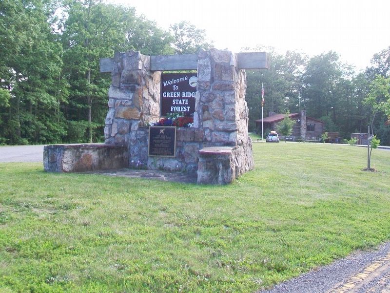
2. John Mash Jr. Marker on Welcome Sign
Photographed by William Fischer, Jr., July 8, 2016
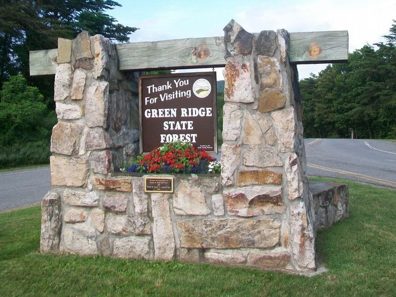
3. West Side of Welcome Sign
Credits. This page was last revised on August 5, 2021. It was originally submitted on July 17, 2016, by William Fischer, Jr. of Reynoldsburg, Ohio. This page has been viewed 860 times since then and 40 times this year. Photos: 1, 2, 3. submitted on July 17, 2016, by William Fischer, Jr. of Reynoldsburg, Ohio.
