Edgemere in Baltimore County, Maryland — The American Northeast (Mid-Atlantic)
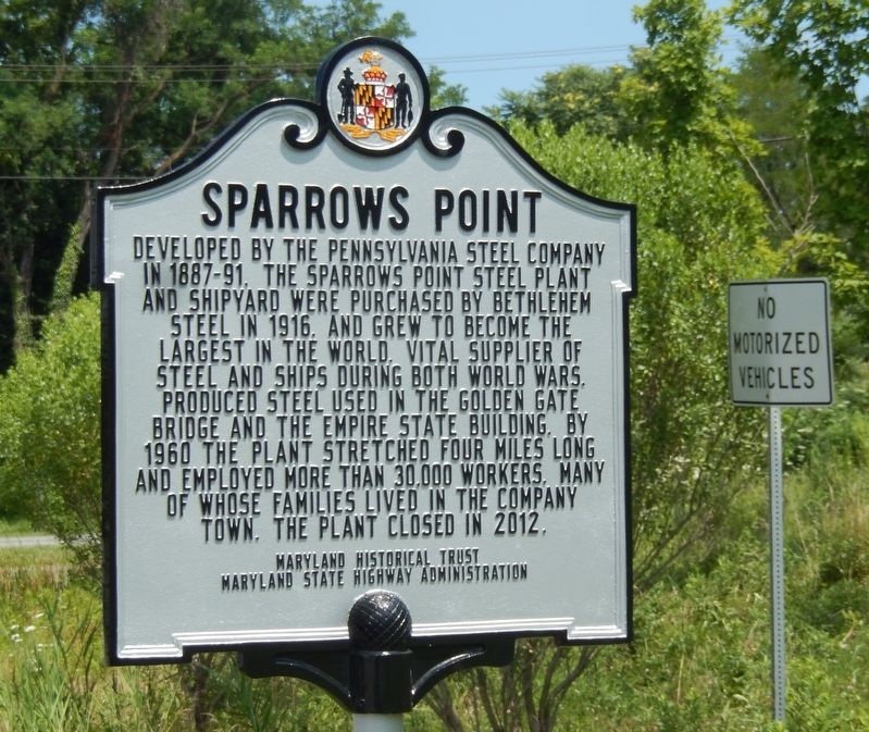
Sparrows Point
Erected by Maryland Historical Trust-Maryland State Highway Administration. (Marker Number RM-1223.)
Topics and series. This historical marker is listed in these topic lists: Industry & Commerce • War, World I • War, World II. In addition, it is included in the Maryland Historical Trust series list. A significant historical year for this entry is 1916.
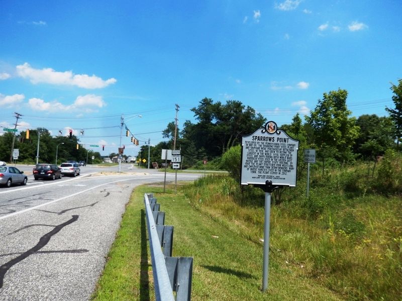
Location. 39° 14.583′ N, 76° 27.348′ W. Marker is in Edgemere, Maryland, in Baltimore County. Marker is at the intersection of Maryland Route 158 and North Point Blvd (MD151) on State Route 158. Touch for map. Marker is in this post office area: Sparrows Point MD 21219, United States of America. Touch for directions.
Other nearby markers. At least 8 other markers are within 3 miles of this marker, measured as the crow flies. Dedicated to All Men and Women (about 500 feet away, measured in a direct line); General Robert Ross (approx. 0.6 miles away); North Point (approx. 0.8 miles away); Shaw Family Cemetery (approx. 1.6 miles away); Unexpected Resistance (approx. 2 miles away); War in the Chesapeake (approx. 2 miles away); North Point Battlefield (approx. 2.2 miles away); Aquila Randall Monument (approx. 2.2 miles away). Touch for a list and map of all markers in Edgemere.
Credits. This page was last revised on July 21, 2016. It was originally submitted on July 19, 2016, by Don Morfe of Baltimore, Maryland. This page has been viewed 471 times since then and 29 times this year. Photos: 1, 2. submitted on July 19, 2016, by Don Morfe of Baltimore, Maryland. • Bill Pfingsten was the editor who published this page.

