Robert Lee in Coke County, Texas — The American South (West South Central)
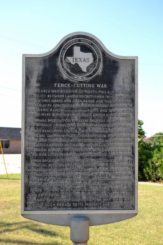
Fence-Cutting War
This area was a center of hostilities during 1880ís conflict between landless cattlemen trying to keep use of free grass and open range and those erecting barbed wire fences to create permanent ranches. On L.B. Harris Ranch (3 mi. W. of here) posts and wire worth $6,000 were burned by anti-fence group during crisis.
War was brought on by severe drought in 1880ís when men without land found best waterholes fenced in.
Many ranchmen owned or leased land they fenced but some overambitious ones enclosed public lands, farms, and small ranches belonging to homesteaders recently arrived in Texas. Widespread resentment prevailed against these fencers, who, by blocking a road, had little regard for convenience of travelers.
When drought pushed landless cowmen to brink of financial ruin, violence was inevitable. They blamed barbed wire fences for their predicament. At first, cutting of fences that blocked roads or waterholes occurred, but soon all fences were threatened. Armed “nippers” cut fences in almost every Texas county.
Fence cutters were then viewed as outlaws rather than crusaders. When laws were passed in Gov. John Irelandís administration to stop the war, Texas had suffered much damage to its property and reputation.
Erected 1967 by State Historical Survey Committee. (Marker Number 1588.)
Topics. This historical marker is listed in this topic list: Notable Events. A significant historical year for this entry is 1880.
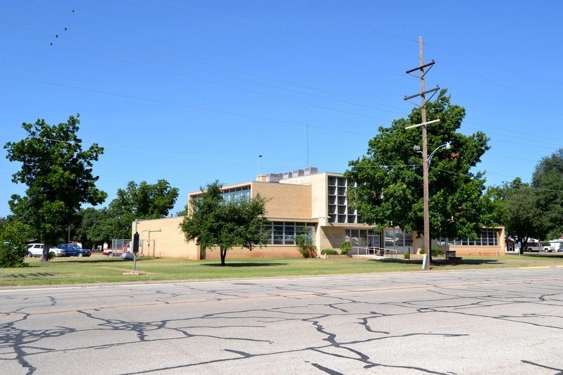
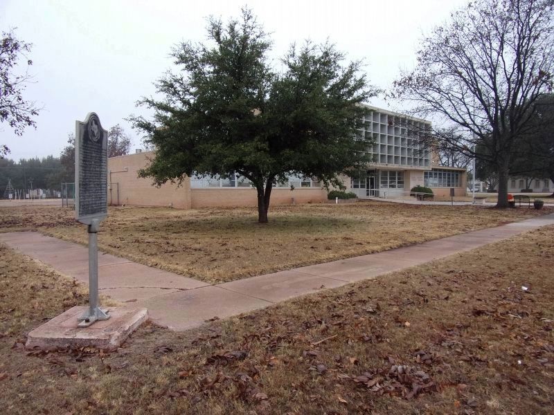
Location. 31° 53.557′ N, 100° 29.119′ W. Marker is in Robert Lee, Texas, in Coke County. Marker is at the intersection of E. 7th Street (Loop State Highway 229) and Commerce Street (State Highway 158), on the right when traveling east on E. 7th Street. Marker is located at the northeast corner of the grounds of the Coke County Court House. Touch for map. Marker is in this post office area: Robert Lee TX 76945, United States of America. Touch for directions.
Other nearby markers. At least 8 other markers are within walking distance of this marker. County Named for Texas Confederate Richard Coke (within shouting distance of this marker); Hayrick Lodge 696, A.F.&A.M. (about 400 feet away, measured in a direct line); Coke County Jail (approx. 0.2 miles away); Silver (approx. 0.2 miles away); First Methodist Church of Robert Lee (approx. 0.2 miles away); Robert Lee Cemetery (approx. 0.7 miles away); Henry Davis Pearce (approx. 0.7 miles away); Locklin Bartholomew Murray (approx. ĺ mile away). Touch for a list and map of all markers in Robert Lee.
Also see . . . Fence Cutting. From the Texas State Historical Associationís “Handbook of Texas Online”. (Submitted on July 20, 2016.)
Credits. This page was last revised on November 2, 2020. It was originally submitted on July 20, 2016, by Duane Hall of Abilene, Texas. This page has been viewed 797 times since then and 78 times this year. Photos: 1, 2. submitted on July 20, 2016, by Duane Hall of Abilene, Texas. 3. submitted on December 1, 2019, by Kayla Harper of Dallas, Texas.


