Kellyton in Coosa County, Alabama — The American South (East South Central)
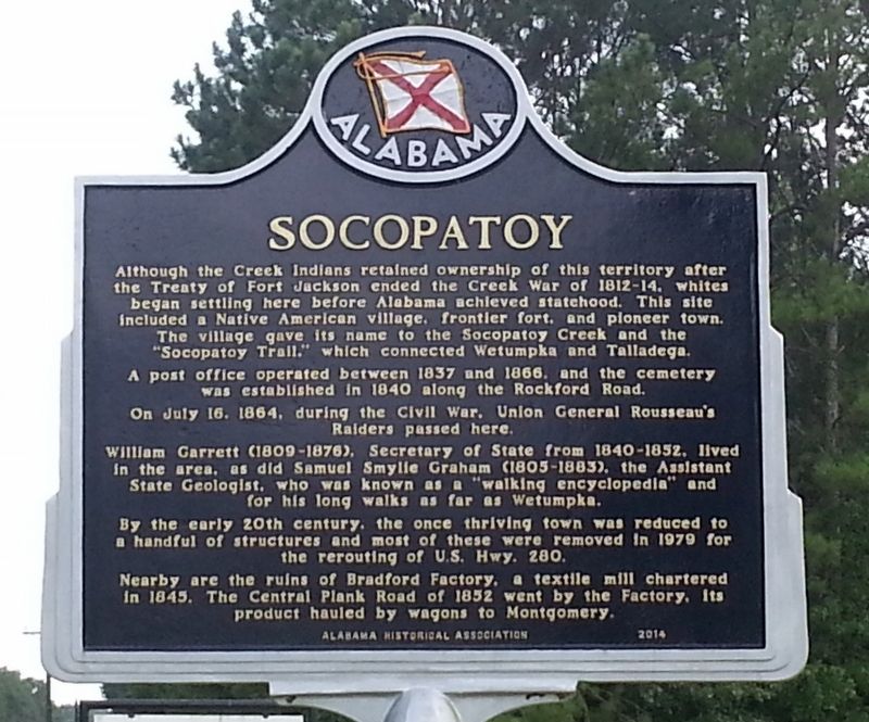
Socopatoy
A post office operated between 1837 and 1866, and the cemetery was established in 1840 along the Rockford Road.
On July 16, 1864, during the Civil War, Union General Rousseau's Raiders passed here.
William Garrett (1809-1879), Secretary of State from 1840-1852, lived in the area, as did Samuel Smylie Graham (1805-1883), the Assistant State Geologist, who was known as a "walking encyclopedia" and for his long walks as far as Wetumpka.
By the early 20th century, the once thriving town was reduced to a handful of structures and most of these were removed on 1979 for the rerouting of U.S. Hwy 280.
Nearby are the ruins of Bradford Factory, a textile mill chartered in 1845. The Central Plank Road of 1852 went by the factory, its product hauled by wagon to Montgomery.
Erected 2014 by Alabama Historical Association.
Topics and series. This historical marker is listed in this topic list: Settlements & Settlers. In addition, it is included in the Alabama Historical Association series list.
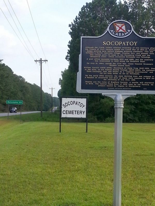
Location. 32° 58.887′ N, 86° 4.002′ W. Marker is in Kellyton, Alabama, in Coosa County. Marker is on Alabama Route 9, 0.2 miles south of U.S. 280, on the right when traveling south. Located at the drive to Socopatoy Church & Cemetery. Touch for map. Marker is in this post office area: Kellyton AL 35089, United States of America. Touch for directions.
Other nearby markers. At least 8 other markers are within 8 miles of this marker, measured as the crow flies. Youngsville (approx. 6.9 miles away); First United Methodist Church 1872 (approx. 6.9 miles away); The Savannah And Memphis Railroad 1874 (approx. 7 miles away); The First Baptist Church (approx. 7.1 miles away); Court Square (approx. 7.1 miles away); Alexander City: A Textile Community (approx. 7.1 miles away); First Presbyterian Church (approx. 7.1 miles away); Needmore 1873 (approx. 7.2 miles away).
Credits. This page was last revised on July 26, 2016. It was originally submitted on July 23, 2016, by David J Gaines of Pinson, Alabama. This page has been viewed 1,136 times since then and 100 times this year. Photos: 1, 2. submitted on July 23, 2016, by David J Gaines of Pinson, Alabama. • Bernard Fisher was the editor who published this page.

