North Bloomfield in Trumbull County, Ohio — The American Midwest (Great Lakes)
Bloomfield Township Commons
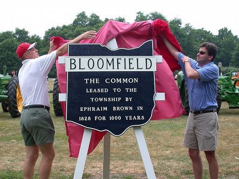
Photographed by Bill Pfingsten
1. Bloomfield Township Commons Marker
Erected by North Bloomfield Historical Society.
Topics. This historical marker is listed in this topic list: Settlements & Settlers. A significant historical year for this entry is 1828.
Location. 41° 27.708′ N, 80° 52.103′ W. Marker is in North Bloomfield, Ohio, in Trumbull County. It is on Ohio Route 87 near Route 45, on the right when traveling north. Touch for map. Marker is in this post office area: North Bloomfield OH 44450, United States of America. Touch for directions.

Regionally, this marker is in the Western Reserve and in the Mahoning Valley. It is also in the American Midwest. Globally, it is in North America, the Western Hemisphere, the Western World, and the Anglosphere. Historically, it finds itself in what was once the Haudenosaunee (Iroquois) Confederacy, the territory of the Mississippian Culture, and the Northwest Territory.
Other nearby markers. At least 8 other markers are within 5 miles of this marker, measured as the crow flies: Century Outhouse (approx. 4.4 miles away); Congregationalist Church
this page online
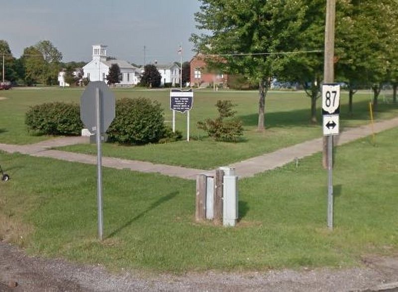
July 25, 2016
2. Bloomfield Township Commons Marker
Credits. This page was last revised on July 25, 2016. It was originally submitted on July 25, 2016, by Roger Peterson of North Bloomfield, Ohio. This page has been viewed 1,000 times since then and 35 times this year. Photos: 1. submitted on July 25, 2016, by Bill Pfingsten of Bel Air, Maryland. 2. submitted on July 25, 2016, by Roger Peterson of North Bloomfield, Ohio. • Bill Pfingsten was the editor who published this page.
