Near Hancock in Washington County, Maryland — The American Northeast (Mid-Atlantic)
Round Top Geology
Chesapeake and Ohio Canal National Historical Park
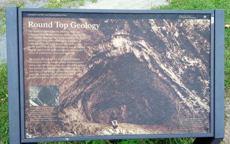
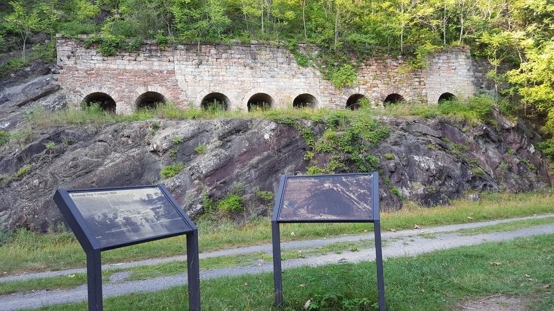
The rocks also tell a story of a violent collision between the North American and African tectonic plates over 240 million years ago—the same collision that formed the Appalachian mountain chain The force of the impact caused the rocks to fold and fault, creating the anticline or upward arch in the rock layers visible under the kilns.
(caption)
Canal engineers discovered high calcium limestone in Round Top during construction in the 1830s. By 1838 Round Top Cement Company began mining operations here. This photograph shows an anticline after the layers of limestone were removed.
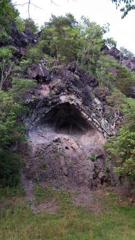
Down the towpath 200 yards to your right is Devil’s Eyebrow, a hollow that formed when the soft, lower layers of calcium-rich rock eroded leaving the more resistant harder layers of the anticline intact.
Erected by National Park Service, U.S. Department of the Interior .
Topics and series. This historical marker is listed in this topic list: Industry & Commerce. In addition, it is included in the Chesapeake and Ohio (C&O) Canal series list. A significant historical year for this entry is 1838.
Location. 39° 40.629′ N, 78° 13.597′ W. Marker is near Hancock, Maryland, in Washington County. Marker can be reached from Canal Street, 3.1 miles west of South Pennsylvania Avenue. Located on the C&O Canal Towpath. Touch for map. Marker is in this post office area: Hancock MD 21750, United States of America. Touch for directions.
Other nearby markers. At least 8 other markers are within 2 miles of this marker, measured as the crow flies. Round Top Cement Mill (here, next to this marker); a different marker also named Round Top Cement Mill (within shouting distance of this marker); Round Top Heritage Area (about 700 feet away, measured in a direct line); Round Top Sand Company (approx. 0.2 miles away); Lovers' Leap (approx. 1.7 miles away in West Virginia); “Old Mr. Flint’s” Home (approx. 1.9 miles away); National Pike Toll House (approx. 2 miles away); Tonoloway Fort (approx. 2 miles away). Touch for a list and map of all markers in Hancock.
Also see . . . Chesapeake & Ohio Canal National Historical Park. National Park Service (Submitted on July 25, 2016.)
Credits. This page was last revised on July 25, 2016. It was originally submitted on July 25, 2016, by Bernard Fisher of Richmond, Virginia. This page has been viewed 370 times since then and 23 times this year. Photos: 1, 2, 3. submitted on July 25, 2016, by Bernard Fisher of Richmond, Virginia.


