Hancock in Washington County, Maryland — The American Northeast (Mid-Atlantic)
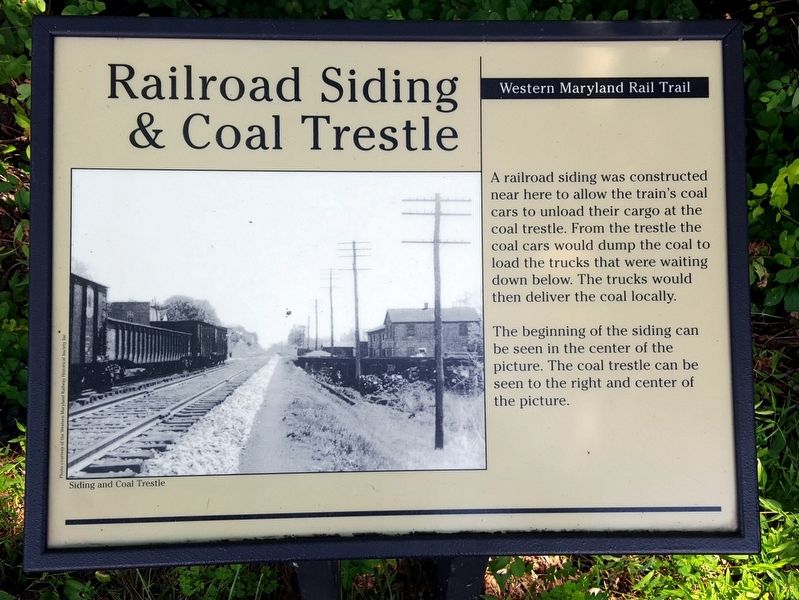
Railroad Siding & Coal Trestle
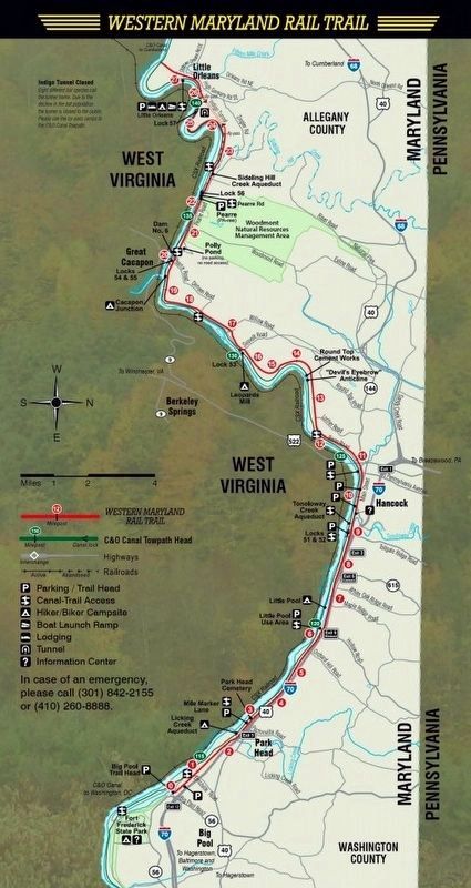
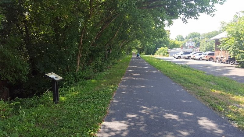
Western Maryland Rail Trail
Photographed by Bernard Fisher, July 23, 2016
1. Railroad Siding & Coal Trestle Marker
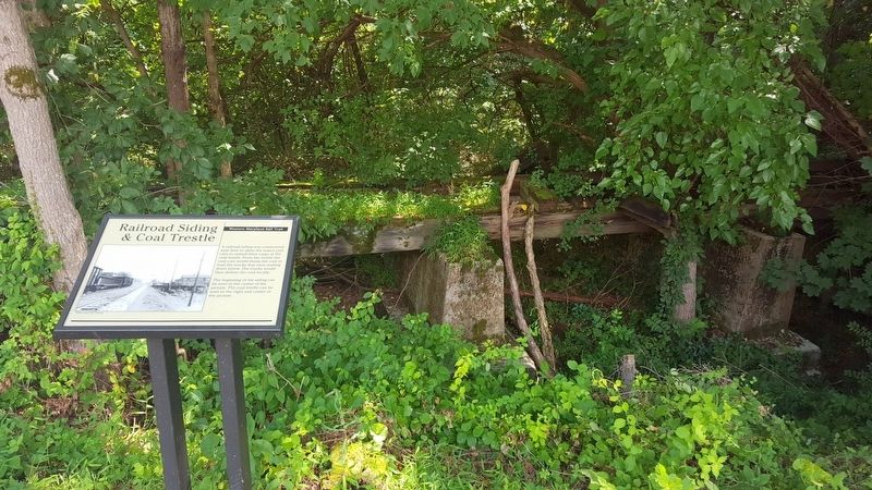
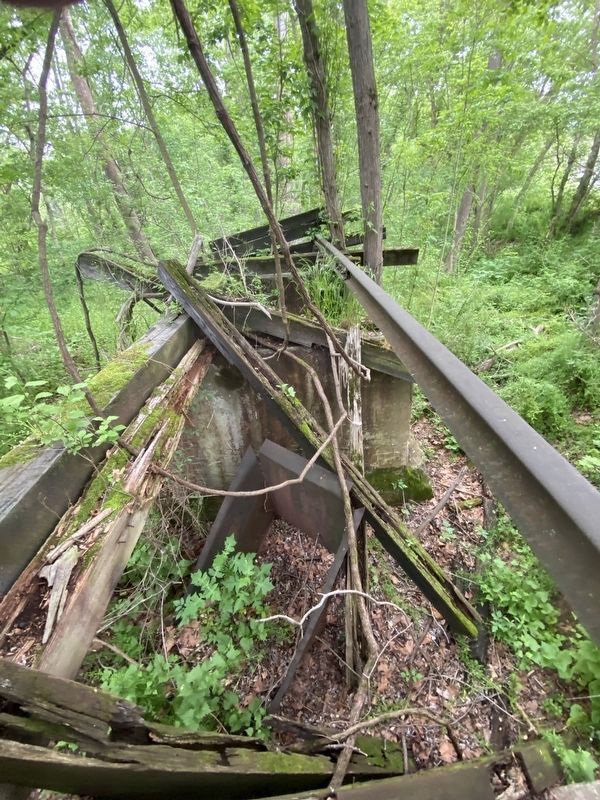
A railroad siding was constructed near here to allow the train's coal cars to unload their cargo at the coal trestle. From the trestle the coal cars would dump the coal to load the trucks that were waiting down below. The trucks would then deliver the coal locally.
The beginning of the siding can be seen in the center of the picture. The coal trestle can be seen to the right and center of the picture.
Erected by Western Maryland Rail Trail.
Topics. This historical marker is listed in these topic lists: Industry & Commerce • Railroads & Streetcars.
Location. 39° 41.849′ N, 78° 10.39′ W. Marker is in Hancock, Maryland, in Washington County. It can be reached from Alley 4 south of East Main Street (Maryland Route 144), on the right when traveling south. Located on the Western Maryland Rail Trail. Touch for map. Marker is at or near this postal address: 67 E Main St, Hancock MD 21750, United States of America. Touch for directions.

Regionally, this marker is in Western Maryland. It is also in the American Mid-Atlantic, in Appalachia, and specifically in Northern
this page online
Other nearby markers. At least 8 other markers are within walking distance of this marker: Hancock Presbyterian Church (approx. 0.2 miles away); a different marker also named Hancock Presbyterian Church (approx. 0.2 miles away); These Bricks (approx. 0.2 miles away); In Honor and Remembrance (approx. ¼ mile away); a different marker also named St. Thomas Episcopal Church (approx. ¼ mile away); Gettysburg Campaign (approx. ¼ mile away); A panorama of the original Maryland-West Virginia river bridge / "The Light House" (approx. ¼ mile away); St. Thomas Church (approx. ¼ mile away). Touch for a list and map of all markers in Hancock.
Another marker is no longer nearby. St. Thomas Episcopal Church (was approx. ¼ mile away but has been replaced with another marker now near it).
via Maryland Department of Natural Resources, unknown
2. Western Maryland Rail Trail
Maryland Department of Natural Resources website entry
Click for more information.
Click for more information.
Photographed by Bernard Fisher, July 23, 2016
3. Western Maryland Rail Trail (WMRT)
Photographed by Bernard Fisher, July 23, 2016
4. Railroad Siding
Photographed by Tim F Williams, May 25, 2020
5. Railroad Siding & Coal Trestle Marker
This picture shows part of the original metal coal chute the rail car would deposit its coal.
Credits. This page was last revised on April 20, 2022. It was originally submitted on July 26, 2016, by Bernard Fisher of Richmond, Virginia. This page has been viewed 708 times since then and 75 times this year. Photos: 1. submitted on July 26, 2016, by Bernard Fisher of Richmond, Virginia. 2. submitted on April 20, 2022, by Larry Gertner of New York, New York. 3, 4. submitted on July 26, 2016, by Bernard Fisher of Richmond, Virginia. 5. submitted on May 25, 2020, by Tim F Williams of Hanover, Pennsylvania.
