Kaufman in Kaufman County, Texas — The American South (West South Central)
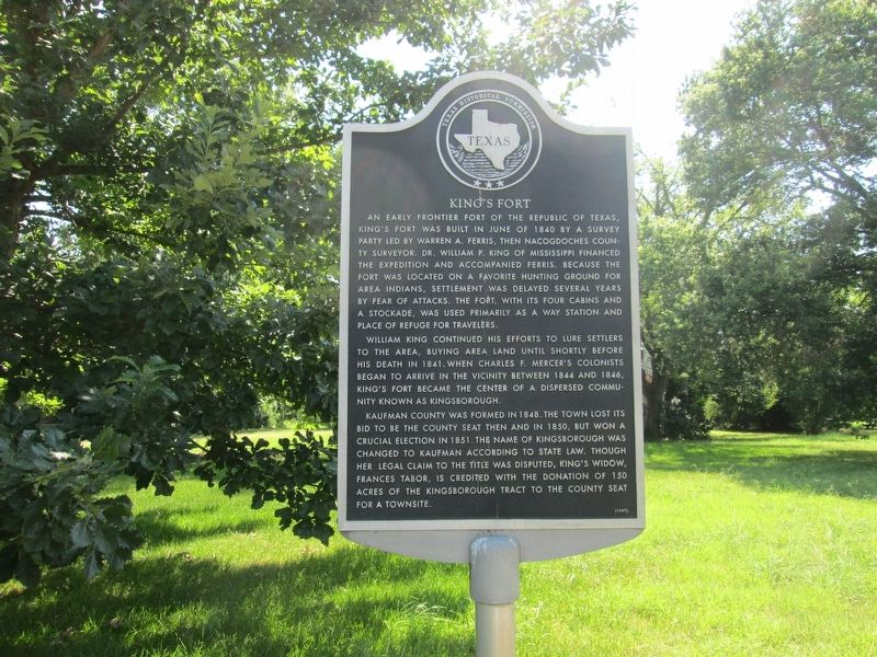
King's Fort
William King continued his efforts to lure settlers to the area, buying area land until shortly before his death in 1841. When Charles F. Mercer's colonists began to arrive in the vicinity between 1844 and 1846, King's Fort became the center of a dispersed community known as Kingsborough.
Kaufman County was formed in 1848. The town lost its bid to be the county seat then and in 1850, but won a crucial election in 1851. The name of Kingsborough was changed to Kaufman according to state law. Though her legal claim to the title was disputed, King's widow, Frances Tabor, is credited with the donation of 150 acres of the Kingsborough tract to the county seat for a townsite.
Erected 1997 by Texas Historical Commission. (Marker Number 11991.)
Topics. This historical marker is listed in these topic lists: Forts and Castles • Settlements & Settlers. A significant historical month for this entry is June 1840.
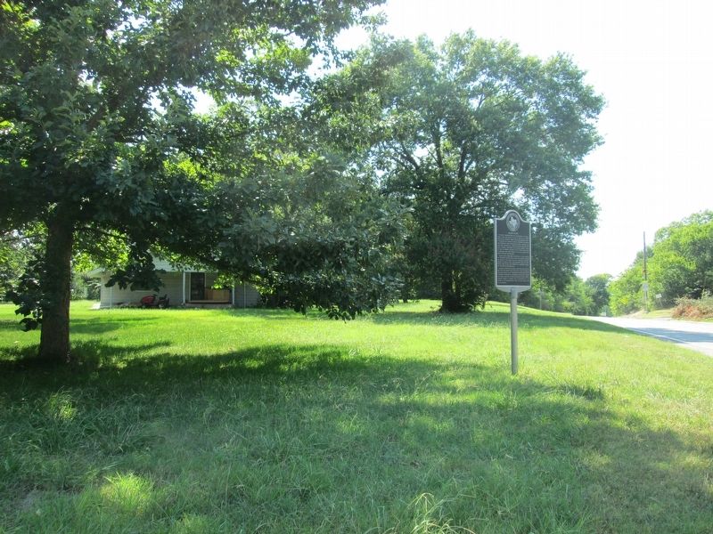
Location. 32° 35.594′ N, 96° 18.701′ W. Marker is in Kaufman, Texas, in Kaufman County. Marker is at the intersection of West Pyle Street and North Clay Street, on the left when traveling west on West Pyle Street. Touch for map. Marker is at or near this postal address: 607 North Clay Street, Kaufman TX 75142, United States of America. Touch for directions.
Other nearby markers. At least 8 other markers are within walking distance of this marker. Huff-Park House (approx. ¼ mile away); Mrs. William P. King (approx. ¼ mile away); Kaufman County (approx. ¼ mile away); Colonel Isham Chisum (approx. 0.3 miles away); Kaufman County Confederate Soldiers Monument (approx. 0.3 miles away); Greenslade Drug Store (approx. 0.3 miles away); First United Methodist Church (approx. 0.4 miles away); First Baptist Church of Kaufman (approx. 0.4 miles away). Touch for a list and map of all markers in Kaufman.
Credits. This page was last revised on July 28, 2016. It was originally submitted on July 27, 2016, by Rheba Bybee of Seagoville, Texas. This page has been viewed 660 times since then and 84 times this year. Photos: 1, 2. submitted on July 27, 2016, by Rheba Bybee of Seagoville, Texas. • Bernard Fisher was the editor who published this page.

