Elma in Erie County, New York — The American Northeast (Mid-Atlantic)
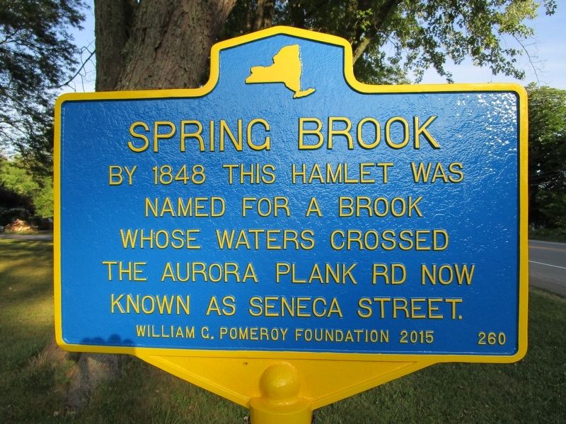
Spring Brook
By 1848 this hamlet was
named for a brook
whose waters crossed
the Aurora Plank Rd now
known as Seneca Street.
Erected 2015 by William G. Pomeroy Foundation. (Marker Number 260.)
Topics and series. This historical marker is listed in these topic lists: Roads & Vehicles • Settlements & Settlers. In addition, it is included in the William G. Pomeroy Foundation series list. A significant historical year for this entry is 1848.
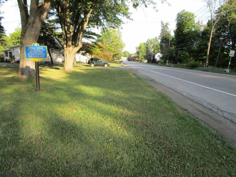
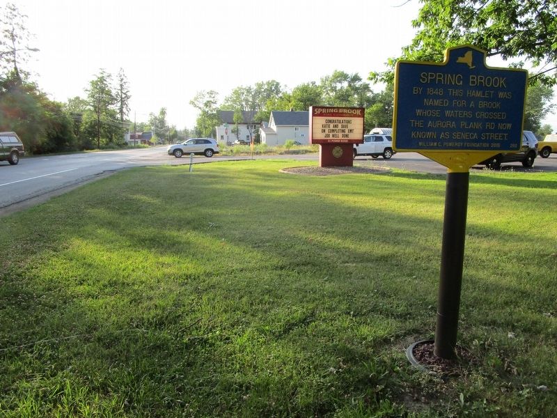
Location. 42° 49.244′ N, 78° 40.791′ W. Marker is in Elma, New York, in Erie County. Marker is at the intersection of Seneca Street (New York State Route 16) and Pound Road, on the left when traveling south on Seneca Street. Touch for map. Marker is in this post office area: Elma NY 14059, United States of America. Touch for directions.
Other nearby markers. At least 8 other markers are within 3 miles of this marker, measured as the crow flies. Lewis Northrup (approx. ¼ mile away); "Old Shep" (approx. 2 miles away); North Star Tavern (approx. 2.1 miles away); Elma Centre (approx. 2.2 miles away); Blossom (approx. 2.6 miles away); Big Flats (approx. 2.9 miles away); Elma Town Museum (approx. 2.9 miles away); Elma Village Mill (approx. 2.9 miles away). Touch for a list and map of all markers in Elma.
Credits. This page was last revised on July 27, 2016. It was originally submitted on July 27, 2016, by Anton Schwarzmueller of Wilson, New York. This page has been viewed 411 times since then and 21 times this year. Photos: 1, 2, 3. submitted on July 27, 2016, by Anton Schwarzmueller of Wilson, New York.


