Frostburg in Allegany County, Maryland — The American Northeast (Mid-Atlantic)
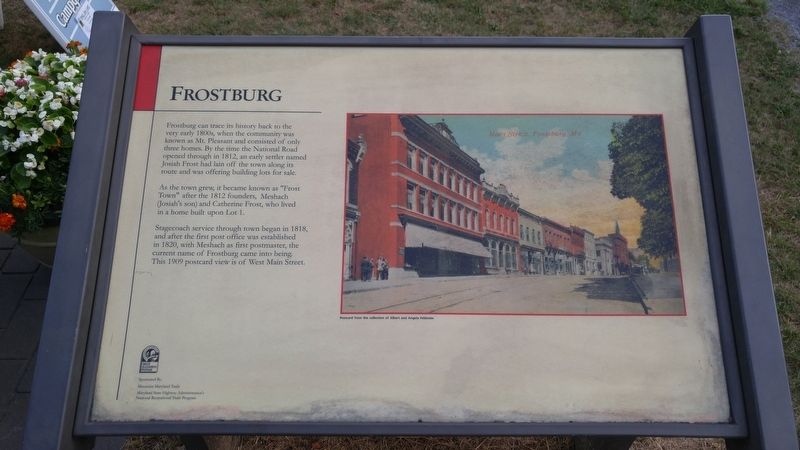
Frostburg
As the town grew, it became known as "Frost Town" after the 1812 founders, Meshach (Josiah's son) and Catherine Frost, who lived in a home built upon Lot 1.
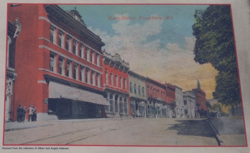
Stagecoach service through town began in 1818, and after the first post office was established in 1820, with Meshach as the first postmaster, the current name of Frostburg came into being. This 1909 postcard view is of West Main Street.
[text with postcard image] From the collection of Albert and Angela Felstein.
Erected by Mountain Maryland Trails, Maryland State Highway Administration.
Topics. This historical marker is listed in this topic list: Settlements & Settlers. A significant historical year for this entry is 1812.
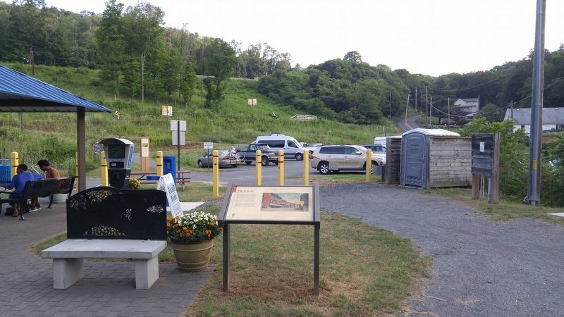
Location. 39° 39.567′ N, 78° 55.307′ W. Marker is in Frostburg, Maryland, in Allegany County. Marker is on New Hope Road, 0.2 miles north of Depot Street, on the right. Marker is near the pavilion next to the Great Allegheny Passage trail. Touch for map . Marker is in this post office area: Frostburg MD 21532, United States of America. Touch for directions.
Other nearby markers. At least 8 other markers are within walking distance of this marker. A different marker also named Frostburg (a few steps from this marker); Coal Mining (a few steps from this marker); The Cumberland and Pennsylvania Railroad (within shouting distance of this marker); The National Road (about 400 feet away, measured in a direct line); Cumberland and Pennsylvania Railroad Depot (approx. 0.2 miles away); The Naming of Frostburg (approx. 0.2 miles away); a different marker also named Frostburg (approx. 0.2 miles away); St. Michael's Parish Hall (approx. 0.3 miles away). Touch for a list and map of all markers in Frostburg.
Credits. This page was last revised on August 1, 2016. It was originally submitted on August 1, 2016, by F. Robby of Baltimore, Maryland. This page has been viewed 361 times since then and 13 times this year. Photos: 1, 2, 3, 4. submitted on August 1, 2016, by F. Robby of Baltimore, Maryland.


