Idaho's First Capitol
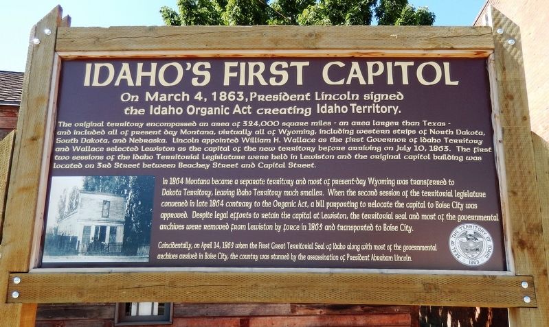
On March 4, 1863, President Lincoln signed the Idaho Organic Act creating Idaho Territory
The original territory encompassed an area of 324,000 square miles – an area larger than Texas – and included all of present day Montana, virtually all of Wyoming, including western strips of North Dakota, South Dakota, and Nebraska. Lincoln appointed William H. Wallace as the first governor of Idaho Territory and Wallace selected Lewiston as the capital of the new territory before arriving on July 10, 1863.
The first two sessions of the Idaho Territorial Legislature were held in Lewiston and the original capitol building was located on 3rd Street between Beachy Street and Capital Street.
In 1864 Montana became a separate territory and most of present-day Wyoming was transferred to Dakota Territory, leaving Idaho Territory much smaller.
When the second session of the territorial legislature convened in late 1864 contrary to the Organic Act, a bill purporting to relocate the capital to Boise City was approved.
Despite legal efforts to retain the capital at Lewiston, the territorial seal and most of the governmental archives were removed from Lewiston by force in 1865 and transported to Boise City.
Coincidentally, on April 14, 1865 when the First Great Territorial Seal of Idaho along with most of the governmental archives arrived in Boise City, the country was stunned by the assassination
Topics and series. This historical marker is listed in these topic lists: Government & Politics • Settlements & Settlers. In addition, it is included in the Former U.S. Presidents: #16 Abraham Lincoln series list. A significant historical date for this entry is March 4, 1863.
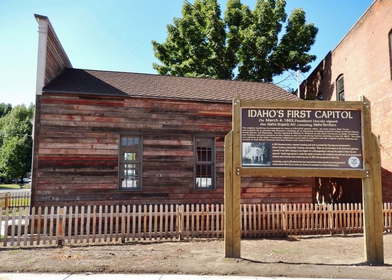
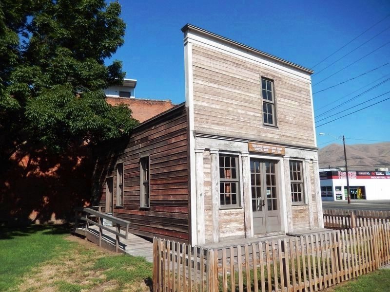
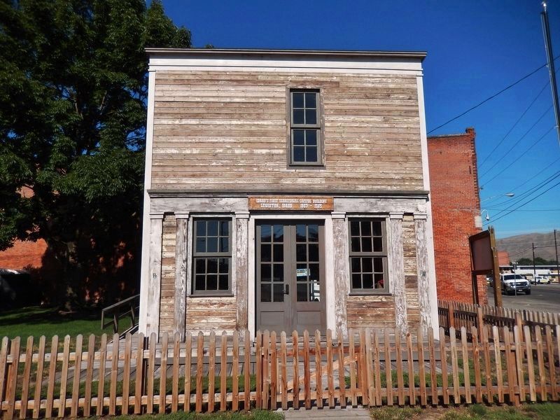
Location. 46° 25.122′ N, 117° 1.077′ W. Marker is in Lewiston, Idaho, in Nez Perce County. Marker is at the intersection of Main Street and 12th Street, on the right when traveling east on Main Street. This marker is located on north side of replica of Idaho's first territorial capitol building. Touch for map. Marker is in this post office area: Lewiston ID 83501, United States of America. Touch for directions.
Other nearby markers. At least 8 other markers are within walking distance of this marker. Relic of Rustic Past (within shouting distance of this marker); The Early Years in Nez Perce County (about 400 feet away, measured in a direct line); 18th St. Bridge (approx. half a mile away); John Silcott (approx. half a mile away); Means Building (approx. 0.6 miles away); Lewis and Clark (approx. 0.6 miles away); Site of Luna House (approx. 0.6 miles away); Pacific Northwest Bell Building (Historic Name) (approx. 0.6 miles away). Touch for a list and map of all markers in Lewiston.
More about this marker. This marker is made of wood, relatively new, and in excellent condition.
Credits. This page was last revised on October 21, 2020. It was originally submitted on August 5, 2016, by Cosmos Mariner of Cape Canaveral, Florida. This page has been viewed 606 times since then and 44 times this year. Photos: 1, 2, 3, 4. submitted on August 5, 2016, by Cosmos Mariner of Cape Canaveral, Florida. • Bill Pfingsten was the editor who published this page.


