Englewood
Founded as Harrisburg- 1841
— The Historic National Road in Ohio —
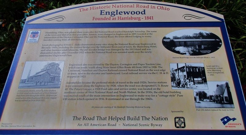
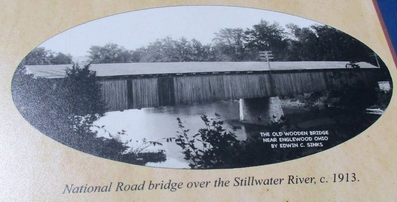
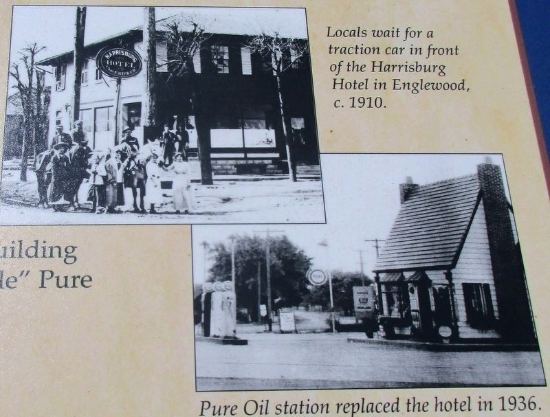
Local Photographer, Edwin C. Sinks documented many sites along the National Road near Englewood in the early 1900s, including the covered bridge over the Stillwater River east of town, the Harrisburg Hotel, and other business establishments. The old wooden bridge was damaged by the 1913 flood and was dismantled shortly after December 1922 when the National Road was rerouted south over the newly constructed Englewood Dam.
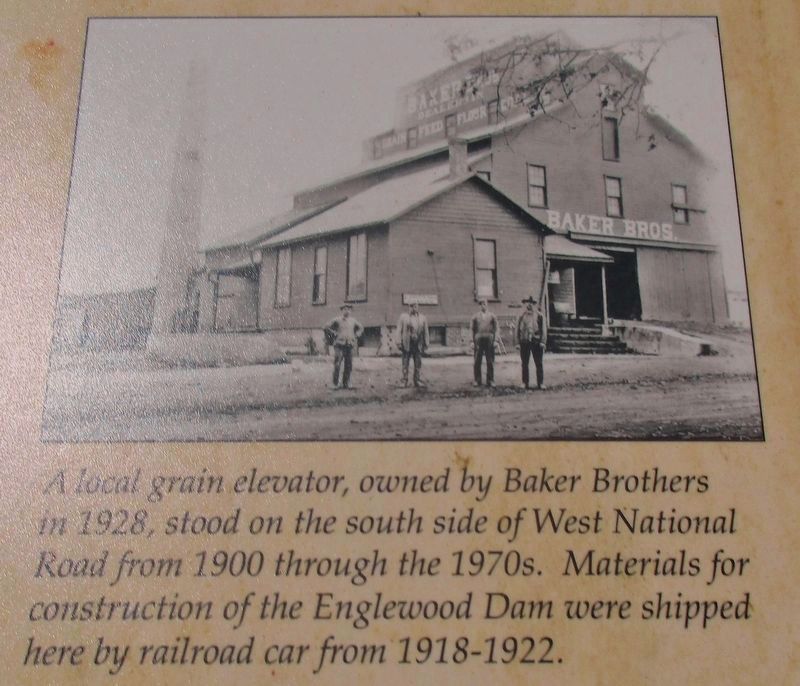
Englewood was served by the Dayton, Covington and Piqua Traction Line, which ran north / south along Main Street (Ohio Route 48) from 1902 to 1926. The Cincinnati, Hamilton and Dayton Railroad crossed National Road on the west edge of town, next to the elevator and lumberyard. Local railroad service via the C.H.&D. stopped in 1923.
Automobiles became the preferred mode of travel in the mid 1920s. Service stations were common along the highway by 1926, when the road was designated U.S. Route 40. The Palace Garage, a 1928 Ford sales and service center, was located on the northeast
corner of West National Road and North Walnut. In the 1930’s, the old hotel building was moved south of the main intersection in Englewood to make way for a “cottage style” Pure Oil station which opened in 1936. It continued in use until the 1960s.Erected 2010 by City of Englewood.
Topics and series. This historical marker is listed in these topic lists: Railroads & Streetcars • Roads & Vehicles • Settlements & Settlers. In addition, it is included in the The Historic National Road series list. A significant historical year for this entry is 1841.
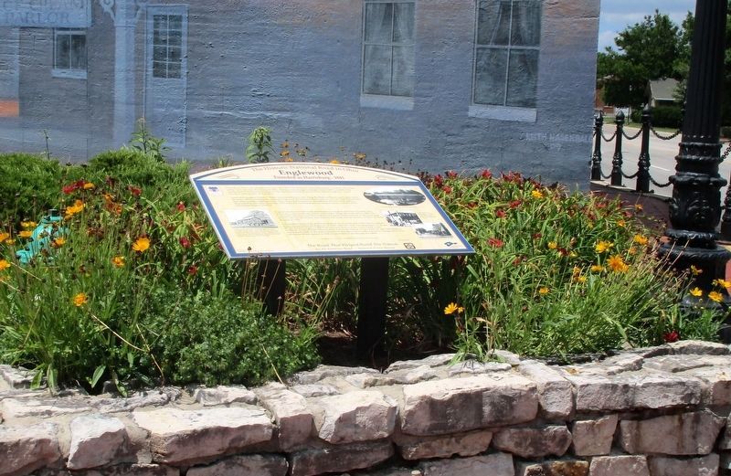
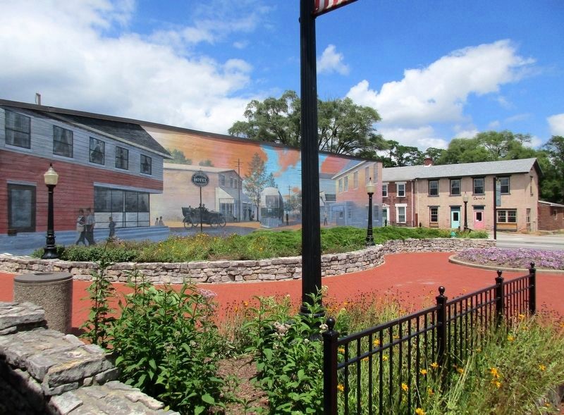
Location. 39° 52.675′ N, 84° 18.142′ W. Marker is in Englewood, Ohio, in Montgomery County. Marker is at the intersection of Dayton-Covington Pike (Ohio Route 48) and National Road US 40 (U.S. 40), on the left when traveling north on Dayton-Covington Pike. marker is in a beautifully landscaped park, in front of a large wall mural. Touch for map. Marker is at or near this postal address: 5 South Main Street, Englewood OH 45322, United States of America. Touch for directions.
Other nearby markers. At least 8 other markers are within 5 miles of this marker, measured as the crow flies. National Road US 40 (approx. 0.3 miles away); Englewood Veterans Monument (approx. 0.3 miles away); The Miami Conservancy District (approx. 1.3 miles away); Englewood Dam (approx. 1.4 miles away); Union Veterans Memorial (approx. 1˝ miles away); St Paul Lutheran Church Dog Leg Road, Dayton (approx. 3.3 miles away); John Hoover (approx. 4.3 miles away); 1804 Quaker Meeting House (approx. 4.3 miles away). Touch for a list and map of all markers in Englewood.
Additional keywords. Old National Road
Credits. This page was last revised on August 8, 2016. It was originally submitted on August 5, 2016, by Rev. Ronald Irick of West Liberty, Ohio. This page has been viewed 621 times since then and 53 times this year. Photos: 1, 2, 3, 4, 5, 6. submitted on August 5, 2016, by Rev. Ronald Irick of West Liberty, Ohio. • Bill Pfingsten was the editor who published this page.
