Bauxite in Saline County, Arkansas — The American South (West South Central)
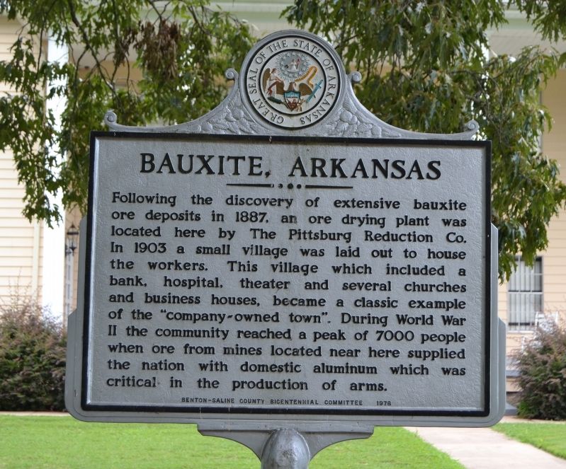
Bauxite, Arkansas
Erected 1976 by Benton-Saline County Bicentennial Committee.
Topics and series. This historical marker is listed in these topic lists: Industry & Commerce • Settlements & Settlers • War, World II. In addition, it is included in the The Spirit of ’76, America’s Bicentennial Celebration series list. A significant historical year for this entry is 1887.
Location. 34° 33.321′ N, 92° 30.617′ W. Marker is in Bauxite, Arkansas, in Saline County. Marker is at the intersection of Benton Street and School Street, on the right when traveling east on Benton Street. Touch for map. Marker is in this post office area: Bauxite AR 72011, United States of America. Touch for directions.
Other nearby markers. At least 8 other markers are within 5 miles of this marker, measured as the crow flies. The Battle of Hurricane Creek (approx. 2.4 miles away); City of Bryant (approx. 2.8 miles away); Ashley Park (approx. 2.8 miles away); George M. Holt / William Ayers Crawford (approx. 4 miles away); The Niloak Pottery (approx. 4.1 miles away); De Soto Trail (approx. 4.4 miles away); Quapaws, Choctaws, and Chickasaws Passed Here (approx. 4.4 miles away); Saline County in the Civil War (approx. 4.4 miles away).
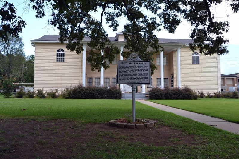
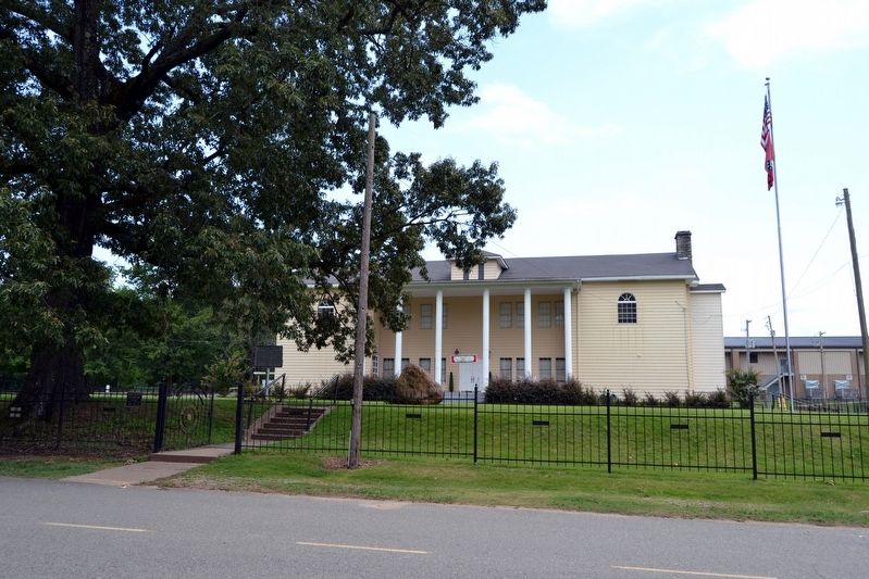
More about this marker. The marker is located in front of the former ALCOA community center, now the Bauxite Museum and is used as a rental hall.
Also see . . . Bauxite (Saline County). From The Arkansas Encyclopedia of History & Culture. (Submitted on August 9, 2016.)
Credits. This page was last revised on September 9, 2020. It was originally submitted on August 9, 2016, by Duane Hall of Abilene, Texas. This page has been viewed 623 times since then and 49 times this year. Photos: 1, 2, 3. submitted on August 9, 2016, by Duane Hall of Abilene, Texas.


