Clarksville in Johnson County, Arkansas — The American South (West South Central)
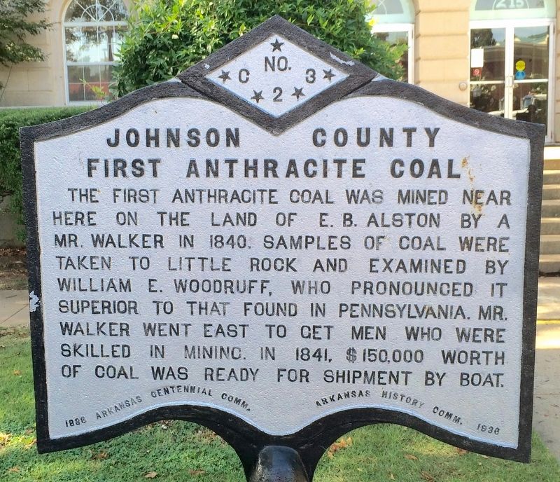
Johnson County First Anthracite Coal
Erected 1936 by Arkansas Centennial Comm., Arkansas History Comm. (Marker Number C-23.)
Topics and series. This historical marker is listed in these topic lists: Natural Resources • Waterways & Vessels. In addition, it is included in the Arkansas Centennial Commission series list. A significant historical year for this entry is 1840.
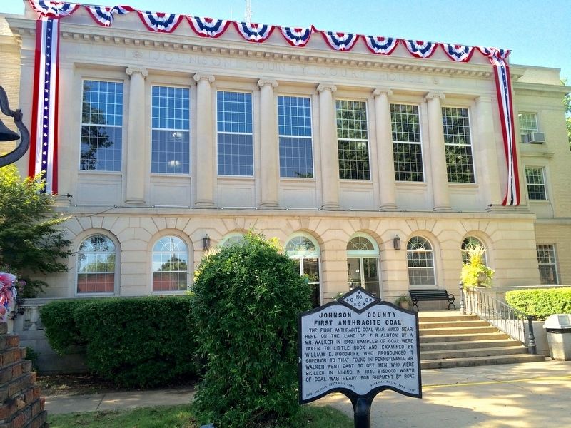
Location. 35° 28.264′ N, 93° 27.903′ W. Marker is in Clarksville, Arkansas, in Johnson County. Marker is at the intersection of West Main Street (U.S. 64) and South Fulton Street, on the right when traveling east on West Main Street. Touch for map. Marker is at or near this postal address: 215 West Main Street, Clarksville AR 72830, United States of America. Touch for directions.
Other nearby markers. At least 7 other markers are within 18 miles of this marker, measured as the crow flies. Lone Pine School Bell (here, next to this marker); Clarksville in the Civil War / Depredations (here, next to this marker); Missouri-Pacific Depot - Clarksville (approx. 0.2 miles away); B.D. Pennington House (approx. 0.3 miles away); Clarksville Confederate Monument (approx. 0.7 miles away); Harmony Presbyterian Church (approx. 7.7 miles away); Stinnets Station (approx. 17.2 miles away).
Credits. This page was last revised on August 9, 2016. It was originally submitted on August 9, 2016, by Mark Hilton of Montgomery, Alabama. This page has been viewed 441 times since then and 31 times this year. Photos: 1, 2. submitted on August 9, 2016, by Mark Hilton of Montgomery, Alabama.

