Near Burney in Shasta County, California — The American West (Pacific Coastal)
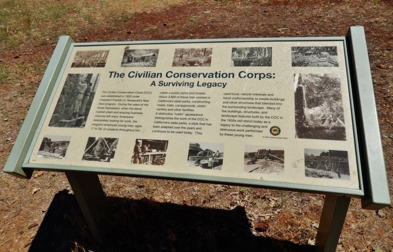
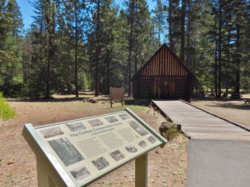
The Civilian Conservation Corps: A Surviving Legacy
Inscription.
The Civilian Conservation Corps (CCC) was established in 1933 under President Franklin D. Roosevelt’s New Deal program. During the years of the Great Depression, when the stock market crash and ensuing business closures left many Americans desperately looking for work, the program employed young men, ages 17 to 28, on projects throughout the nation’s public parks and forests.
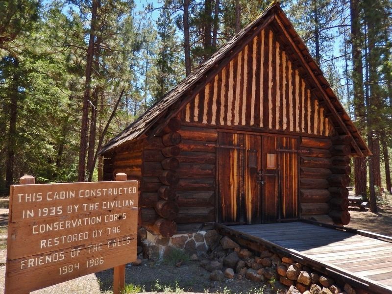
About 3,800 of these men worked in California’s state parks, constructing roads, trails, campgrounds, visitor centers and other facilities. A distinctive “rustic” appearance distinguishes the work of the CCC in California’s state parks, a style that has been adapted over the years and continues to be used today.
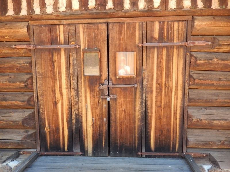
They used local, natural materials and hand-craftsmanship to create buildings and other structures that blended into the surrounding landscape. Many of the buildings, structures, and landscape features built by the CCC in the 1930’s still stand today as a legacy to the challenging and strenuous work performed by these young men.
Erected 2005 by California State Parks.
Topics and series. This historical marker is listed in these topic lists: Charity & Public Work • Parks & Recreational Areas . In addition, it is included in the Civilian Conservation Corps (CCC), and the Former U.S. Presidents: #32 Franklin D. Roosevelt series lists.
Location. 41° 0.802′ N, 121° 39.005′ W. Marker is near Burney, California, in Shasta County. Marker can be reached from Lake Road north of California Highway 89 S, on the right. Touch for map. Marker is in this post office area: Burney CA 96013, United States of America. Touch for directions.
Other nearby markers. At least 5 other markers are within 13 miles of this marker, measured as the crow flies. Burney Falls (about 500 feet away, measured in a direct line); Captain Dick and Richard Pugh (approx. 8.8 miles away); Fort Crook (approx. 8.8 miles away); Glenburn Community Church (approx. 9 miles away); Fountain Fire Vista Point (approx. 12.3 miles away).
Credits. This page was last revised on August 18, 2020. It was originally submitted on August 9, 2016, by Cosmos Mariner of Cape Canaveral, Florida. This page has been viewed 436 times since then and 31 times this year. Photos: 1, 2, 3, 4. submitted on August 9, 2016, by Cosmos Mariner of Cape Canaveral, Florida. • Syd Whittle was the editor who published this page.


