Park City in Barren County, Kentucky — The American South (East South Central)
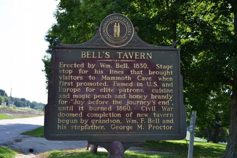
Bell's Tavern
Photographed by Duane Hall, July 31, 2016
1. Bell's Tavern Marker
Erected 1967 by Kentucky Historical Society and Kentucky Department of Highways. (Marker Number 1039.)
Topics and series. This historical marker is listed in this topic list: Industry & Commerce. In addition, it is included in the Kentucky Historical Society series list. A significant historical year for this entry is 1830.
Location. 37° 5.52′ N, 86° 2.986′ W. Marker is in Park City, Kentucky, in Barren County. It is on Old Dixie Highway (State Highway 255) west of J. Brown Road, on the right when traveling east. Touch for map. Marker is in this post office area: Park City KY 42160, United States of America. Touch for directions.

Regionally, this marker is in Mammoth Cave Country and in the Pennyroyal Region. It is also in the American South and specifically
this page online
Other nearby markers. At least 8 other markers are within 5 miles of this marker, measured as the crow flies: Diamond Caverns (approx. 1.8 miles away); a different marker also named Diamond Caverns (approx. 1.8 miles away); Locust Grove Cemetery (approx. 3.1 miles away); Union City: Cave Crossroads (approx. 3.4 miles away); Hearth and Home (approx. 3.4 miles away); Mill Hole Farm-Prehistoric Site (approx. 3½ miles away); Sand Cave (approx. 4.1 miles away); Sand Cave Trail (approx. 4.2 miles away). Touch for a list and map of all markers in Park City.
Photographed by Duane Hall, July 31, 2016
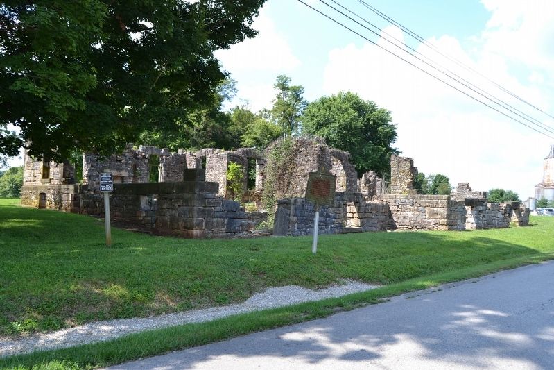
2. Marker in Front of Ruins of Bell's Tavern
Photographed by Duane Hall, July 31, 2016
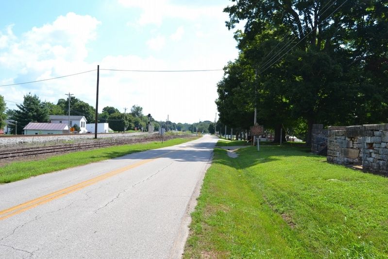
3. View to East Along Old Dixie Highway
Photographed by Duane Hall, July 31, 2016
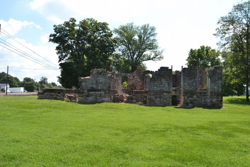
4. Ruins of Bell's Tavern
Credits. This page was last revised on June 3, 2021. It was originally submitted on August 11, 2016, by Duane Hall of Abilene, Texas. This page has been viewed 777 times since then and 46 times this year. Photos: 1, 2, 3, 4. submitted on August 11, 2016, by Duane Hall of Abilene, Texas.
