Clarksville in Red River County, Texas — The American South (West South Central)
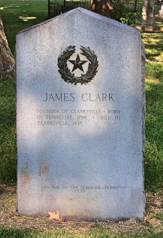
James Clark
in Tennessee, 1798 ◊ Died in
Clarksville, 1838
Erected 1936 by the State of Texas. (Marker Number 16079.)
Topics and series. This historical marker is listed in these topic lists: Cemeteries & Burial Sites • Settlements & Settlers. In addition, it is included in the Texas 1936 Centennial Markers and Monuments series list. A significant historical year for this entry is 1798.
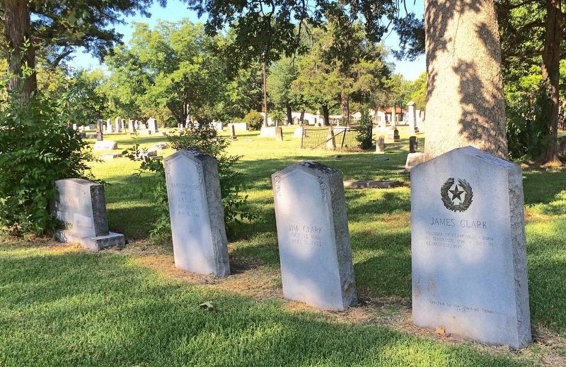
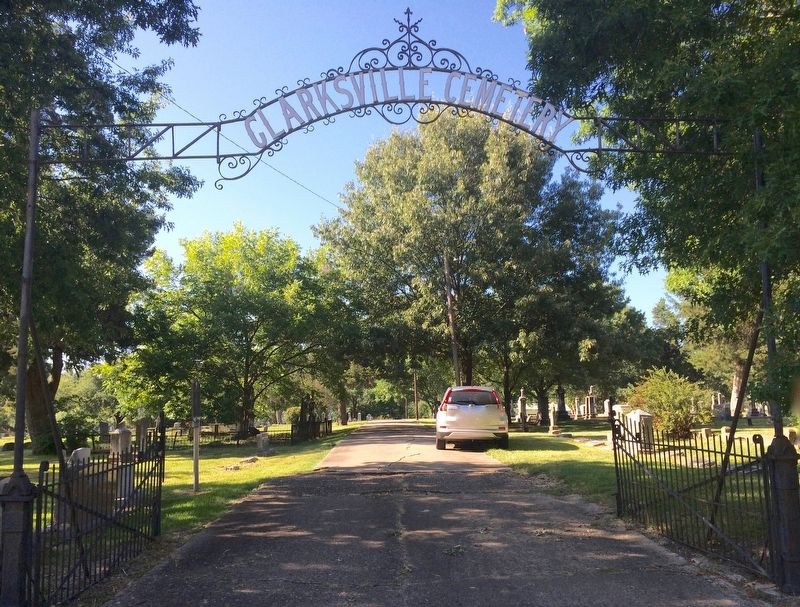
Location. 33° 36.533′ N, 95° 3.22′ W. Marker is in Clarksville, Texas, in Red River County. Marker can be reached from the intersection of West Washington Street and Franklin Street when traveling south. Located in the northwest area of the Clarksville Cemetery. Touch for map. Marker is at or near this postal address: 600 West Washington Street, Clarksville TX 75426, United States of America. Touch for directions.
Other nearby markers. At least 8 other markers are within walking distance of this marker. Clarksville Cemetery (within shouting distance of this marker); Page's Tree (about 300 feet away, measured in a direct line); First Presbyterian Church Clarksville (about 700 feet away); David Gouverneur Burnet (approx. 0.2 miles away); Stagecoach Stand, C. S. A. (approx. ¼ mile away); The Rev. William Stevenson (approx. ¼ mile away); Members of Confederate Congresses (approx. ¼ mile away); Five Signers of the Texas Declaration of Independence from Red River County (approx. ¼ mile away). Touch for a list and map of all markers in Clarksville.
Also see . . . Texas State Historical Association article on James Clark. (Submitted on August 14, 2016, by Mark Hilton of Montgomery, Alabama.)
Credits. This page was last revised on December 22, 2019. It was originally submitted on August 14, 2016, by Mark Hilton of Montgomery, Alabama. This page has been viewed 463 times since then and 25 times this year. Photos: 1, 2, 3. submitted on August 14, 2016, by Mark Hilton of Montgomery, Alabama.


