Gainesville in Cooke County, Texas — The American South (West South Central)
Site of Camp Howze
(One Mile West)
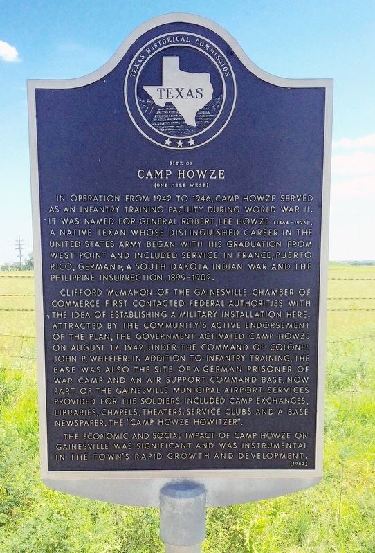
In operation from 1942 to 1946, Camp Howze served as an infantry training facility during World War II. It was named for General Robert Lee Howze (1864-1926), a native Texan whose distinguished career in the United States Army began with his graduation from West Point and included service in France, Puerto Rico, Germany, a South Dakota Indian War and the Philippine Insurrection, 1899-1902.
Clifford McMahon of the Gainesville Chamber of Commerce first contacted Federal authorities with the idea of establishing a military installation here. Attracted by the community's active endorsement of the plan, the government activated Camp Howze on August 17, 1942, under the command of Colonel John P. Wheeler. In addition to infantry training, the base was also the site of a German prisoner of war camp and an air support command base, now part of the Gainesville Municipal Airport. Services provided for the soldiers included camp exchanges, libraries, chapels, theaters, service clubs and a base newspaper, the "Camp Howze Howitzer."
The economic and social impact of Camp Howze on Gainesville was significant and was instrumental in the town's rapid growth and development.
Erected 1982 by Texas Historical Commission. (Marker Number 4743.)
Topics. This historical marker is listed in these topic lists: Military • War, World II. A significant historical date for this entry is August 17, 1942.
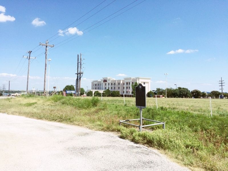
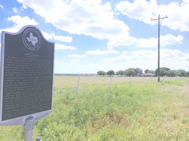
Location. 33° 40.875′ N, 97° 9.579′ W. Marker is in Gainesville, Texas, in Cooke County. Marker is on Farm to Market Road 1202, 0.2 miles east of Frontage Interstate 35 Frontage Road, on the right when traveling west. Touch for map. Marker is in this post office area: Gainesville TX 76240, United States of America. Touch for directions.
Other nearby markers. At least 8 other markers are within 4 miles of this marker, measured as the crow flies. Butterfield Overland Stage Line (approx. 3.4 miles away); Booker T. Washington School (approx. 3.6 miles away); American Paint Horse Association (approx. 3.8 miles away); Moffett Park (approx. 3.9 miles away); Cooke County C.S.A. / 2nd Frontier Regiment (approx. 3.9 miles away); Cooke County (approx. 3.9 miles away); Fairview Cemetery (approx. 3.9 miles away); Cooke County Veterans Memorial (approx. 4 miles away). Touch for a list and map of all markers in Gainesville.
Also see . . . Camp Howze, POW Camp and Infantry Training (with photos). (Submitted on August 15, 2016, by Mark Hilton of Montgomery, Alabama.)
Additional keywords. POW Camp
Credits. This page was last revised on November 24, 2020. It was originally submitted on August 15, 2016, by Mark Hilton of Montgomery, Alabama. This page has been viewed 730 times since then and 51 times this year. Photos: 1, 2, 3. submitted on August 15, 2016, by Mark Hilton of Montgomery, Alabama.


