Greensburg in Green County, Kentucky — The American South (East South Central)
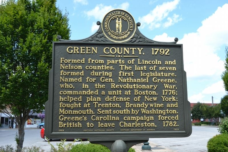
Green County, 1792
Erected 1969 by Kentucky Historical Society, Kentucky Department of Highways. (Marker Number 1239.)
Topics and series. This historical marker is listed in this topic list: Political Subdivisions. In addition, it is included in the Kentucky Historical Society series list. A significant historical year for this entry is 1792.
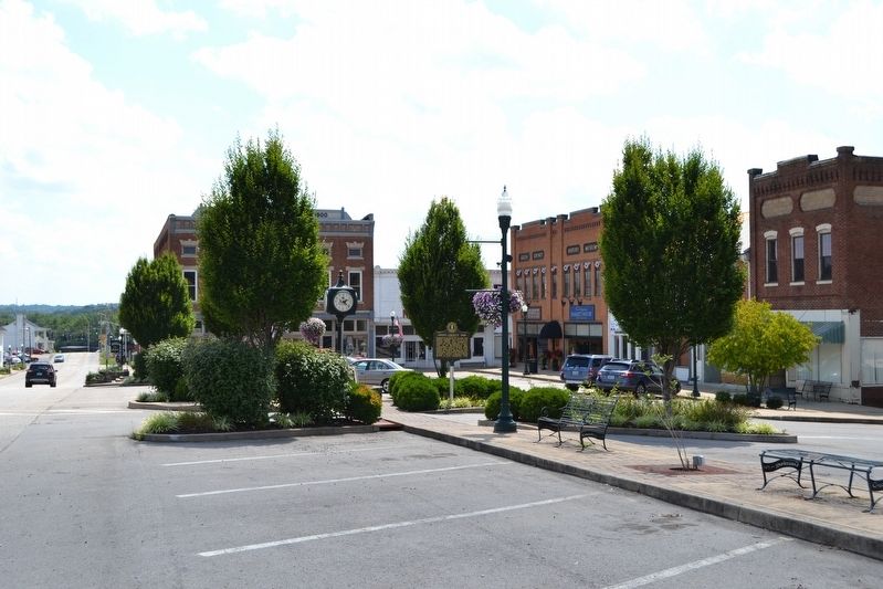
Location. 37° 15.646′ N, 85° 30.118′ W. Marker is in Greensburg, Kentucky, in Green County. Marker can be reached from the intersection of W. Court Street and S. Main Street. Touch for map. Marker is in this post office area: Greensburg KY 42743, United States of America. Touch for directions.
Other nearby markers. At least 8 other markers are within walking distance of this marker. Green Countians Memorial (here, next to this marker); Green County Veterans Memorial (within shouting distance of this marker); Home of Gen. Edward H. Hobson (within shouting distance of this marker); Green County Architecture Heritage History (within shouting distance of this marker); Greensburg Courthouse (within shouting distance of this marker); General Edward Henry Hobson (within shouting distance of this marker); Home of Early Minister (about 500 feet away, measured in a direct line); Jeremiah Abell’s Log House (about 500 feet away). Touch for a list and map of all markers in Greensburg.
Credits. This page was last revised on August 15, 2016. It was originally submitted on August 15, 2016, by Duane Hall of Abilene, Texas. This page has been viewed 355 times since then and 27 times this year. Photos: 1, 2. submitted on August 15, 2016, by Duane Hall of Abilene, Texas.

