
Near Summersville in Green County, Kentucky — The American South (East South Central)
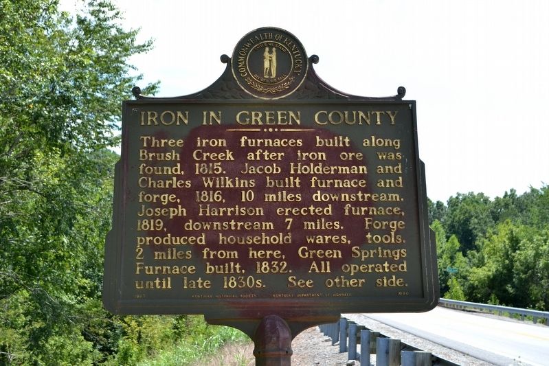
Iron in Green County
⎯⎯⎯
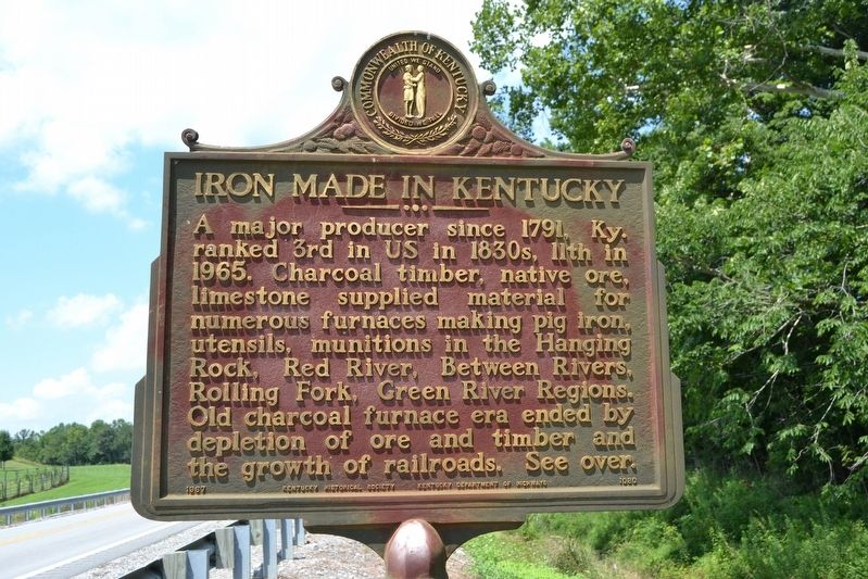
Iron Made in Kentucky
Photographed by Duane Hall, July 31, 2016
1. Iron in Green County / Iron Made in Kentucky Marker
(Side One)
Iron in Green County
Three iron furnaces built along Brush Creek after iron ore was found, 1815. Jacob Holderman and Charles Wilkins built furnace and forge, 1816, 10 miles downstream. Joseph Harrison erected furnace, 1819, downstream 7 miles. Forge produced household wares, tools. 2 miles from here, Green Springs Furnace built, 1832. All operated until late 1830s.
(Side Two)
Iron Made in Kentucky
A major producer since 1791, Ky. ranked 3rd in US in 1830s, 11th in 1965. Charcoal timber, native ore, limestone supplied material for numerous furnaces making pig iron, utensils, munitions in the Hanging Rock, Red River, Between Rivers, Rolling Fork, Green River Regions. Old charcoal furnace era ended by depletion of ore and timber and the growth of railroads.
Erected 1967 by Kentucky Historical Society, Kentucky Department of Highways. (Marker Number 1080.)
Topics and series. This historical marker is listed in this topic list: Industry & Commerce. In addition, it is included in the Appalachian Iron Furnaces, and the Kentucky Historical Society series lists. A significant historical year for this entry is 1815.
Location. 37° 23.024′ N,
this page online

Regionally, this marker is in Kentucky’s Pennyroyal Region. It is also in the American South and specifically in the Upper South. Globally, it is in North America, the Western Hemisphere, the Western World, and the Anglosphere. Historically, it finds itself in what was once the territory of the Mississippian Culture and also the Antebellum South.
Other nearby markers. At least 8 other markers are within 10 miles of this marker, measured as the crow flies: Lincoln's Mentor (approx. 2.1 miles away); Early Gunpowder Mill (approx. 9 miles away); Site, Aetna Furnace (approx. 9.3 miles away); William Mentor Graham (approx. 9.9 miles away); Jeremiah Abell’s Log House (approx. 9.9 miles away); Home of Early Minister (approx. 9.9 miles away); Green County, 1792 (approx. 10 miles away); Green Countians Memorial
Photographed by Duane Hall, July 31, 2016
2. Iron in Green County / Iron Made in Kentucky Marker
Photographed by Duane Hall, July 31, 2016
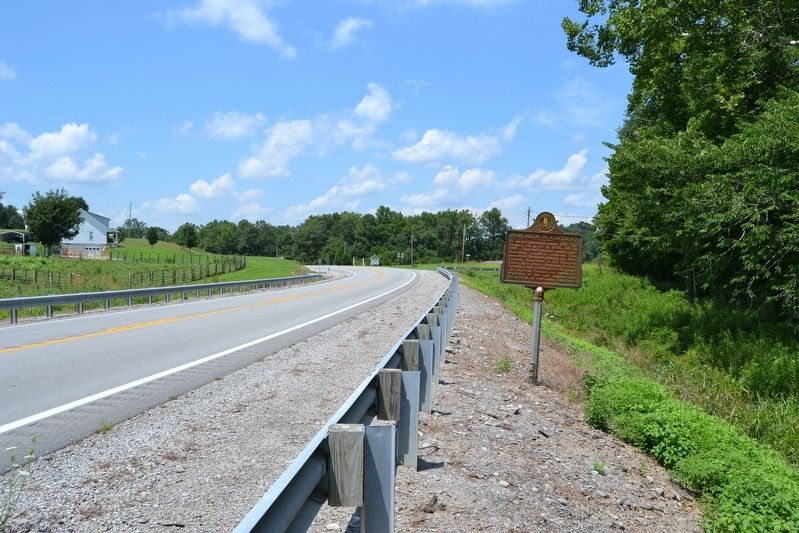
3. View to Northwest Along State Highway 61
Photographed by Duane Hall, July 31, 2016
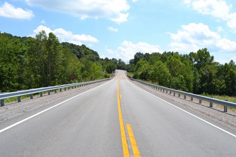
4. View to Southeast Along State Highway 61
Credits. This page was last revised on August 16, 2016. It was originally submitted on August 16, 2016, by Duane Hall of Abilene, Texas. This page has been viewed 607 times since then and 13 times this year. Photos: 1, 2, 3, 4. submitted on August 16, 2016, by Duane Hall of Abilene, Texas.
