Near Colonial Beach in Westmoreland County, Virginia — The American South (Mid-Atlantic)
“O! say can you see…”
| — | Star-Spangled Banner National Historic Trail | — |
Photographed by Don Morfe, August 16, 2016
1. “O! say can you see…” Marker
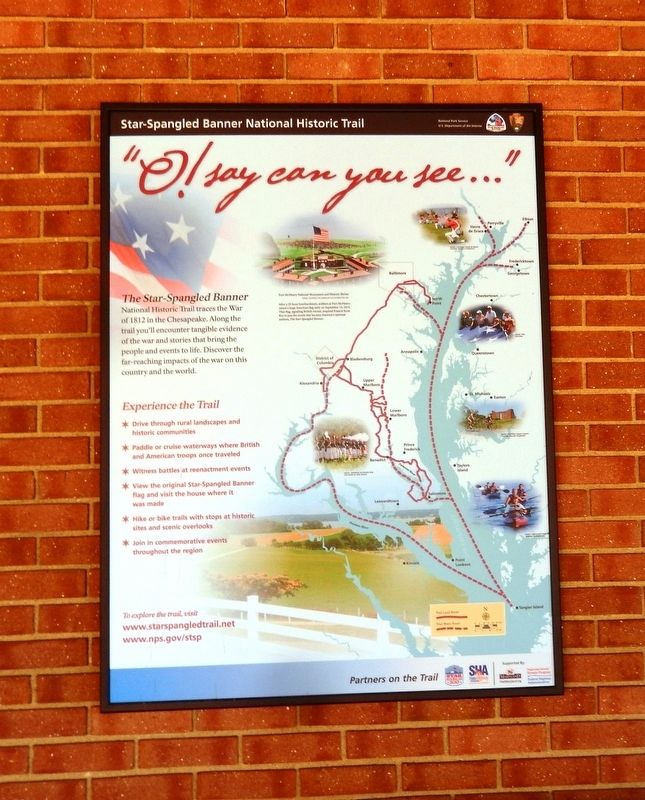
The Star-Spangled Banner National Historic Trail traces the War of 1812 in the Chesapeake. Along the trail you’ll encounter tangible evidence of the war and stories that bring the people and events to life. Discover the far-reaching impacts of the war on this country and the world.
Experience the Trail
* Drive through rural landscapes and historic communities
* Paddle or cruise waterways where British and American troops once traveled
* Witness battles at reenactment events
* View the original Star-Spangled Banner flag and visit the house where it was made
* Hike or bike trails with stops at historic sites and scenic overlooks
* Join in commemorative events throughout the region
(caption)
Fort McHenry National Monument and Historic Shrine
After a 15-hour bombardment, soldiers at Fort McHenry raised a large American flag early on September 14, 1814. That flag, signaling British retreat, inspired Francis Scott Key to pen the words that became America's national anthem, The Star-Spangled Banner.
Erected 2015 by National Park Service, U.S. Department of the Interior.
Topics and series. This historical
this page online
Location. 38° 10.985′ N, 76° 55.084′ W. Marker is near Colonial Beach, Virginia, in Westmoreland County. It can be reached from the intersection of Popes Creek Road and Bridges Creek Road. The marker is attached to the exterior wall of the George Washington Birthplace National Monument Visitor Center. Touch for map. Marker is at or near this postal address: 1732 Popes Creek Road, Colonial Beach VA 22443, United States of America. Touch for directions.

Regionally, this marker is on Virginia’s Northern Neck. It is also in the American South, specifically in the Upper South, in the Tidewater, in the Chesapeake Bay Region, and on the Eastern Seaboard. Globally, it is in the North Atlantic Region, North America, the Western Hemisphere, the Western World, and the Anglosphere. Historically, it finds itself in what was once the territory of the Mississippian Culture, one of the original Thirteen Colonies, one of the Confederate States
Photographed by Don Morfe, August 16, 2016
2. “O! say can you see…” Marker
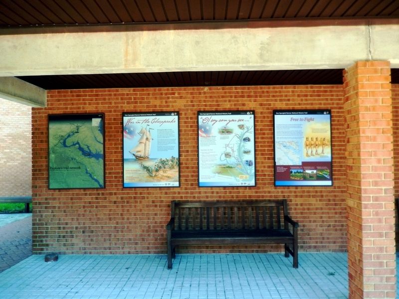
This marker is the third marker from left to right
Other nearby markers. At least 8 other markers are within walking distance of this marker: War in the Chesapeake (here, next to this marker); Free to Fight (here, next to this marker); Explore a trail network (a few steps from this marker); The First People Here (within shouting distance of this marker); Remembering Washington (within shouting distance of this marker); The Tidewater Gentry (about 500 feet away, measured in a direct line); Significance of a Birthplace (approx. 0.2 miles away); Dairy (approx. 0.2 miles away). Touch for a list and map of all markers in Colonial Beach.
Other markers no longer nearby. George Washington Birthplace Site (was a few steps from this marker but has been permanently removed); The Historic Area (was within shouting distance of this marker but has been permanently removed); Popes Creek Plantation (was about 600 feet away but has been permanently removed); George Washington’s Birthplace (was approx. 0.2 miles away but has been permanently removed); Archeology at Popes Creek (was approx. 0.2 miles away but has been permanently removed); The Memorial Area
Photographed by Don Morfe, August 16, 2016
3. “O! say can you see…” Marker
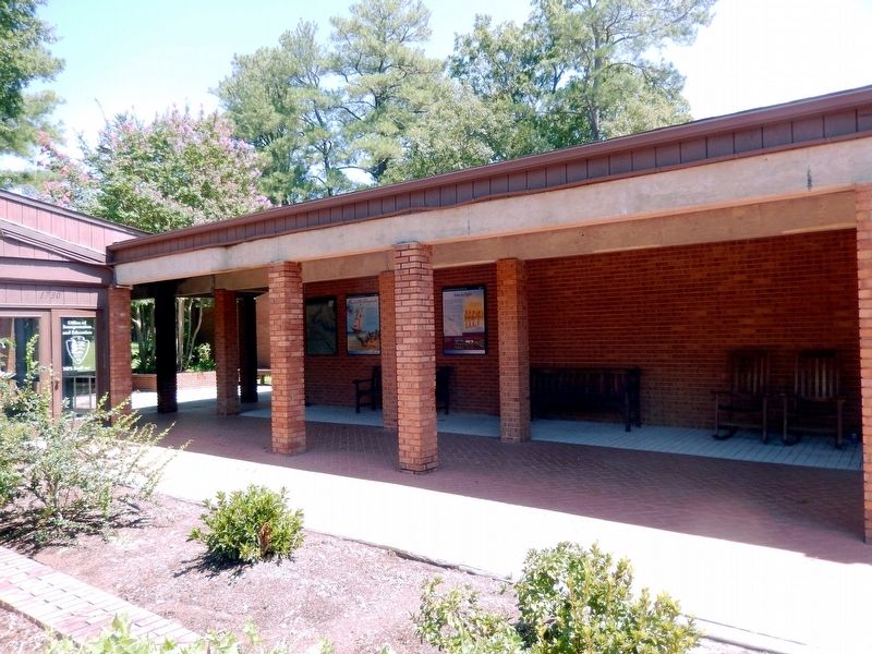
The markers are on the left side of the wall of the George Washington Birthplace National Monument Visitor Center
Also see . . .
1. Star-Spangled Banner National Historic Trail. Fort McHenry National Monument and Shrine (Submitted on August 22, 2016.)
2. Star-Spangled Banner National Historic Trail. National Park Service (Submitted on August 22, 2016.)
3. George Washington Birthplace National Monument. National Park Service (Submitted on August 22, 2016.)
Credits. This page was last revised on July 18, 2026. It was originally submitted on August 20, 2016, by Don Morfe of Baltimore, Maryland. This page has been viewed 579 times since then and 24 times this year. Photos: 1, 2, 3. submitted on August 20, 2016, by Don Morfe of Baltimore, Maryland. • Bernard Fisher was the editor who published this page.
