Colonial Beach in Westmoreland County, Virginia — The American South (Mid-Atlantic)
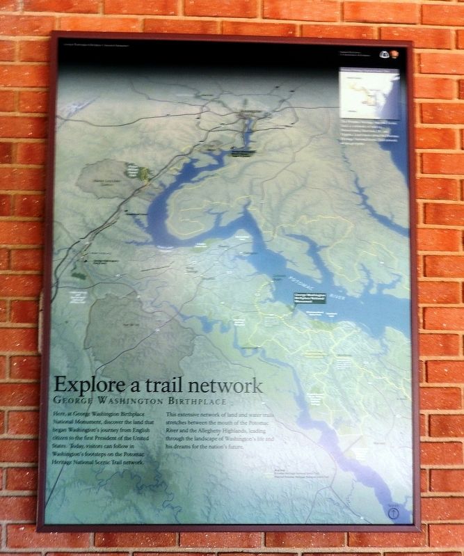
Explore a trail network
| — | George Washington Birthplace National Monument | — |
Photographed by Don Morfe, August 16, 2016
1. Explore a trail network Marker
This extensive network of land and water trails stretches between the mouth of the Potomac River and the Allegheny Highlands, leading through the landscape of Washington’s life and his dreams for the nation’s future.
Erected 2015 by National Park Service, U.S. Department of the Interior.
Topics and series. This historical marker is listed in this topic list: Notable Places. In addition, it is included in the Former U.S. Presidents: #01 George Washington series list.
Location. 38° 10.991′ N, 76° 55.085′ W. Marker is in Colonial Beach, Virginia, in Westmoreland County. It can be reached from the intersection of Popes Creek Road and Bridges Creek Road. The marker is attached to the exterior wall of the George Washington Birthplace National Monument Visitor Center. Touch for map. Marker is
this page online

Regionally, this marker is on Virginia’s Northern Neck. It is also in the American South, specifically in the Upper South, in the Tidewater, in the Chesapeake Bay Region, and on the Eastern Seaboard. Globally, it is in the North Atlantic Region, North America, the Western Hemisphere, the Western World, and the Anglosphere. Historically, it finds itself in what was once the territory of the Mississippian Culture, one of the original Thirteen Colonies, one of the Confederate States of America, and the Antebellum South.
Other nearby markers. At least 8 other markers are within walking distance of this marker: War in the Chesapeake (here, next to this marker); “O! say can you see…” (a few steps from this marker); Free to Fight (a few steps from this marker); The First People Here (within shouting distance of this marker); Remembering Washington (within shouting distance of this marker); The Tidewater Gentry (about 500 feet away, measured in a direct line); Significance of a Birthplace (approx.
Photographed by Don Morfe, August 16, 2016
2. Explore a trail network Marker
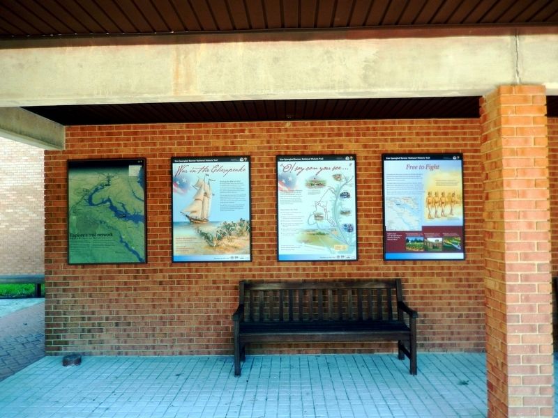
This marker is the first marker on the left.
Other markers no longer nearby. George Washington Birthplace Site (was a few steps from this marker but has been permanently removed); The Historic Area (was within shouting distance of this marker but has been permanently removed); Popes Creek Plantation (was about 600 feet away but has been permanently removed); George Washington’s Birthplace (was approx. 0.2 miles away but has been permanently removed); Archeology at Popes Creek (was approx. 0.2 miles away but has been permanently removed); The Memorial Area (was approx. 0.2 miles away but has been permanently removed).
Also see . . .
1. George Washington Birthplace National Monument. National Park Service (Submitted on August 22, 2016.)
2. Potomac Heritage National Scenic Trail. National Park Service (Submitted on August 22, 2016.)

Photographed by Don Morfe, August 16, 2016
3. Explore a trail network Marker
The markers are on the left of the Visitor Center exterior wall.
Credits. This page was last revised on July 18, 2026. It was originally submitted on August 20, 2016, by Don Morfe of Baltimore, Maryland. This page has been viewed 456 times since then and 19 times this year. Photos: 1, 2, 3. submitted on August 20, 2016, by Don Morfe of Baltimore, Maryland. • Bernard Fisher was the editor who published this page.
