Montross in Westmoreland County, Virginia — The American South (Mid-Atlantic)
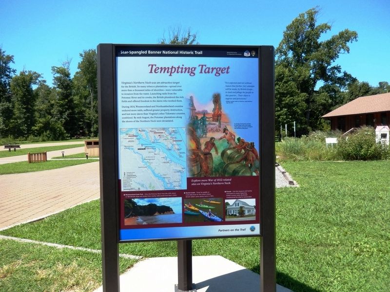
Tempting Target
Star-Spangled Banner National Historic Trail
| — | National Park Service, U.S. Department of the Interior | — |
Photographed by Don Morfe, August 16, 2016
1. Tempting Target Marker
During 1814, Westmoreland and Northumberland counties endured more raids, suffered greater property destruction, and lost more slaves than Virginia’s other Tidewater counties combined. By mid-August, the Potomac plantations along the shores of the Northern Neck were devastated.
"It is expected and not without reason that farther (sic) attempts will be made, by British troops…to land and pillage the people in this quarter… Their object is negroes and provisions.”
–William Lambert letter to Governor James Barbour, April 23, 1814
(caption)
In 25 days during the summer of 1814 there were nine major raids against counties in Virginia and Southern Maryland.
(sidebar)
Explore more War of 1812-related sites on Virginia’s Northern Neck:
* Westmoreland State Park
this page online
* Nomini Creek — Travel by paddled or trailerable boat on the waters where British raiders came ashore twice in 1814.
* Kinsale — Visit the museum and nearby monument to James Sigourney, killed in action when the British overpowered the ship he commanded.
Erected 2013 by National Park Service, U.S. Department of the Interior.
Topics and series. This historical marker is listed in this topic list: War of 1812. In addition, it is included in the Star-Spangled Banner National Historic Trail series list.
Location. 38° 10.194′ N, 76° 51.832′ W. Marker is in Montross, Virginia, in Westmoreland County. It is on Cliff Road (Virginia Route 686) 0.2 miles east of State Park Road, on the left when traveling east. This marker is on the grounds of Westmoreland State Park near the Visitor Center. Touch for map. Marker is at or near this postal address: 1650 State Park Rd, Montross VA 22520, United States of America. Touch for directions.

Regionally,
Photographed by Don Morfe, August 16, 2016
2. Tempting Target Marker
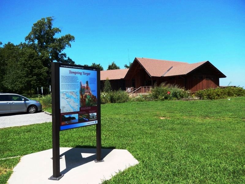
The Visitor Center is in the background.
Other nearby markers. At least 8 other markers are within 2 miles of this marker, measured as the crow flies: War in the Chesapeake (here, next to this marker); Dividends for the Future (approx. 0.6 miles away); A Testament to Craftsmanship (approx. 0.6 miles away); Putting the Potomac on the Map (approx. ¾ mile away); The Stratford Cliffs (approx. 1.6 miles away); Clifts Plantation Site (approx. 1.6 miles away); Clifts Plantation Burial Ground (approx. 1.6 miles away); Westmoreland State Park (approx. 1.8 miles away). Touch for a list and map of all markers in Montross.
Also see . . .
1. Star-Spangled Banner National Historic Trail.
Photographed by Don Morfe, August 16, 2016
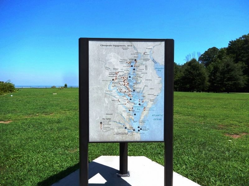
3. Map of the Chesapeake Engagements, 1814
2. Westmoreland State Park. Virginia Department of Conservation and Recreation website entry (Submitted on August 22, 2016.)
Photographed by Don Morfe, August 16, 2016
4. Sign at the entrance to Westmoreland State Park
Credits. This page was last revised on January 7, 2026. It was originally submitted on August 20, 2016, by Don Morfe of Baltimore, Maryland. This page has been viewed 405 times since then and 29 times this year. Photos: 1, 2, 3, 4. submitted on August 20, 2016, by Don Morfe of Baltimore, Maryland. • Bernard Fisher was the editor who published this page.
