Chalmette in St. Bernard Parish, Louisiana — The American South (West South Central)
Fazendeville
Jean Lafitte National Historical Park and Preserve
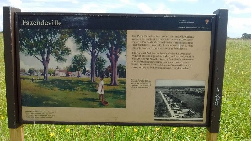
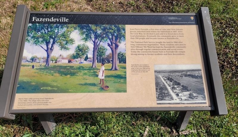
The National Park Service bought the land in 1966 after long, contentious negotiations. Many residents relocated to New Orleans' 9th Ward but kept the Fazendeville community alive through regular communication and social events. Today the community bonds built in Fazendeville remain strong among its former residents and their descendants.
(captions)
Martin Pate's 2002 painting shows Fazendeville in the 1960s. The village had a one-room elementary school, three general stores, two mutual aid societies, and several churches.
Fazendeville was located in the center of the battlefield area; in this circa 1960 photo, Chalmette Monument is out of the picture on the left.
Erected by National Park Service - United States Department of the Interior.
Topics. This historical marker is listed in these topic lists: African Americans • Settlements & Settlers. A significant historical year for this entry is 1857.
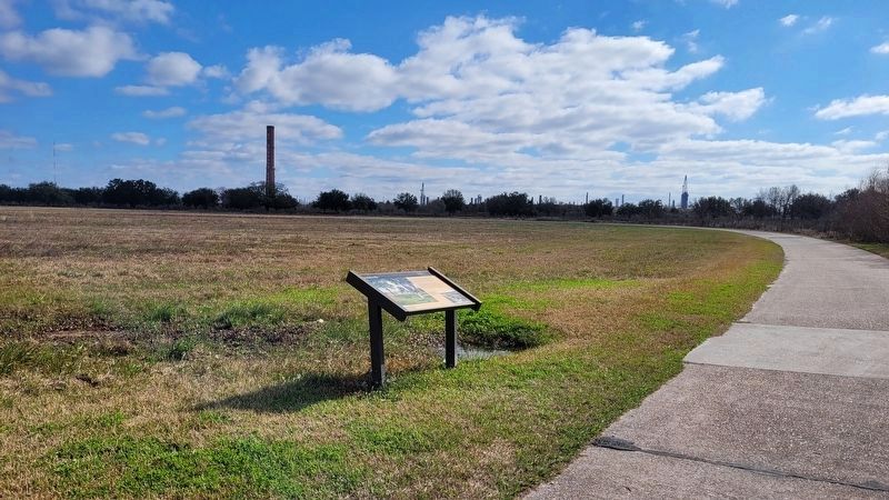
Location. 29° 56.4′ N, 89° 59.529′ W. Marker is in Chalmette, Louisiana, in St. Bernard Parish. Marker is on Chalmette National Park Scenic Road (Tour Loop Rd), 0.2 miles east of Battlefield Road, on the left when traveling east. The Chalmette National Park Scenic Road, or Tour Loop Road, is located within the Chalmette Battlefield portion of the Jean Lafitte National Historical Park and Preserve. Touch for map. Marker is in this post office area: Chalmette LA 70043, United States of America. Touch for directions.
Other nearby markers. At least 8 other markers are within walking distance of this marker. The 93rd Oblique (within shouting distance of this marker); After the Battle (about 700 feet away, measured in a direct line); The Malus-Beauregard House (about 700 feet away); Chalmette Battlefield And National Cemetery (about 700 feet away); British Batteries (about 800 feet away); Batteries 2 and 3 (approx. 0.2 miles away); Rodriguez Canal (approx. 0.2 miles away); Rodriguez Plantation and Macarty House (approx. 0.2 miles away). Touch for a list and map of all markers in Chalmette.
Also see . . . Fazendeville. (Submitted on August 23, 2016, by Tom Bosse of Jefferson City, Tennessee.)
Credits. This page was last revised on January 13, 2023. It was originally submitted on August 23, 2016, by Tom Bosse of Jefferson City, Tennessee. This page has been viewed 628 times since then and 43 times this year. Photos: 1. submitted on August 23, 2016, by Tom Bosse of Jefferson City, Tennessee. 2, 3. submitted on January 13, 2023, by James Hulse of Medina, Texas. • Bernard Fisher was the editor who published this page.


