Chalmette in St. Bernard Parish, Louisiana — The American South (West South Central)
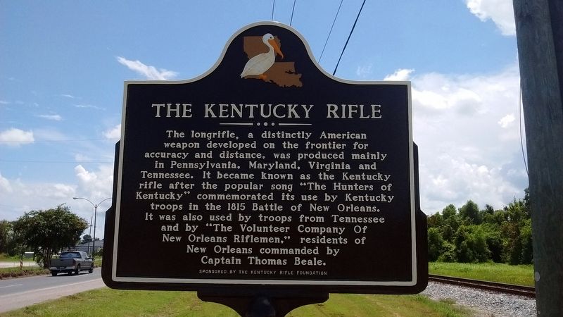
The Kentucky Rifle
Erected by Kentucky Rifle Foundation.
Topics. This historical marker is listed in this topic list: War of 1812. A significant historical year for this entry is 1815.
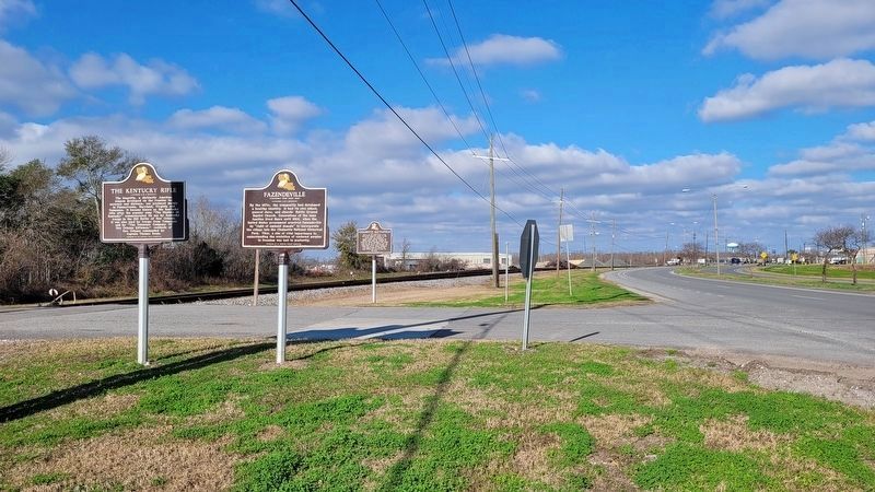
Location. 29° 56.825′ N, 89° 59.472′ W. Marker is in Chalmette, Louisiana, in St. Bernard Parish. Marker is at the intersection of West St Bernard Highway (State Highway 46) and Chalmette Naitional Park Scenic Road, on the left when traveling west on West St Bernard Highway. Touch for map. Marker is in this post office area: Chalmette LA 70043, United States of America. Touch for directions.
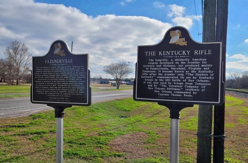
Other nearby markers. At least 8 other markers are within walking distance of this marker. Fazendeville (here, next to this marker); Chalmette Battlefield (a few steps from this marker); Chalmette Battlefield And National Cemetery (within shouting distance of this marker); Batteries Seven and Eight (about 700 feet away, measured in a direct line); Batteries Five and Six (approx. 0.2 miles away); The Main Attack (approx. 0.2 miles away); Pakenham's Fall (approx. ¼ mile away); Battle Of New Orleans 200th Anniversary (approx. 0.3 miles away). Touch for a list and map of all markers in Chalmette.
Also see . . . Hunters of Kentucky. (Submitted on August 23, 2016, by Tom Bosse of Jefferson City, Tennessee.)
Credits. This page was last revised on January 13, 2023. It was originally submitted on August 23, 2016, by Tom Bosse of Jefferson City, Tennessee. This page has been viewed 464 times since then and 34 times this year. Photos: 1. submitted on August 23, 2016, by Tom Bosse of Jefferson City, Tennessee. 2, 3. submitted on January 13, 2023, by James Hulse of Medina, Texas. • Bernard Fisher was the editor who published this page.


