Prestonsburg in Floyd County, Kentucky — The American South (East South Central)
Prestonsburg Toll Bridge / Chesapeake & Ohio Railway System
(Side One)
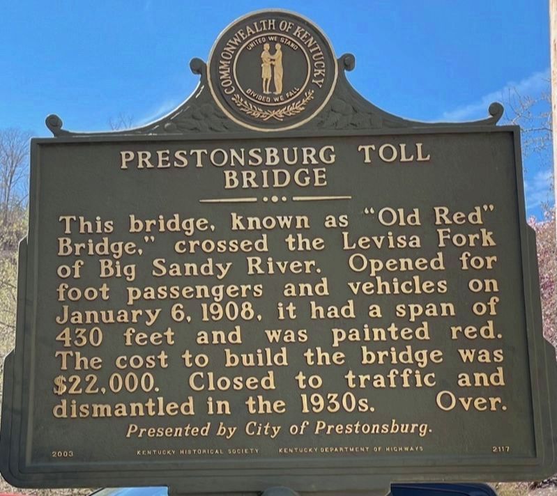
Prestonsburg Toll Bridge
This bridge, known as “Old Red” Bridge,” crossed the Levisa Fork of Big Sandy River. Opened for foot passengers and vehicles on January 6, 1908, it had a span of 430 feet was painted red. The cost to build the bridge was $22,000. Closed to traffic and dismantled in the 1930s.
(Side Two)
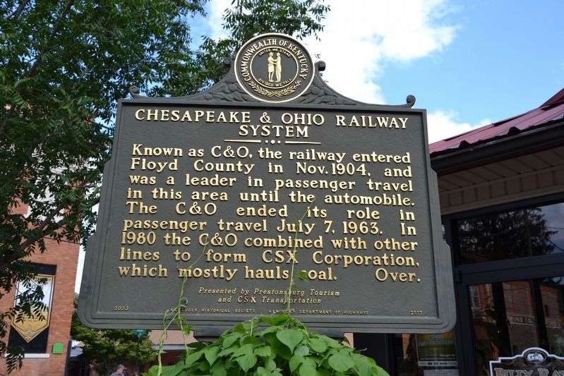
Chesapeake & Ohio Railway System
Known as C&O, the railway entered Floyd County in Nov. 1904, and was a leader in passenger travel in this area until the automobile. The C&O ended its role in passenger travel July 7, 1963. In 1980 the C&O combined with other lines to form CSX Corporation, which mostly hauls coal.
Erected 2003 by Kentucky Historical Society, Kentucky Department of Highways. (Marker Number 2117.)
Topics and series. This historical marker is listed in these topic lists: Bridges & Viaducts • Railroads & Streetcars • Roads & Vehicles. In addition, it is included in the Kentucky Historical Society series list. A significant historical month for this entry is November 1904.
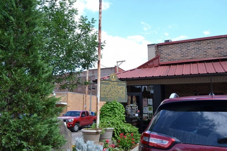
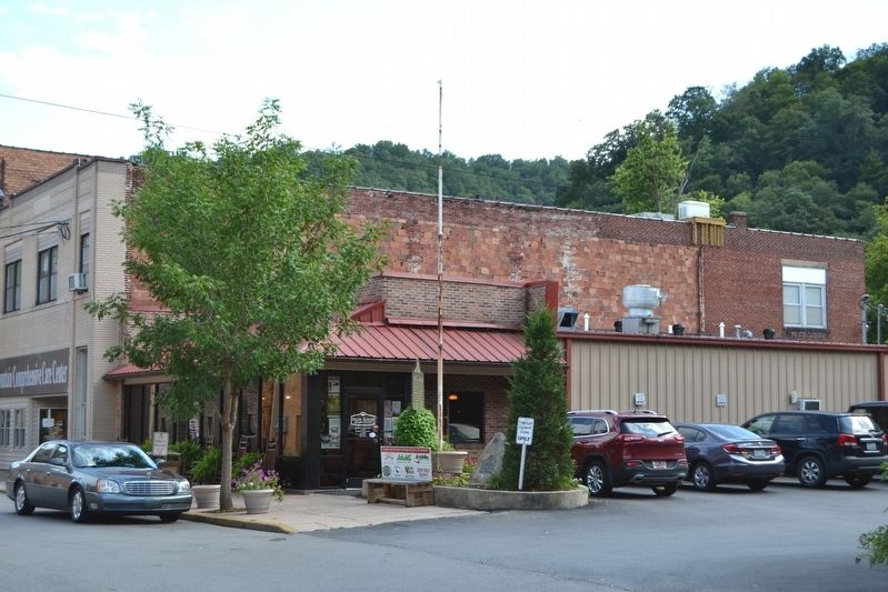
Location. 37° 40.029′ N, 82° 46.523′ W. Marker is in Prestonsburg, Kentucky, in Floyd County. Marker is at the intersection of N. Front Street and W. Court Street, on the left when traveling north on N. Front Street. Touch for map. Marker is at or near this postal address: 101 N Front St, Prestonsburg KY 41653, United States of America. Touch for directions.
Other nearby markers. At least 8 other markers are within walking distance of this marker. John Graham (here, next to this marker); Early Commerce (about 400 feet away, measured in a direct line); Civil War Event (about 600 feet away); Greenville R. Davidson (approx. 0.2 miles away); County Named, 1799 (approx. 0.2 miles away); Floyd County Veterans Memorial (approx. 0.2 miles away); Ferguson Town Branch Ferry and Dock (approx. 0.2 miles away); The Burns House / A Brief History of the Garfield Place (approx. ¼ mile away). Touch for a list and map of all markers in Prestonsburg.
Credits. This page was last revised on March 29, 2021. It was originally submitted on August 24, 2016, by Duane Hall of Abilene, Texas. This page has been viewed 498 times since then and 49 times this year. Photos: 1. submitted on March 28, 2021, by Frank Profitt of Georgetown, Kentucky. 2, 3, 4. submitted on August 24, 2016, by Duane Hall of Abilene, Texas.


