Marker Logo HMdb.org THE HISTORICAL
MARKER DATABASE
“Bite-Size Bits of Local, National, and Global History”
Near Lancaster in Lancaster County, Virginia — The American South (Mid-Atlantic)
 

Major Edward Dale


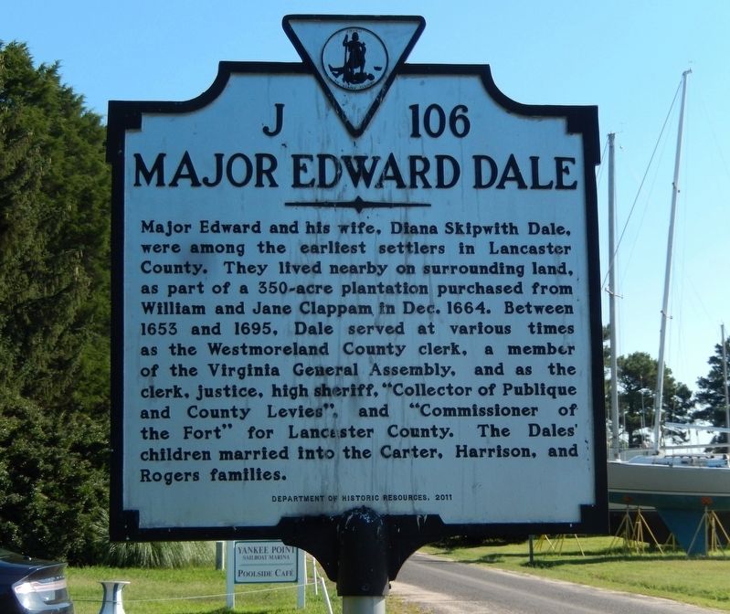
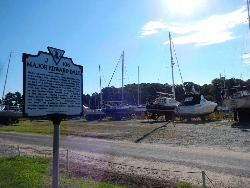
Major Edward Dale Marker image. Click for full size.
Photographed By Don Morfe, August 17, 2016
1. Major Edward Dale Marker
Inscription. Major Edward and his wife, Diana Skipwith Dale, were among the earliest settlers in Lancaster County. They lived nearby on surrounding land, as part of a 350-acre plantation purchased from William and Jane Clappam in Dec. 1664. Between 1653 and 1695, Dale served at various times as the Westmorland County clerk, a member of the Virginia General Assembly, and as the clerk, justice, high sheriff, “Collector of Publique and County Levies”, and “Commissioner of the Fort” for Lancaster County. The Dales’ children married into Carter, Harrison and Rogers families.
 
Erected 2011 by Department of Historic Resources. (Marker Number J-106.)
 
Topics and series. This historical marker is listed in these topic lists: Colonial EraGovernment & PoliticsSettlements & Settlers. In addition, it is included in the Virginia Department of Historic Resources (DHR) series list. A significant historical month for this entry is December 1664.
 
Location. 37° 41.688′ N, 76° 29.346′ W. Marker is near Lancaster, Virginia, in Lancaster County. Marker is on Oak Hill Road (Virginia Route 610) 0.3 miles south of Yankee Point Road (Virginia Route 730), on the right when traveling south. The marker is on the grounds of the Yankee Point Marina. Touch for map. Marker
Paid Advertisement
Click on the ad for more information.
Please report objectionable advertising to the Editor.
Click or scan to see
this page online
is at or near this postal address: 1279 Oak Hill Rd, Lancaster VA 22503, United States of America. Touch for directions.
 
Other nearby markers. At least 8 other markers are within 5 miles of this marker, measured as the crow flies. Barford (approx. 2.2 miles away); Corotoman (approx. 3.7 miles away); Christ Church (approx. 3.7 miles away); Christ Church Lancaster (approx. 3.7 miles away); Foundation for Historic Christ Church, Inc. (approx. 3.7 miles away); Virginia Founders, Revolutionary War Patriots and War of 1812 Veterans (approx. 3.7 miles away); Site of Robert Carter's Brick Kiln (approx. 3.8 miles away); Irvington World War I Memorial (approx. 4.4 miles away).
 
Major Edward Dale Marker image. Click for full size.
Photographed By Don Morfe, August 17, 2016
2. Major Edward Dale Marker
The Yankee Point Marina boat yard is in the background
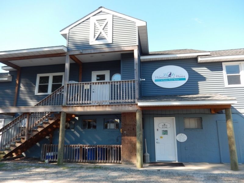
Windows at the Water at Yankee Point Marina-Restaurant image. Click for full size.
Photographed By Don Morfe, August 17, 2016
3. Windows at the Water at Yankee Point Marina-Restaurant
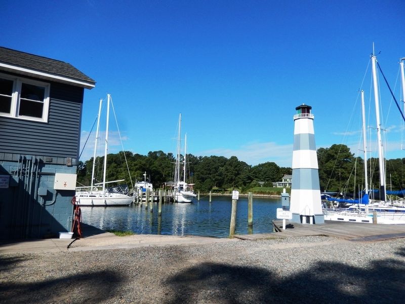
Lighthouse at the Yankee Point Marina image. Click for full size.
Photographed By Don Morfe, August 17, 2016
4. Lighthouse at the Yankee Point Marina
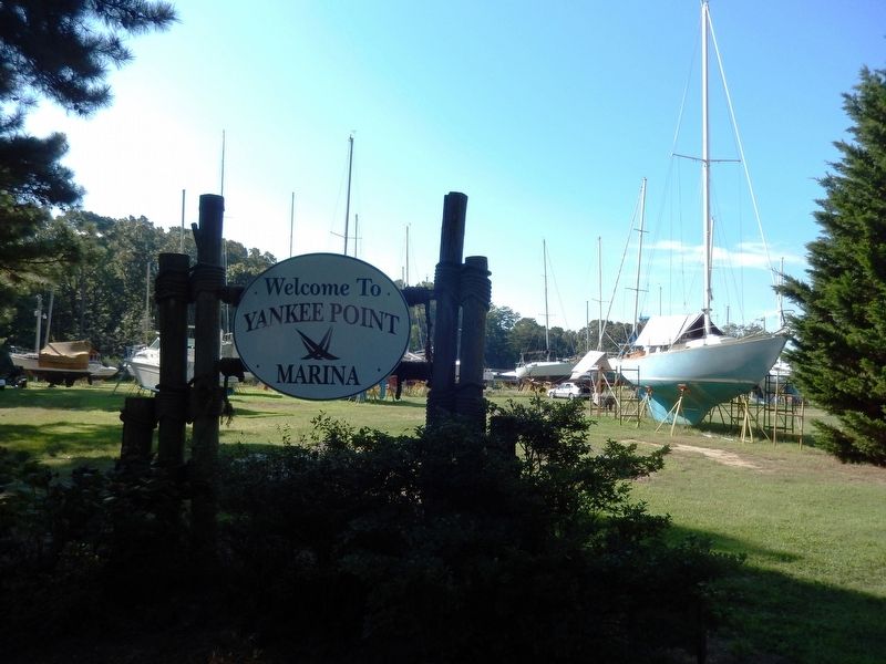
Sign at the entrance to Yankee Point Marina image. Click for full size.
Photographed By Don Morfe, August 17, 2016
5. Sign at the entrance to Yankee Point Marina
 
 
Credits. This page was last revised on June 27, 2021. It was originally submitted on August 24, 2016, by Don Morfe of Baltimore, Maryland. This page has been viewed 1,162 times since then and 128 times this year. Photos:   1, 2, 3, 4, 5. submitted on August 24, 2016, by Don Morfe of Baltimore, Maryland. • Bernard Fisher was the editor who published this page.
Share this page.  
Share on Tumblr
m=97204

CeraNet Cloud Computing sponsors the Historical Marker Database.
This website earns income from purchases you make after using our links to Amazon.com. We appreciate your support.
Paid Advertisement
May. 5, 2024