Bloomfield in Capitol Region, Connecticut — The American Northeast (New England)
The Village Green
Photographed by Michael Herrick, August 26, 2016
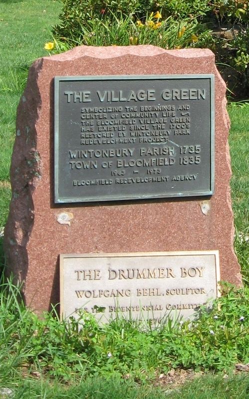
1. The Village Green Marker
Symbolizing the Beginnings and
Center of Community Life
The Bloomfield Village Green
Has Existed Since the 1700’s
Restored by Wintonbury Park
Redevelopment Project
Wintonbury Parish 1735
Town of Bloomfield 1835
1963 – 1973
Bloomfield Redevelopment Agency
Wolfgang Behl, Sculptor
For the Bicentennial Committee
June 1976
Topics. This historical marker is listed in this topic list: Settlements & Settlers.
Location. 41° 49.879′ N, 72° 44.225′ W. Marker is in Bloomfield in Capitol Region, Connecticut. It is at the intersection of Bloomfield Avenue (Connecticut Route 189) and Park Avenue ( Route 178), on the right when traveling north on Bloomfield Avenue. Located on the Bloomfield Town Green. Touch for map. Marker is in this post office area: Bloomfield CT 06002, United States of America. Touch for directions.

Regionally, this marker is in the Connecticut River Valley, in Greater Hartford, and in the Knowledge Corridor. It is also in the American Northeast and in New England. Globally, it is in North America, the Western Hemisphere, the Western World, and the Anglosphere. Historically, it finds itself in what was once Hartford County and also one of the original Thirteen Colonies.
Other nearby markers. At least 8 other markers are within walking distance of this marker: Bloomfield World War II Memorial (a few steps from this marker); Bloomfield Civil War Memorial (a few steps from this marker); Bloomfield Vietnam Veterans Monument (within shouting distance of this marker); Roll of Honor (within shouting distance of this marker); Bloomfield Korean War Memorial (within shouting distance of this marker); Site of Bloomfield Methodist Church (about 400 feet away, measured in a direct
this page online
Photographed by Michael Herrick, August 26, 2016
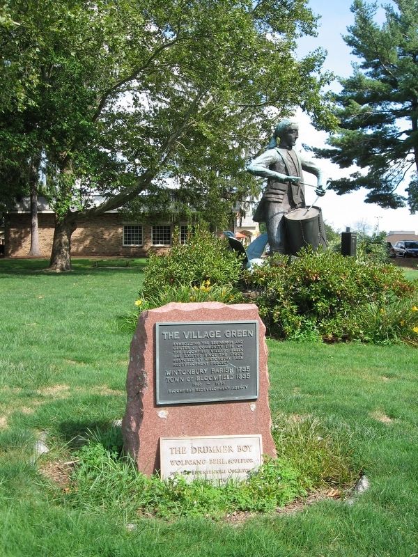
2. The Village Green Marker
Photographed by Michael Herrick, August 26, 2016
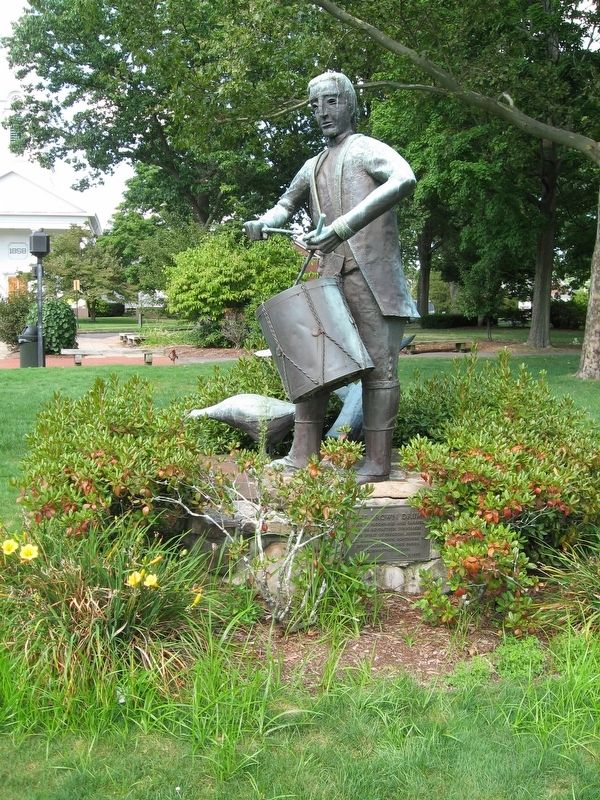
3. The Drummer Boy
Photographed by Michael Herrick, August 26, 2016
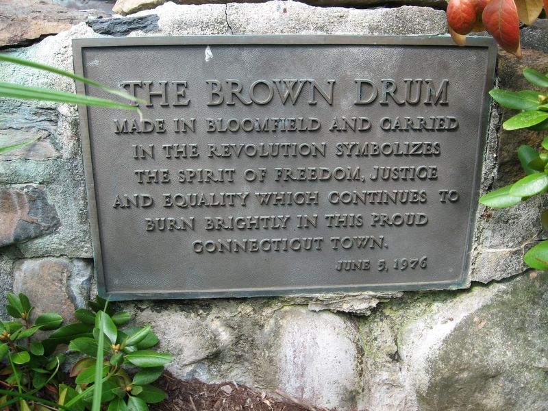
4. The Drummer Boy
Made in Bloomfield and Carried
In the Revolution Symbolizes
The Spirit of Freedom, Justice
And Equality Which Continues To
Burn Brightly in This Proud
Connecticut Town.
June 5, 1976
Credits. This page was last revised on May 19, 2026. It was originally submitted on August 29, 2016, by Michael Herrick of Southbury, Connecticut. This page has been viewed 401 times since then and 37 times this year. Photos: 1, 2, 3, 4. submitted on August 29, 2016, by Michael Herrick of Southbury, Connecticut.
