Central in Denver in Denver County, Colorado — The American Mountains (Southwest)
Barteldes, Hartig Building
1906
—
Lower Downtown Walking Tour
—
Photographed by Mark Hilton, July 28, 2016
1. Barteldes, Hartig Building Marker
Inscription.
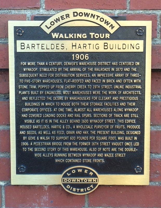
For more than a century, Denver's warehouse district has centered on Wynkoop. Stimulated by the arrival of the railroads in 1870 and the subsequent need for distribution services, an impressive array of three-to-five story warehouses, flat roofed and faced in brick and often with stone trim, popped up from Cherry Creek to 19th Street. Unlike industrial plants built by engineers, most warehouses were the work of architects, and reflected the desire by warehousers for elegant and prestigious buildings in which to house both their storage facilities and their corporate offices. At one time, almost all warehouses along Wynkoop had covered loading docks and rail spurs. Sections of track are still visible as it is in the alley behind 1600 Wynkoop Street. This edifice housed Barteldes, Hartig & Co., a wholesale purveyor of fruits, produce and seeds, as well as feed, grain and hay. The present building, designed by Gove & Walsh to support 600 pounds per square foot, was built in 1906. A pedestrian bridge from the former 16th Street
Click or scan to see this page online
viaduct once led to the second story of this warehouse. Also of note are the double-wide alleys running between Wynkoop and Wazee Street which contained store fronts.
Erected by the Lower Downtown Historic District.
Topics. This historical marker is listed in these topic lists: Architecture • Industry & Commerce. A significant historical year for this entry is 1883.
Location. 39° 45.114′ N, 105° 0.045′ W. Marker is in Denver, Colorado, in Denver County. It is in Central. It is at the intersection of 16th Street and Wynkoop Street, on the right when traveling north on 16th Street. Touch for map. Marker is at or near this postal address: 1600 Wynkoop Street, Denver CO 80202, United States of America. Touch for directions.
Regionally, this marker is in the Front Range. It is also in the American Mountain West. Globally, it is in North America, the Rocky Mountains, the Western Hemisphere, the Western World, and the Anglosphere. Historically, it finds itself in what was once the Louisiana Purchase.
Other nearby markers. At
Photographed by Mark Hilton, July 28, 2016
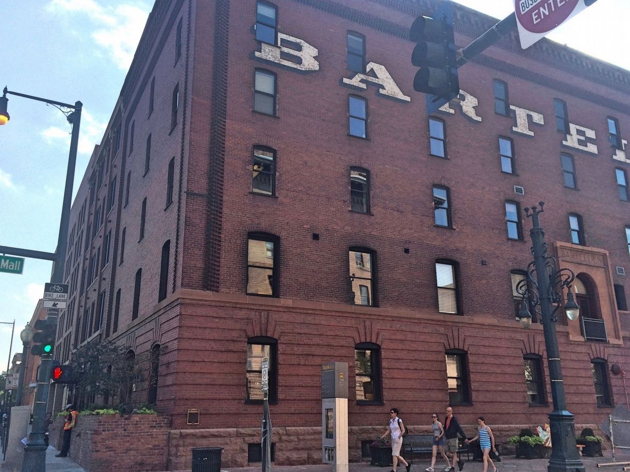
2. Former Barteldes, Hartig Building
On far right, second floor, can be seen the old doorway to the former 16th Street viaduct.
Credits. This page was last revised on January 9, 2025. It was originally submitted on September 2, 2016, by Mark Hilton of Montgomery, Alabama. This page has been viewed 1,859 times since then and 126 times this year. Photos:1, 2. submitted on September 2, 2016, by Mark Hilton of Montgomery, Alabama.