Central in Denver in Denver County, Colorado — The American Mountains (Southwest)
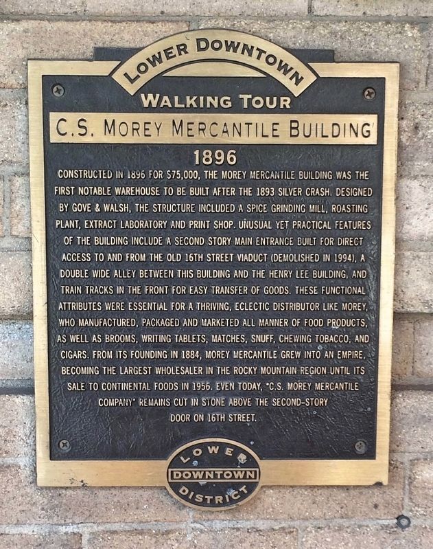
C. S. Morey Mercantile Building
1896
| — | Lower Downtown Walking Tour | — |
Photographed by Mark Hilton, July 28, 2016
1. C. S. Morey Mercantile Building Marker
Erected by the Lower Downtown Historic District.
Topics.
this page online
Location. 39° 45.103′ N, 105° 0.06′ W. Marker is in Denver, Colorado, in Denver County. It is in Central. It is at the intersection of Wynkoop Street and 16th Street Mall, on the right when traveling east on Wynkoop Street. Touch for map. Marker is at or near this postal address: 1628 16th Street, Denver CO 80202, United States of America. Touch for directions.

Regionally, this marker is in the Front Range. It is also in the American Mountain West. Globally, it is in North America, the Rocky Mountains, the Western Hemisphere, the Western World, and the Anglosphere. Historically, it finds itself in what was once the Louisiana Purchase.
Other nearby markers. At least 8 other markers are within walking distance of this marker: Barteldes, Hartig Building (within shouting distance of this marker); Local Transit Through the Ages (within shouting distance of this marker); Henry Lee Building (about 300 feet away, measured in a direct line); Sugar Building (about 400 feet away); Spratlen-Anderson Building
Photographed by Mark Hilton, July 28, 2016
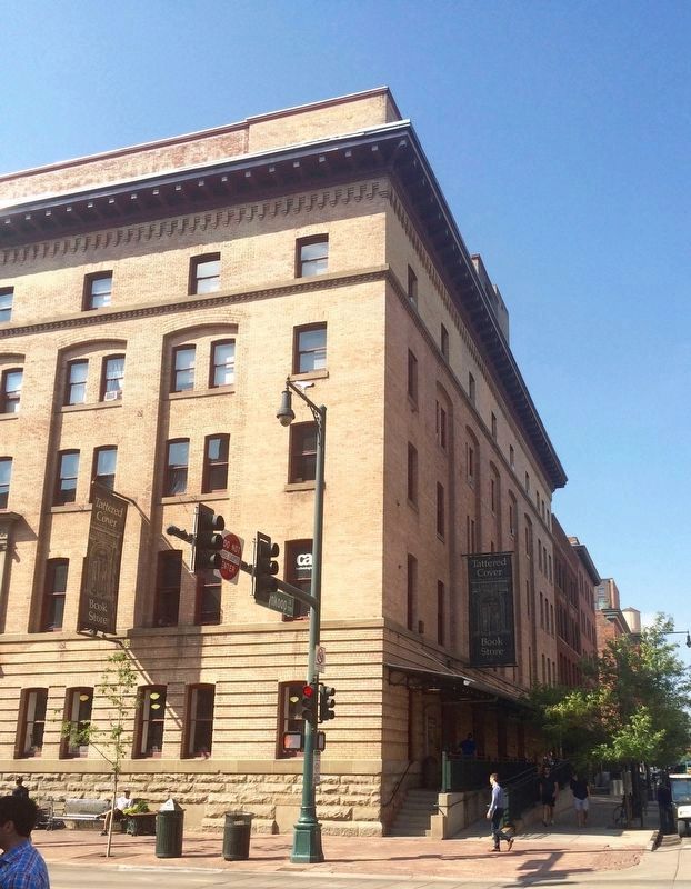
2. Former C. S. Morey Mercantile Building
Marker is on wall just up the stairs at building corner. The building's first floor is the second retail location for the Tattered Cover Book Store.
Credits. This page was last revised on January 9, 2025. It was originally submitted on September 2, 2016, by Mark Hilton of Montgomery, Alabama. This page has been viewed 2,940 times since then and 248 times this year. Photos: 1, 2. submitted on September 2, 2016, by Mark Hilton of Montgomery, Alabama.
