Gainesville in Cooke County, Texas — The American South (West South Central)
Santa Fe Passenger Depot
Photographed by Mark Hilton, July 21, 2016
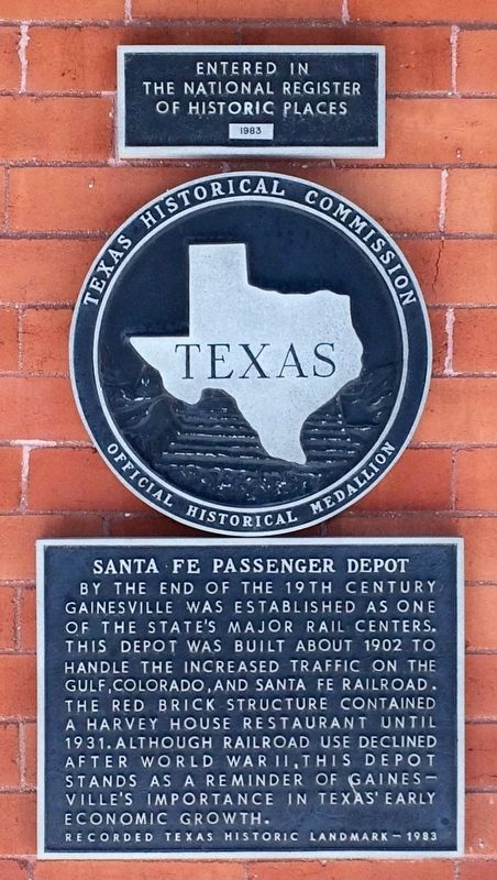
1. Santa Fe Passenger Depot Marker
Smaller plaque notes building entered into the National Register of Historic Places in 1983.
Recorded Texas Historic Landmark
Erected 1983 by Texas Historical Commission. (Marker Number 4580.)
Topics and series. This historical marker is listed in these topic lists: Notable Buildings • Railroads & Streetcars. In addition, it is included in the Atchison, Topeka and Santa Fe Railway series list. A significant historical year for this entry is 1902.
Location. 33° 37.501′ N, 97° 8.447′ W. Marker is in Gainesville, Texas, in Cooke County. It is at the intersection of Depot Lane and East Elm Street, on the right when traveling north on Depot Lane. Touch for map. Marker is at or near this postal address: 605 East California Street, Gainesville TX 76240, United States of America. Touch for directions.

Regionally, this marker is in the Prairies & Lakes Region. It is also in the American South. Globally, it is in North America, a Gulf of Mexico state, the Western Hemisphere, the Western World, and the Anglosphere. Historically, it finds itself in what was once New Spain, the Republic of Texas, one of the Confederate States of America, and the Antebellum South.
Other nearby markers. At least 8 other markers are within walking distance of this marker: Gainesville-Fort Sill Road (within shouting distance of this marker); Saint Paul's Church (about 400 feet away, measured in a direct line); Cooke County Free Library (approx. 0.2 miles away); The Great Hanging at Gainesville, 1862
this page online
Also see . . . Station History. (Submitted on September 8, 2016, by Mark Hilton of Montgomery, Alabama.)
Photographed by Mark Hilton, July 21, 2016
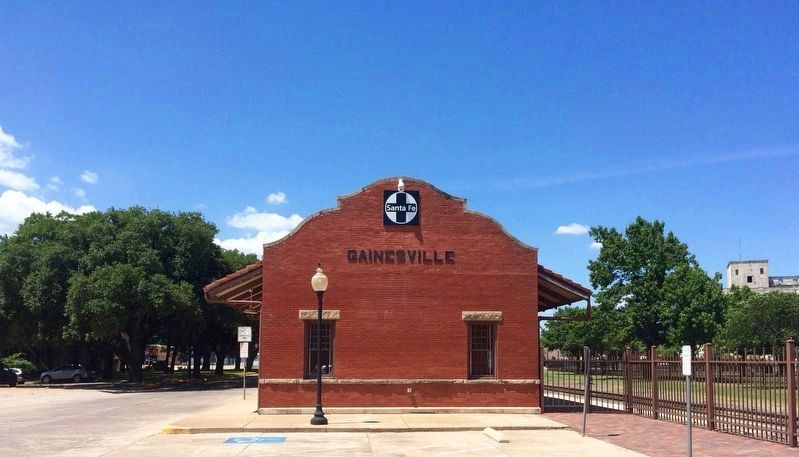
2. Santa Fe Passenger Depot
Now the Museum At Santa Fe Depot and an AMTRAK station.
Photographed by Mark Hilton, July 21, 2016
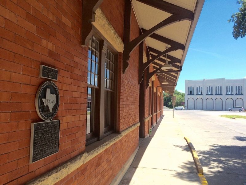
3. View of marker on west side of depot.

Photographed by Gary Estep, January 9, 2026
4. Santa Fe Passenger Depot Marker
Restored marker
Credits. This page was last revised on January 13, 2026. It was originally submitted on September 8, 2016, by Mark Hilton of Montgomery, Alabama. This page has been viewed 789 times since then and 64 times this year. Photos: 1, 2, 3. submitted on September 8, 2016, by Mark Hilton of Montgomery, Alabama. 4. submitted on January 9, 2026, by Gary Estep of Anna, Texas.
