Mingus in Palo Pinto County, Texas — The American South (West South Central)
Thurber Junction and the T&P Railroad Presence
Inscription.
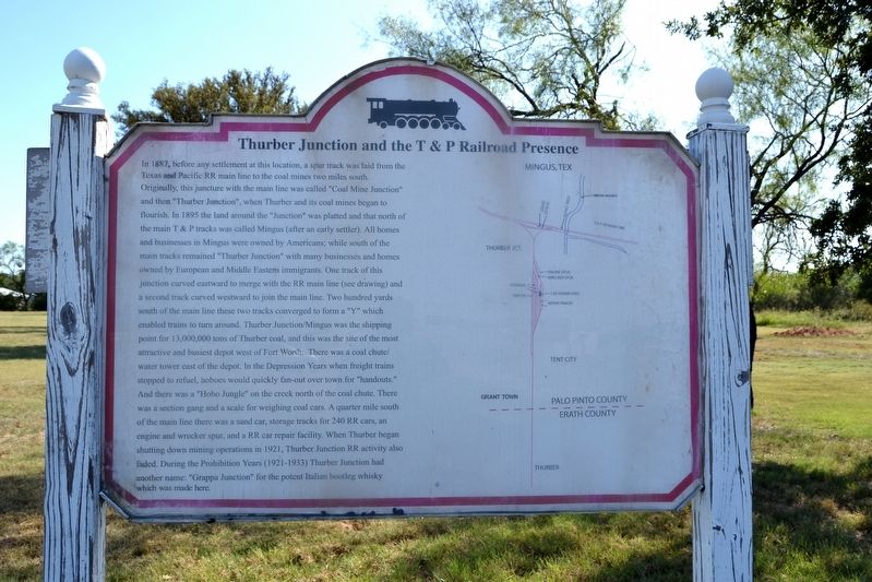
In 1887, before any settlement at this location, a spur track was laid from the Texas and Pacific RR main line to the coal mines two miles south. Originally, this juncture with the main line was called “Coal Mine Junction” and then “Thurber Junction”, when Thurber and its coal mines began to flourish. In 1895 the land around the “Junction” was platted and that north of the main T&P tracks was called Mingus (after an early settler). All homes and businesses in Mingus were owned by Americans; while south of the main tracks remained “Thurber Junction” with many businesses and homes owned by European and Middle Eastern immigrants. One track of this junction curved eastward to merge with the RR main line (see drawing) and a second track curved westward to join the main line. Two hundred yards south of the main line these two tracks converged to form a “Y” which enabled trains to turn around. Thurber Junction / Mingus was the shipping point for 13,000,000 tons of Thurber coal, and this was the site of the most attractive and busiest depot west of Fort Worth. There was a coal chute / water tower east of the depot. In the Depression Years when freight trains stopped to refuel, hoboes would quickly fan-out over town for “handouts.” And there was a “Hobo Jungle”
on the creek north of the coal chute. There was a section gang and a scale for weighing coal cars. A quarter mile south of the main line there was a sand car, storage tracks for 240 RR cars, an engine and wrecker spur, and a RR car repair facility. When Thurber began shutting down mining operations in 1921, Thurber Junction RR activity also faded. During the Prohibition Years (1921-1933) Thurber Junction had another name: “Grappa Junction” for the potent Italian bootleg whisky which was made here.
Topics. This historical marker is listed in these topic lists: Railroads & Streetcars • Settlements & Settlers. A significant historical year for this entry is 1887.
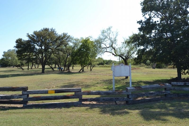
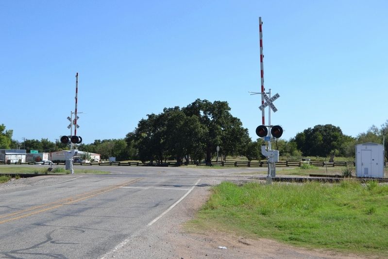
Location. 32° 32.585′ N, 98° 25.361′ W. Marker is in Mingus, Texas, in Palo Pinto County. Marker is at the intersection of Patrick Street (State Highway 108) and Allen Street on Patrick Street. Touch for map. Marker is in this post office area: Mingus TX 76463, United States of America. Touch for directions.
Other nearby markers. At least 8 other markers are within 3 miles of this marker, measured as the crow flies. Mingus Baptist Church (approx. ¼ mile away); Joseph Peter Davidson (approx. 1.7 miles away); Thurber Cemetery (approx. 2.2 miles away); Site of Hotel Knox and Thurber Mining Office (approx. 2½ miles away); Evolution of an Oil Company (approx. 2½ miles away); Thurber (approx. 2½ miles away); New York Hill (approx. 2.7 miles away); Site of Thurber's First Coal Mine (approx. 2.7 miles away). Touch for a list and map of all markers in Mingus.
More about this marker. The marker includes a map showing the railroad facilities in Mingus and Thurber Junction.
Credits. This page was last revised on September 14, 2016. It was originally submitted on September 14, 2016, by Duane Hall of Abilene, Texas. This page has been viewed 545 times since then and 22 times this year. Photos: 1, 2, 3. submitted on September 14, 2016, by Duane Hall of Abilene, Texas.


