Near Kaycee in Johnson County, Wyoming — The American West (Mountains)
Taming the Powder River: The First Bridge
Inscription.
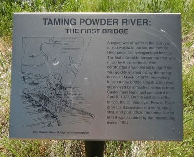
A raging wall of water in the spring and a mud wallow in the fall, the Powder River could halt a wagon train for days. The first attempt to temper the river was made by the post trader who construction a wood toll bridge. This was quickly washed out by the spring floods. In March of 1877, the military began a new bridge. Construction was supervised by a master mechanic from Cantonment Reno and completed on April 6, 1877. On the east side of the bridge, the community of Powder River grew up. It consisted of a store, stage stop, and post office. The bridge lasted until it was stranded by the meandering river in 1884.
Erected by Bureau of Land Management.
Topics. This historical marker is listed in these topic lists: Bridges & Viaducts • Forts and Castles.
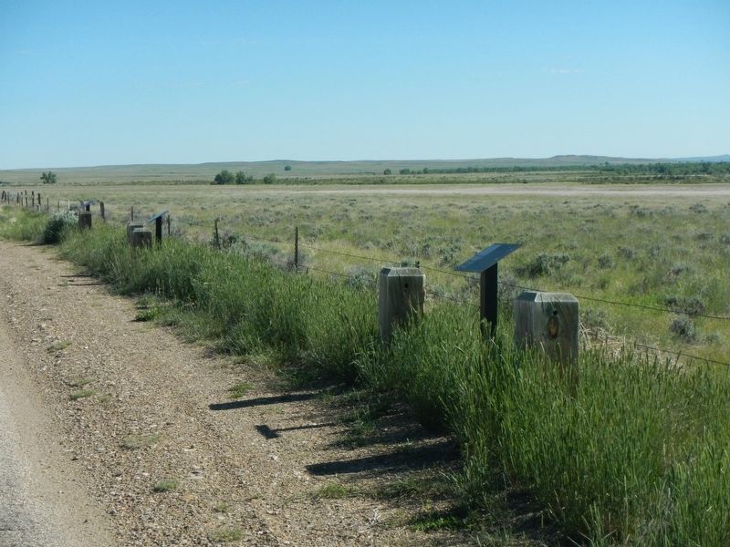
Location. 43° 46.926′ N, 106° 16.086′ W. Marker is near Kaycee, Wyoming, in Johnson County. Marker is on Lower Sussex Road near Sussex Road (County Route 192), on the right when traveling north. Touch for map. Marker is in this post office area: Kaycee WY 82639, United States of America. Touch for directions.
Other nearby markers. At least 2 other markers are within walking distance of this marker. Cantonment Reno Supplied the 1876 Indian Campaign. (a few steps from this marker); “We live like the prairie dogs that surround us…” (a few steps from this marker).
More about this marker. This marker is about 6 miles north of the Sussex Road (County Road 192) intersection, on Lower Sussex Road.
Credits. This page was last revised on September 19, 2016. It was originally submitted on September 19, 2016, by Barry Swackhamer of Brentwood, California. This page has been viewed 252 times since then and 16 times this year. Photos: 1, 2. submitted on September 19, 2016, by Barry Swackhamer of Brentwood, California.
Editor’s want-list for this marker. Cantonment (Fort) Reno makers located about 3 to 6 miles north of this one. • Can you help?

