Marker Logo
THE HISTORICAL
MARKER DATABASE
“Bite-Size Bits of Local, National, and Global History”
Near Aladdin in Crook County, Wyoming — The American West (Mountains)
 

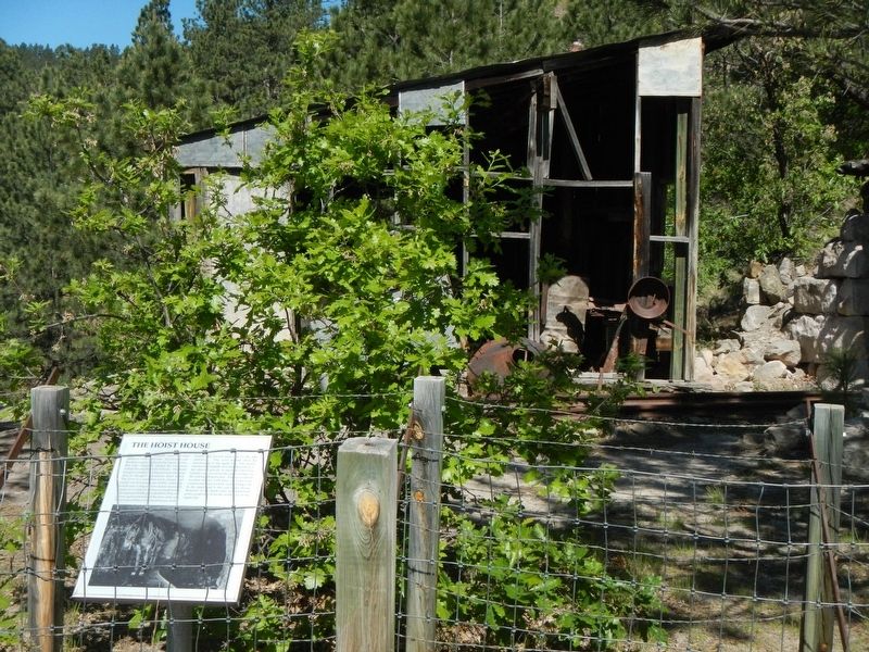
The Hoist House
 
 
The Hoist House Marker image. Click for full size.
Photographed by Barry Swackhamer, June 6, 2016
1. The Hoist House Marker
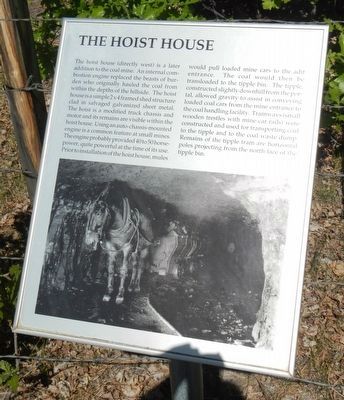
Inscription. The hoist house (directly west) is a later addition to the coal mine. An internal combustion engine replaced the beasts of burden who originally hauled the coal from within the depths of the hillside. The hoist house is a simple 2 x 4 framed shed structure clad in salvaged galvanized sheet metal. The hoist is a modified truck chassis and motor and its remains are visible within the hoist house. Using an auto-chassis-mounted engine is a common feature at small mines. The engine probably provided 40 to 50 horsepower, quite powerful at the time of its use. Prior to installation of the hoist house, mules would pull loaded mine cars to the adit entrance. The coal would then be transloaded to the tipple bin. The tipple constructed slightly downhill from the portal, allowed gravity to assist in conveying loaded coal cars from the mine entrance to the coal handling facility. Tramways (small wooden trestles with mine car rails) were constructed and used for transporting coal to the tipple and to the coal waste dump. Remains of the tipple tram are horizontal poles projecting from the north face of the tipple bin.
 
Erected by Aladdin
Paid Advertisement
Click or scan to see
this page online
Historical Society.
 
Topics. This historical marker is listed in this topic list: Industry & Commerce.
 
Location. 44° 38.34′ N, 104° 9.732′ W. Marker is near Aladdin, Wyoming, in Crook County. It can be reached from State Highway 24 near Owl Creek Road, on the left when traveling east. Touch for map. Marker is in this post office area: Aladdin WY 82710, United States of America. Touch for directions.

Regionally, this marker is in Wyoming’s Powder River Basin. It is also in the American Mountain West, in the Black Hills, on the Great Plains, on the Northern Plains, and specifically on the High Plains. Globally, it is in North America, the Western Hemisphere, the Western World, and the Anglosphere. Historically, it finds itself in what was once the Louisiana Purchase.

Other nearby markers. At least 8 other markers are within 8 miles of this marker, measured as the crow flies: Adit Entrance (here, next to this marker); Bioremediation (here, next to this marker); Aladdin Tipple History (within shouting distance of this marker); Tipple Stabilization (within shouting
The Hoist House and Marker image. Click for full size.
Photographed by Barry Swackhamer, June 6, 2016
2. The Hoist House and Marker
distance of this marker); Tipple Operation (within shouting distance of this marker); Coal Production (within shouting distance of this marker); Later Years of Operation (within shouting distance of this marker); Vore Buffalo Jump (approx. 7.1 miles away). Touch for a list and map of all markers in Aladdin.
 
More about this marker. Aladdin Tipple Historical Interpretive Park is approximately 1/2 mile east of Aladdin.
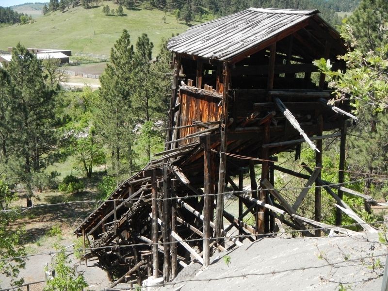
 
The Aladdin Tipple image. Click for full size.
Photographed by Barry Swackhamer, June 6, 2016
3. The Aladdin Tipple
 
 
Credits. This page was last revised on September 23, 2016. It was originally submitted on September 23, 2016, by Barry Swackhamer of Brentwood, California. This page has been viewed 809 times since then and 30 times this year. Photos:   1, 2, 3. submitted on September 23, 2016, by Barry Swackhamer of Brentwood, California.

m=98091

CeraNet Cloud Computing sponsors the Historical Marker Database.
This website earns income from purchases you make after using our links to Amazon.com. We appreciate your support.
Paid Advertisement
Aug. 19, 2026