Near Beulah in Crook County, Wyoming — The American West (Mountains)
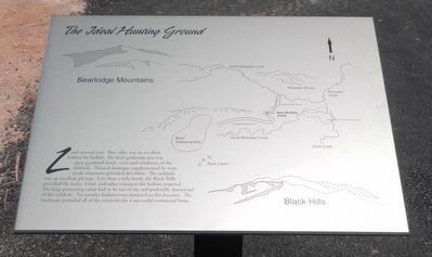
The Ideal Hunting Ground
Diagram of the Vore Buffalo Jump area. Click on the marker image to enlarge it.
Erected by Vore Buffalo Jump Foundation.
Topics. This historical marker is listed in this topic list: Native Americans.
Location. 44° 32.16′ N, 104° 9.42′ W. Marker is near Beulah, Wyoming, in Crook County. Marker can be reached from Old U.S. 14 near Wyoming Highway 111, on the right when traveling east. Touch for map. Marker is in this post office area: Beulah WY 82712, United States of America. Touch for directions.
Other nearby markers. At least 8 other markers are within 3 miles of this marker, measured as the crow flies. Preparing for Impending Blizzards (a few steps from this marker); Understanding Bison Behavior Brought Success (a few steps from this marker); Vore Buffalo Jump (within shouting distance of this marker); Discovering the Vore Archaeological Site (within shouting distance of this marker); Trapping Buffalo (within shouting distance of this marker); A Community Processing Plant (within shouting distance of this marker); The Custer Trail (approx. 2˝ miles away); Rich Colors, Rich Lands (approx. 2˝ miles away). Touch for a list and map of all markers in Beulah.
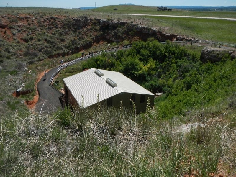
More about this marker. The Vore Buffalo Jump site is located on Old U.S. 14 about 2 1/2 miles east of the Wyoming Welcome Center. The marker is found along the path leading down to the excavation site.
Also see . . . More Buffalo Jump - WyoHistory. The site was discovered just west of the Wyoming-South Dakota border about halfway between Sundance, Wyo. and Spearfish, S. Dak, during construction of I-90 in the early 1970s. In 1989, the family of Woodrow and Doris Vore donated the site to the University of Wyoming, and today, the sinkhole is known as the Vore Buffalo Jump. (Submitted on September 23, 2016, by Barry Swackhamer of Brentwood, California.)
Credits. This page was last revised on September 24, 2016. It was originally submitted on September 23, 2016, by Barry Swackhamer of Brentwood, California. This page has been viewed 327 times since then and 13 times this year. Photos: 1, 2. submitted on September 23, 2016, by Barry Swackhamer of Brentwood, California.
Editor’s want-list for this marker. Additional markers are to be found on the path leading down to the excavation site. • Can you help?

