Leesylvania in Prince William County, Virginia — The American South (Mid-Atlantic)
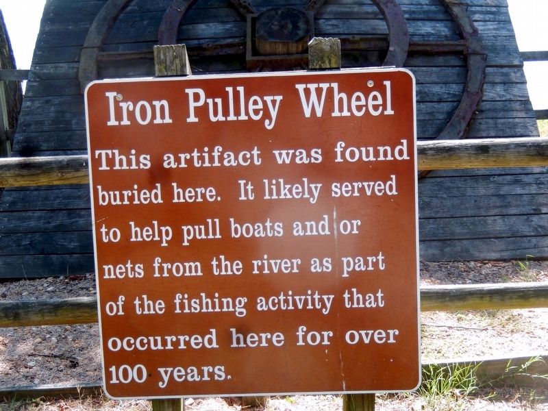
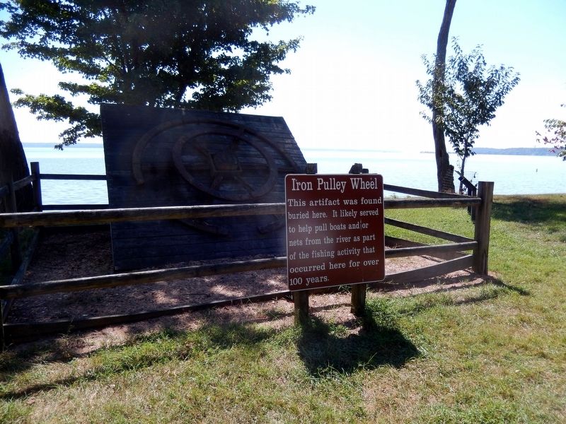
Iron Pulley Wheel
Topics. This historical marker is listed in these topic lists: Industry & Commerce • Waterways & Vessels.
Location. 38° 35.384′ N, 77° 14.949′ W. Marker is in Leesylvania, Virginia, in Prince William County. Marker can be reached from Daniel K Ludwig Drive, 2.3 miles south of Neabsco Road, on the right when traveling east. The marker is located in Leesylvania State Park. Touch for map. Marker is at or near this postal address: 2201 Daniel K Ludwig Drive, Woodbridge VA 22191, United States of America. Touch for directions.
Other nearby markers. At least 8 other markers are within walking distance of this marker. The Freestone Fisheries (here, next to this marker); Swimming in Bounty (within shouting distance of this marker); “Pleasureland of the East” (within shouting distance of this marker); "Light Horse Harry" Lee (about 500 feet away, measured in a direct line); "A Pacific Paradise on the Potomac" (about 600 feet away); Freestone Point Earthworks (about 600 feet away); Lee’s Woods Historic Trail (about 600 feet away); The Freestone Point Hunt Club (about 800 feet away). Touch for a list and map of all markers in Leesylvania.
Also see . . . Leesylvania State Park. (Submitted on December 2, 2023.)
Credits. This page was last revised on December 2, 2023. It was originally submitted on September 24, 2016, by Don Morfe of Baltimore, Maryland. This page has been viewed 280 times since then and 19 times this year. Last updated on October 3, 2023, by N. Jozsa of Woodbridge, Virginia. Photos: 1, 2, 3. submitted on September 24, 2016, by Don Morfe of Baltimore, Maryland. • Bernard Fisher was the editor who published this page.


