Sundance in Crook County, Wyoming — The American West (Mountains)
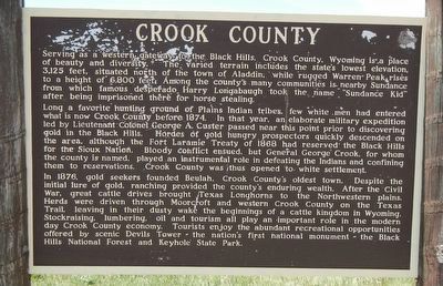
Crook County
Long a favorite hunting ground of Plains Indian tribes, few white men had entered what is now Crook County before 1874. In that year, an elaborate military expedition led by Lieutenant Colonel George A. Custer passed near this point prior to discovering gold in the Black Hills. Hoards of gold hungry prospectors quickly descended on the area, although the Fort Laramie Treaty of 1868 had reserved the Black Hills for the Sioux Nation. Bloody conflict ensued, but General George Crook, for whom the county is named, played an instrumental role in defeating the Indians and confining them to reservations. Crook County was thus opened to white settlement.
In 1876, gold seekers founded Beulah, Crook County's oldest town. Despite the initial lure of gold, ranching provided the county's enduring wealth. After the Civil War, great cattle drives brought Texas Longhorns to the Northwestern plains. Herds were driven through Moorcroft and western Crook County on the Texas Trail, leaving in their dusty wake the beginnings of a cattle kingdom in Wyoming. Stockraising, lumbering, oil and tourism all play an important role in the modern day Crook County economy. Tourists enjoy the abundant recreational opportunities offered by scenic Devils Tower -- the nation's first national monument -- the Black Hills National Forest and Keyhole State Park.
Erected by Wyoming State Historic Preservation Office.
Topics. This historical marker is listed in these topic lists: Notable Events • Political Subdivisions.
Location. 44° 24.786′ N, 104° 20.364′ W. Marker is in Sundance, Wyoming, in Crook County. Marker is on Industrial Avenue near Interstate 90. Touch for map. Marker is in this post office area: Sundance WY 82729, United States of America. Touch for directions.
Other nearby markers. At least 8 other markers are within 11 miles of this marker, measured as the crow flies. Custer Expedition (a few steps from this marker); Black Hills (a few steps from this marker); Sundance Nature Area (approx. 1˝ miles away); The "Sundance Kid" (approx. 2 miles away); Watching the Heavens and Earth (approx. 6.7 miles away); Inyan Kara Methodist Episcopal Church (approx. 9.9 miles away); Matthew S. Driskill (approx. 10.3 miles away); The Custer Trail (approx. 10.3 miles away). Touch for a list and map of all markers in Sundance.
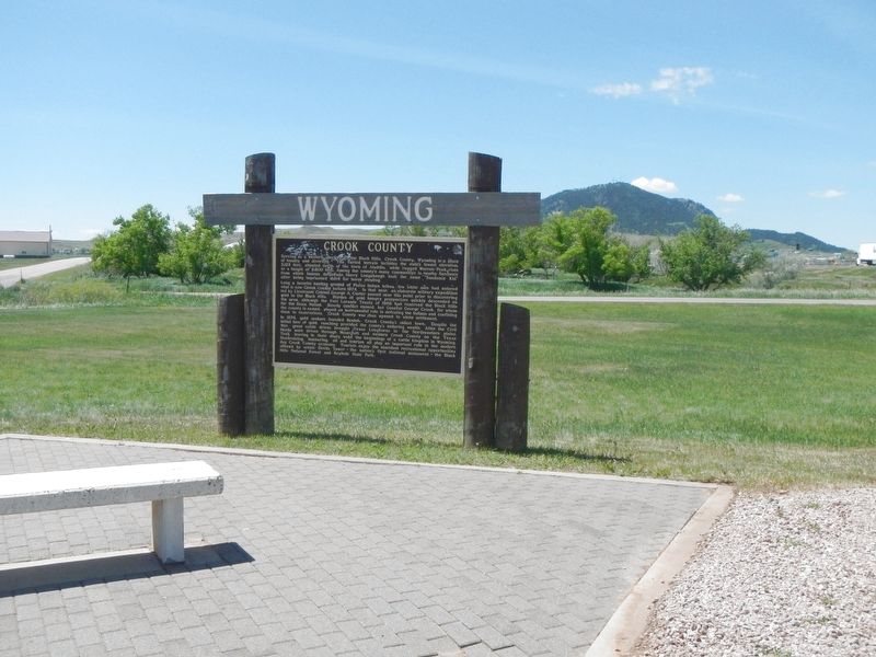
More about this marker. This marker is located at the Sundance Rest Area, exit 190 on Interstate 90.
Credits. This page was last revised on September 24, 2016. It was originally submitted on September 24, 2016, by Barry Swackhamer of Brentwood, California. This page has been viewed 402 times since then and 19 times this year. Photos: 1, 2. submitted on September 24, 2016, by Barry Swackhamer of Brentwood, California.

