
Corbin in Whitley County, Kentucky — The American South (East South Central)
Cumberland Falls MoonBow
Photographed by Christopher Light, June 22, 2008
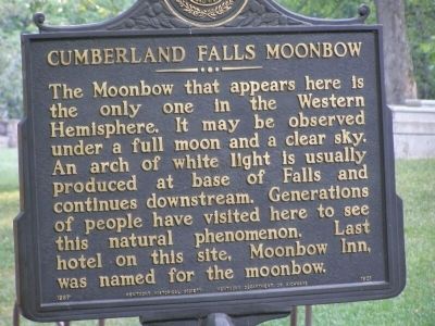
1. Cumberland Falls MoonBow Marker
The Moonbow that appears here is the only one in the Western Hemisphere. It may be observed under a full moon and a clear sky. An arch of white light is usually produced at base of Falls and continues downstream. Generations of people have visited here to see this natural phenomenon. Last hotel on this site, Moonbow Inn, was named for the moonbow.
Erected 1987. (Marker Number 1801.)
Topics and series. This historical marker is listed in this topic list: Natural Resources. In addition, it is included in the Kentucky Historical Society series list.
Location. 36° 50.296′ N, 84° 20.634′ W. Marker is in Corbin, Kentucky, in Whitley County. It is on Kentucky Route 90, on the right when traveling west. Located north of the Cumberland Falls parking lot, just pass the gift shop and the nature center. Touch for map. Marker is in this post office area: Corbin KY 40701, United States of America. Touch for directions.

Regionally, this marker is in Eastern Kentucky and in the Cumberland Plateau. It is also in the American South, specifically in the Upper South, in Appalachia, and specifically in Southern Appalachia. Globally, it is in North America, the Western Hemisphere, the Western World, and the Anglosphere. Historically, it finds itself in what was once the territory of the Mississippian
this page online
Other nearby markers. At least 8 other markers are within 12 miles of this marker, measured as the crow flies: Cumberland Falls… (about 300 feet away, measured in a direct line); Niagara of the South (about 700 feet away); Big Bend Loop (about 800 feet away); CCC at Cumberland Falls / Civilian Conservation Corps (approx. ¼ mile away); Kiwanis Trail (approx. ¼ mile away); McCreary County, 1912 (approx. 10.4 miles away); First Kentucky Oil Well / Martin Beaty (Beatty) (approx. 10½ miles away); Bon Jellico (approx. 11.6 miles away).
Another marker is no longer nearby. 4-H Craft Center (was approx. 3 miles away but has been confirmed missing).
Also see . . . Cumberland Falls Moonbow. Explore Kentucky website entry (Submitted on March 29, 2022, by Larry Gertner of New York, New York.)
Photographed by Michael Frazier, March 19, 2013
2. Up-date Photo - - Cumberland Falls MoonBow Marker
Photographed by Tom Bosse, July 4, 2018
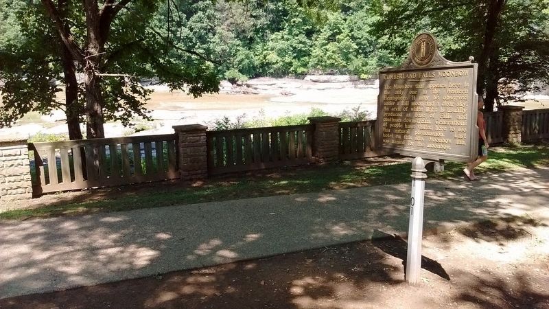
3. Cumberland Falls MoonBow Marker
Photographed by Christopher Light, June 22, 2008
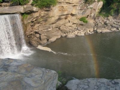
4. Cumberland Falls RainBow
The Moonbow is said to occur at night, similar to this rainbow in location.
Photographed by Tom Bosse, July 4, 2018
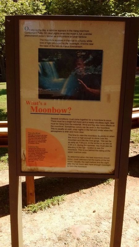
5. What is a moonbow?
Credits. This page was last revised on March 29, 2022. It was originally submitted on August 2, 2008, by Christopher Light of Valparaiso, Indiana. This page has been viewed 5,289 times since then and 37 times this year. Photos: 1. submitted on August 2, 2008, by Christopher Light of Valparaiso, Indiana. 2. submitted on December 20, 2013, by Michael Frazier of Fort Myers, Florida. 3. submitted on July 10, 2018, by Tom Bosse of Jefferson City, Tennessee. 4. submitted on August 2, 2008, by Christopher Light of Valparaiso, Indiana. 5. submitted on July 10, 2018, by Tom Bosse of Jefferson City, Tennessee. • Craig Swain was the editor who published this page.
