Frankfort in Franklin County, Kentucky — The American South (East South Central)
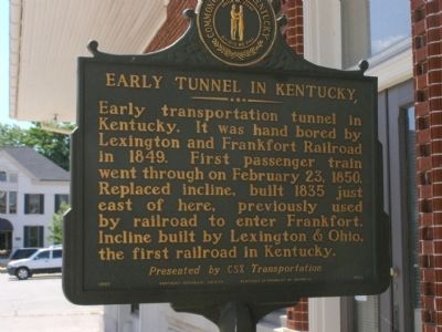
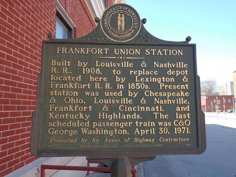
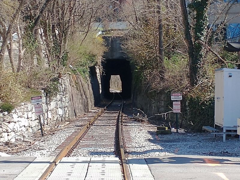
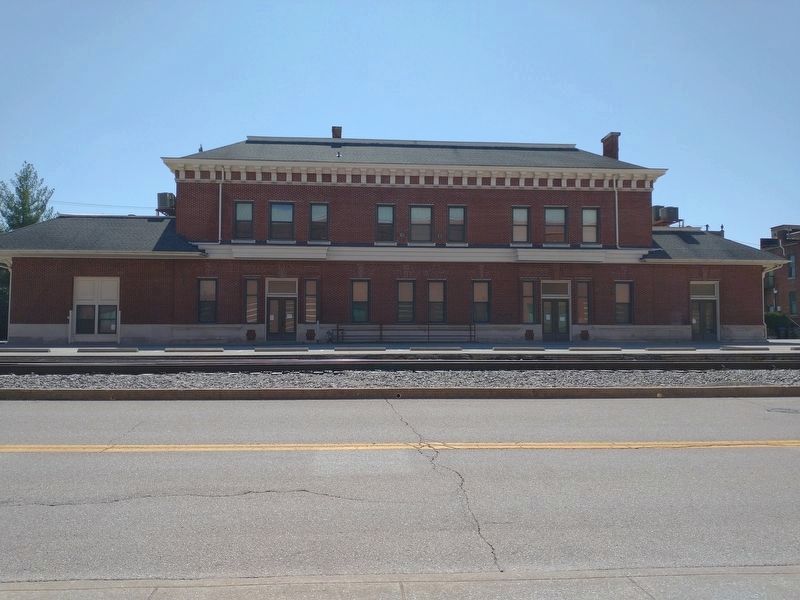
Early Tunnel in Kentucky / Frankfort Union Station
Presented by CSX Transportation
Presented by Ky. Assoc. of Highway Contractors
Erected 1995 by Kentucky Historical Society & Kentucky Department of Highways. (Marker Number 1955.)
Topics and series. This historical marker is listed in this topic list: Railroads & Streetcars. In addition, it is included in the Kentucky Historical Society series list. A significant historical month for this entry is February 1951.
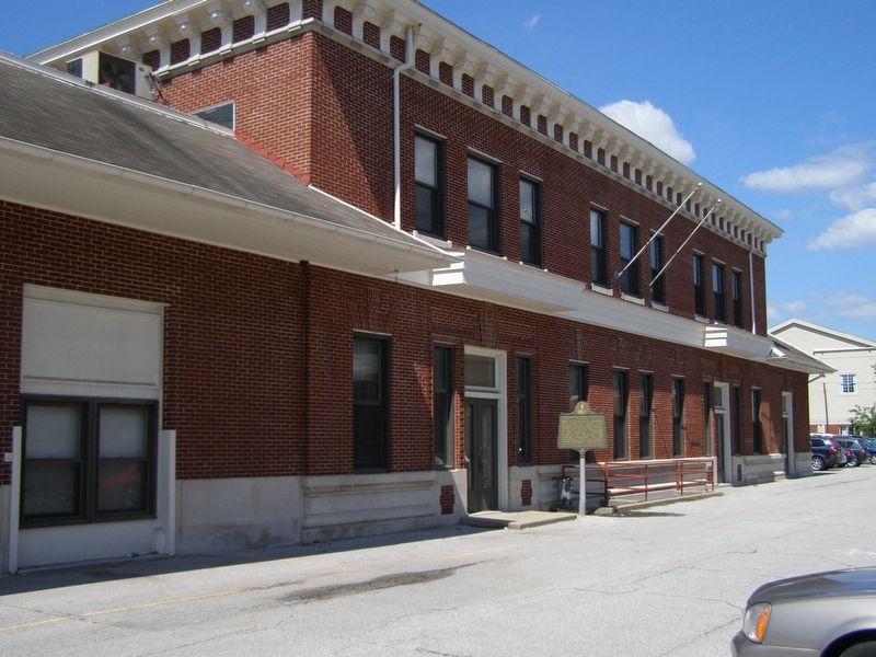
Location. 38° 11.913′ N, 84° 52.494′ W. Marker is in Frankfort , Kentucky, in Franklin County. Marker is at the intersection of Broadway Street and Elk Alley on Broadway Street. Located on north side of the railroad station. Touch for map. Marker is in this post office area: Frankfort KY 40601, United States of America. Touch for directions.
Other nearby markers. At least 8 other markers are within walking distance of this marker. Paul Sawyier Boyhood Home (within shouting distance of this marker); Lewis and Clark in Kentucky / William Clark in Frankfort (about 300 feet away, measured in a direct line); First Christian Church (about 300 feet away); John Hampton House / Early Stone House (about 300 feet away); The Famous Old Weisiger House (about 400 feet away); Hiram Lodge No. 4 F. & A.M. (about 400 feet away); Surveyed July 16, 1773 By Hancock Taylor (about 400 feet away); Capital Bridge (about 400 feet away). Touch for a list and map of all markers in Frankfort.
Credits. This page was last revised on March 24, 2022. It was originally submitted on August 2, 2008, by Christopher Light of Valparaiso, Indiana. This page has been viewed 1,788 times since then and 34 times this year. Photos: 1. submitted on August 2, 2008, by Christopher Light of Valparaiso, Indiana. 2. submitted on March 24, 2022, by Craig Doda of Napoleon, Ohio. 3. submitted on August 2, 2008, by Christopher Light of Valparaiso, Indiana. 4, 5. submitted on March 24, 2022, by Craig Doda of Napoleon, Ohio. • Craig Swain was the editor who published this page.
