Bayfield in Bayfield County, Wisconsin — The American Midwest (Great Lakes)
Schooner Pretoria
Historic Shipwreck
| — | Wisconsin’s Maritime Trails | — |
Photographed by Paul Fehrenbach, September 25, 2016
1. Schooner Pretoria Marker
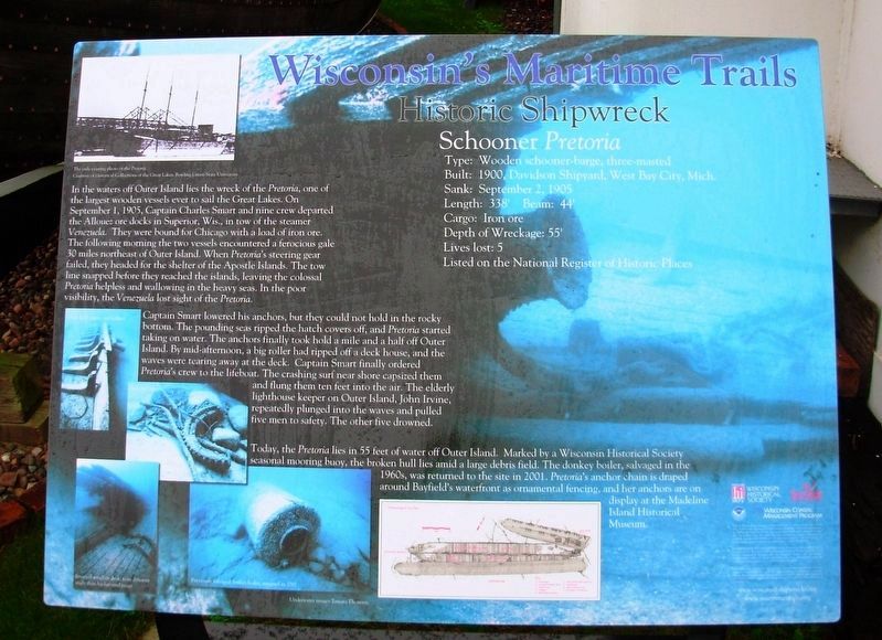
Captain Smart lowered his anchors, but they could not hold in the rocky bottom. The pounding seas ripped the hatch covers, and Pretoria started taking on water. The anchors finally took hold a mile and a half off Outer Island. By mid-afternoon, a big roller had ripped off a deck house, and the waves were tearing away at the deck. Captain Smart finally ordered Pretoria's crew
this page online
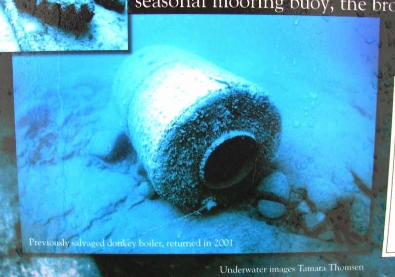
Today, the Pretoria lies in 55 feet of water off Outer Island. Marked by a Wisconsin Historical Society seasonal mooring buoy, the broken hull lies amid a large debris field. The donkey boiler, salvaged in the 1960s, was returned to the site in 2001. Pretoria's anchor chain is draped around Bayfield’s waterfront as ornamental fencing, and her anchors are on display at the Madeline Island Historical Museum.
Type: Wooden schooner-barge, three-masted
Built: 1900, Davidson Shipyard, West Bay City, Mich.
Sank: September 2, 1905
Length: 338’ Beam: 44’
Cargo: Iron ore
Depth of Wreckage: 55’
Lives lost: 5
Erected by Wisconsin Historical Society, University of Wisconsin Sea Grant, Wisconsin Coastal Management Program, NOAA.
Topics and series. This historical marker is listed in these topic lists: Disasters • Industry & Commerce • Waterways & Vessels. In addition, it is
Photographed by Paul Fehrenbach, September 25, 2016
2. Schooner Pretoria Marker
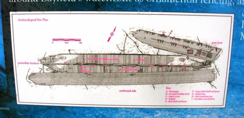
Archaeological Site Plan
Location. 46° 48.516′ N, 90° 48.888′ W. Marker is in Bayfield, Wisconsin, in Bayfield County. It is at the intersection of South 1st Street and Wilson Street, on the right when traveling south on South 1st Street. Marker located in front of Bayfield Maritime Museum. Touch for map. Marker is at or near this postal address: 131 S 1st St, Bayfield WI 54814, United States of America. Touch for directions.

Regionally, this marker is on the North Shore. It is also in the American Midwest, in the Corn Belt, and on Lake Superior’s South Shore Region. Globally, it is in North America, in the Great North Woods, on the Great Lakes, in the Western Hemisphere, in the Western World, and in the Anglosphere. Historically, it finds itself in what was once the territory of the Mississippian Culture and also the Northwest Territory.
Other nearby markers. At least 8 other markers are within 3 miles of this marker, measured as the crow flies: A Turning Point in Place and Time (within shouting
Photographed by Paul Fehrenbach, September 25, 2016
3. Schooner Pretoria Marker
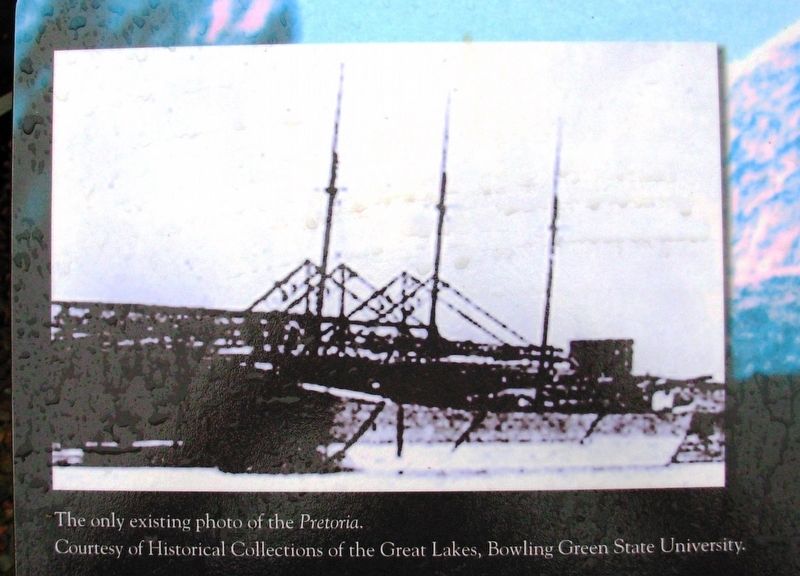
Upper left inset: The only existing photo of the Pretoria. Courtesy of Historical Collections of the Great lakes, Bowling Green State University
Another marker is no longer nearby. Madeline Island (was approx. 2.3 miles away but has been permanently removed).
Additional keywords. Shipwrecks
Photographed by Paul Fehrenbach, September 25, 2016
4. Schooner Pretoria Marker
Previously salvaged donkey boiler, returned in 2001
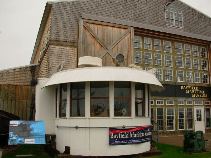
Photographed by Paul Fehrenbach, September 25, 2016
5. Schooner Pretoria Marker
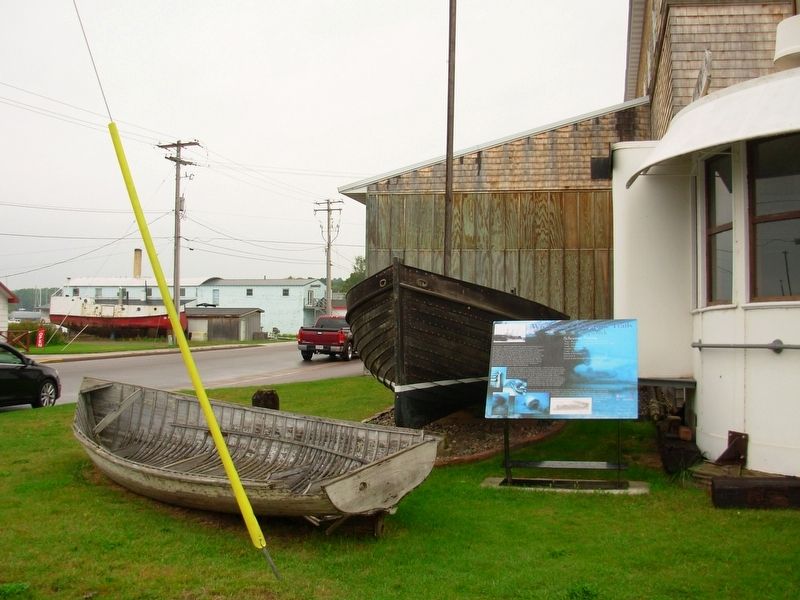
Photographed by Paul Fehrenbach, September 25, 2016
6. Schooner Pretoria Marker
Credits. This page was last revised on September 29, 2016. It was originally submitted on September 27, 2016, by Paul Fehrenbach of Richfield, Wisconsin. This page has been viewed 1,001 times since then and 68 times this year. Photos: 1, 2, 3, 4, 5, 6. submitted on September 27, 2016, by Paul Fehrenbach of Richfield, Wisconsin. • Bill Pfingsten was the editor who published this page.
