Near Bozeman in Gallatin County, Montana — The American West (Mountains)
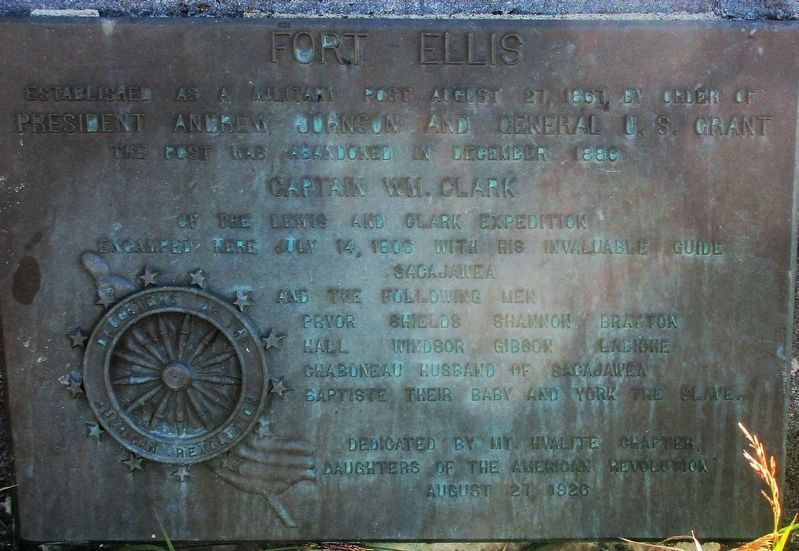
Fort Ellis
Captain Wm. Clark
of the Lewis and Clark Expedition
encamped here July 14, 1806 with his invaluable guild
Sacajawea
and the following men
Pryor Shields Shannon Bratton
Hall Winsor Gibson Labione
Chaboneau husband of Sacajawea
Baptiste their baby and York the slave
dedicated by the Mt. Hyalite Chapter
Daughters of the American Revolution
Erected 1926 by Daughters of the American Revolution.
Topics and series. This historical marker is listed in these topic lists: Exploration • Settlements & Settlers • Wars, US Indian. In addition, it is included in the Daughters of the American Revolution, the Former U.S. Presidents: #17 Andrew Johnson, the Former U.S. Presidents: #18 Ulysses S. Grant, and the Lewis & Clark Expedition series lists. A significant historical date for this entry is July 14, 1806.
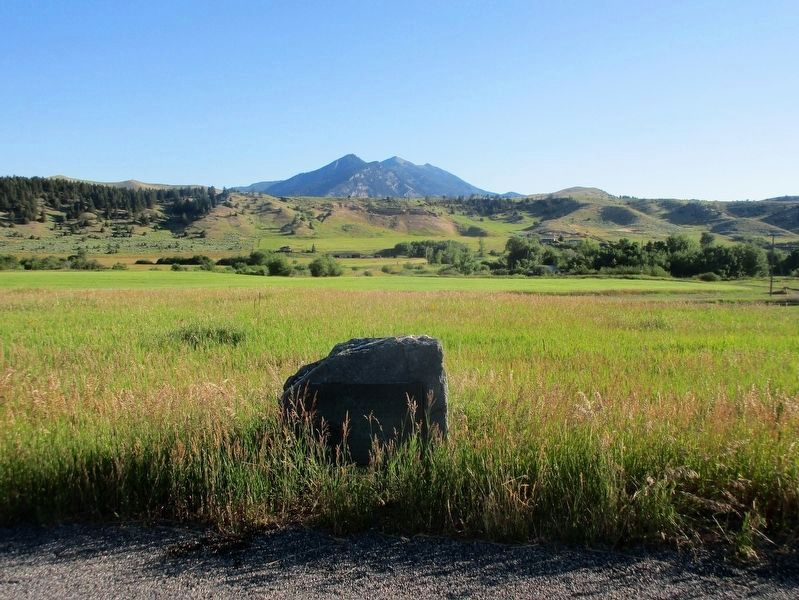
Location. 45° 40.115′ N, 110° 58.524′ W. Marker is near Bozeman, Montana, in Gallatin County. Marker is at the intersection of Old Route 191 and Fort Ellis Road when traveling east on Old Route 191. Marker is on the north side of Frontage Road, just east of Fort Ellis Road. Touch for map. Marker is at or near this postal address: 33179 Frontage Rd, Bozeman MT 59715, United States of America. Touch for directions.
Other nearby markers. At least 8 other markers are within 3 miles of this marker, measured as the crow flies. The Bozeman Trail (here, next to this marker); Lindley Park (approx. 2˝ miles away); Peterson House (approx. 2.7 miles away); Lindsay Fruit Company (approx. 2.7 miles away); Apollo J. Busch House (approx. 2.8 miles away); Misco Grain Elevator (approx. 2.8 miles away); Lindley Place Historic District (approx. 2.8 miles away); Electric Block (approx. 2.9 miles away). Touch for a list and map of all markers in Bozeman.
Additional keywords. Daughters of the American Revolution Lewis & Clark Expedition
Credits. This page was last revised on September 1, 2017. It was originally submitted on September 29, 2016, by Rev. Ronald Irick of West Liberty, Ohio. This page has been viewed 907 times since then and 56 times this year. Photos: 1, 2, 3. submitted on September 29, 2016, by Rev. Ronald Irick of West Liberty, Ohio. • Bill Pfingsten was the editor who published this page.


