North Unity
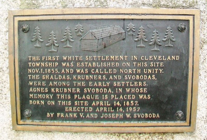
The first white settlement in Cleveland Township was established on this site Nov. 1, 1855, and was called North Unity. The Shaldas, Krubners, and Svobodas, were among the early settlers. Agnes Krubner Svoboda, in whose memory this plaque is placed was born on this site April 14, 1857.
Erected April 14, 1957
Erected 1957 by Frank V. and Joseph W. Svoboda.
Topics. This historical marker is listed in this topic list: Settlements & Settlers. A significant historical date for this entry is April 14, 1857.
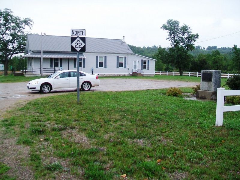
Location. 44° 55.308′ N, 85° 52.348′ W. Marker is near Maple City, Michigan, in Leelanau County. It is at the intersection of Harbor Highway (State Highway 22) and Bohemian Road (County Road 669), on the right when traveling west on Harbor Highway. Touch for map. Marker is at or near this postal address: Cleveland Twp Hall at 955 West Harbor Hwy, Maple City MI 49664, United States of America. Touch for directions.
Regionally, this marker is in Northern Michigan Lower Peninsula, in the Grand Traverse Bay Region, and in one of the Lake Michigan Shore counties. It is also in the American Midwest. Globally, it is in North America,
this page online
Other nearby markers. At least 8 other markers are within 10 miles of this marker, measured as the crow flies: Leelanau County 1958 War Memorial (approx. 5.7 miles away); Old Settlers Park (approx. 5.7 miles away); Early State Parks (approx. 7.4 miles away); Sleeping Bear Point Life Saving Station. (approx. 8 miles away); The Moving Dune (approx. 8.7 miles away); Sand and Ice (approx. 8.8 miles away); Leland Historical District (Fishtown) (approx. 8.9 miles away); Pierce Stocking (approx. 9.3 miles away). Touch for a list and map of all markers in Maple City.
Also see . . . About Cleveland Township. Leelanau County website entry (Submitted on September 29, 2016, by William Fischer, Jr. of Reynoldsburg, Ohio.)
Credits. This page was last revised on March 23, 2025. It was originally submitted on September 29, 2016, by William Fischer, Jr. of Reynoldsburg, Ohio. This page has been viewed 952 times since then and 33 times this year. Photos: 1, 2. submitted on September 29, 2016, by William Fischer, Jr. of Reynoldsburg, Ohio.
