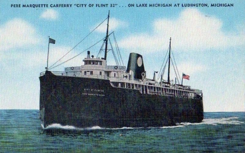
S.S. City of Flint 32
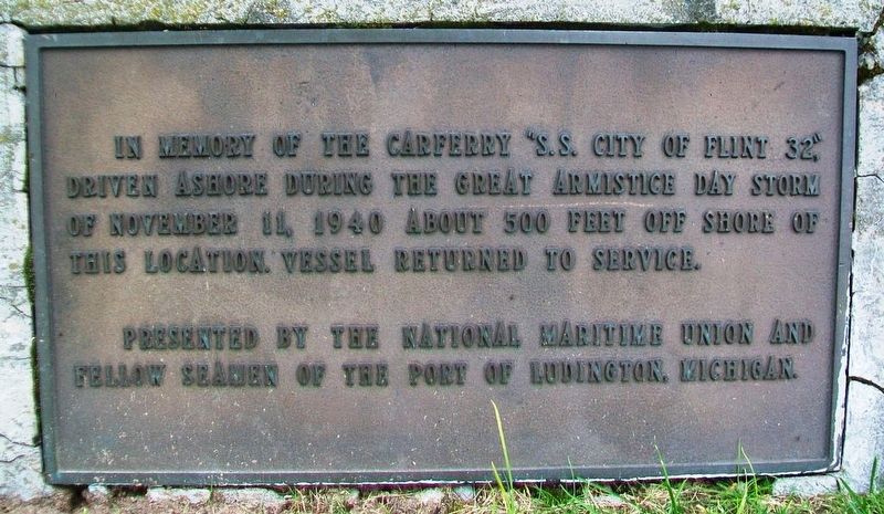
In memory of the carferry "S.S. City of Flint 32," driven ashore during the Great Armistice Day Storm of November 11, 1940 about 500 feet off shore of this location. Vessel returned to service.
Erected by the National Maritime Union and Fellow Seamen of the Port of Ludington, Michigan.
Topics. This historical marker is listed in these topic lists: Disasters • Waterways & Vessels. A significant historical date for this entry is November 11, 1940.
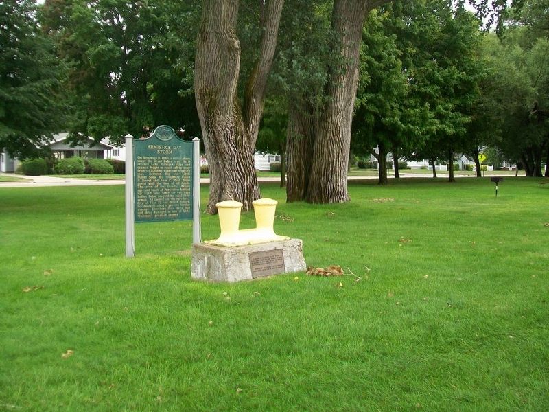
Location. 43° 57.496′ N, 86° 27.582′ W. Marker is in Ludington, Michigan, in Mason County. Marker is at the intersection of Lakeshore Drive (State Highway 116) and Pere Marquette Street, on the left when traveling north on Lakeshore Drive. Touch for map. Marker is at or near this postal address: Stearns Park, Ludington MI 49431, United States of America. Touch for directions.
Other nearby markers. At least 8 other markers are within walking distance of this marker. Armistice Day Storm (here, next to this marker); War Memorial (about 500 feet away, measured in a direct line); S.S. Pere Marquette 18 (about 600 feet away); World War Memorial (approx. 0.2 miles away); World War I Memorial (approx. 0.3 miles away); "The Abbie" (approx. 0.3 miles away); "Sport Fishing" (approx. 0.4 miles away); Mason County / Mason County Courthouse (approx. ¾ mile away). Touch for a list and map of all markers in Ludington.
Also see . . .
1. City of Flint 32. (Submitted on October 2, 2016, by William Fischer, Jr. of Scranton, Pennsylvania.)
2. The Armistice Day Storm: November 11, 1940. (Submitted on October 2, 2016, by William Fischer, Jr. of Scranton, Pennsylvania.)
3. Armistice Day Storm: November 11, 1940. (Submitted on October 2, 2016, by William Fischer, Jr. of Scranton, Pennsylvania.)
4. "The Golden Link" C&O Carferry Promotional Film (1950s). (Submitted on October 2, 2016, by William Fischer, Jr. of Scranton, Pennsylvania.)
Credits. This page was last revised on August 11, 2017. It was originally submitted on October 2, 2016, by William Fischer, Jr. of Scranton, Pennsylvania. This page has been viewed 372 times since then and 28 times this year. Photos: 1, 2. submitted on October 2, 2016, by William Fischer, Jr. of Scranton, Pennsylvania. 3. submitted on August 11, 2017.


