Torrington in Goshen County, Wyoming — The American West (Mountains)
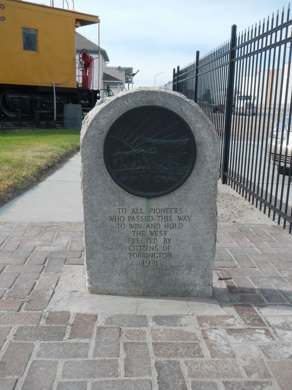
Oregon Trail
who passed this way
to win and hold
the West
Erected 1931 by Citizens of Torrington.
Topics and series. This historical marker is listed in these topic lists: Roads & Vehicles • Settlements & Settlers. In addition, it is included in the Oregon Trail series list.
Location. 42° 2.874′ N, 104° 11.034′ W. Marker is in Torrington, Wyoming, in Goshen County. Marker is on CanAm Highway (Route 85) near East 3rd Avenue, on the left when traveling south. Touch for map. Marker is at or near this postal address: 501 CanAm Highway, Torrington WY 82240, United States of America. Touch for directions.
Other nearby markers. At least 8 other markers are within 8 miles of this marker, measured as the crow flies. Empire, Wyoming: African American Community Building in the West (a few steps from this marker); Ben Trout Homestead Shack (within shouting distance of this marker); a different marker also named Oregon Trail (approx. half a mile away); Cold Springs (approx. half a mile away); CPL. Travis Snow Memorial Building (approx. 1.2 miles away); Replica of the Statue of Liberty (approx. 1.2 miles away); Stuart’s 1812-13 Astorian Party Campsite (approx. 3.9 miles away); a different marker also named The Oregon Trail (approx. 7.3 miles away). Touch for a list and map of all markers in Torrington.
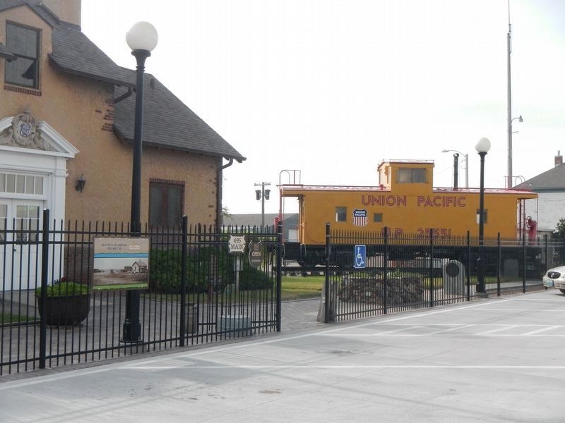
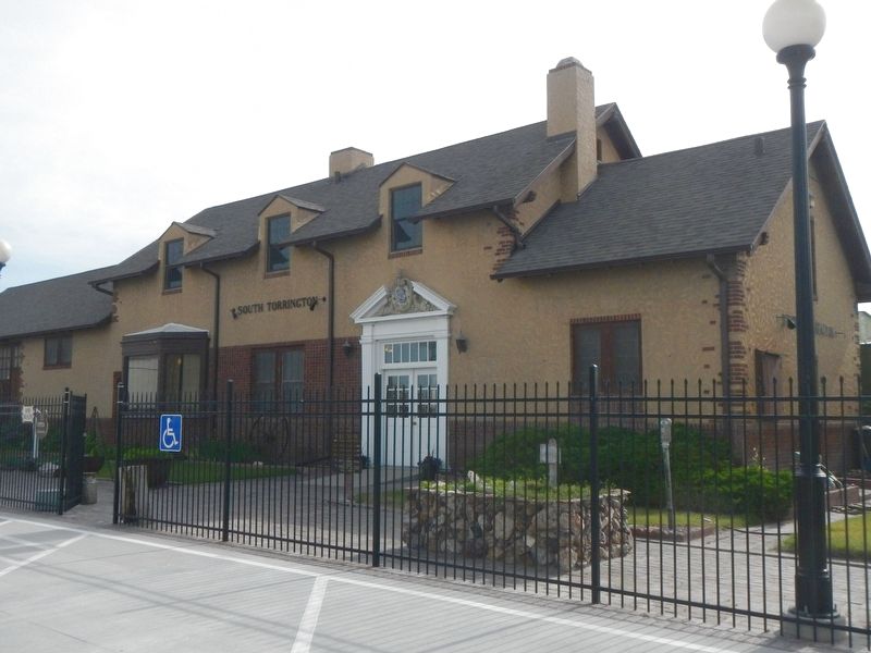
More about this marker. This marker is located next to the South Torrington Railroad Depot.
Credits. This page was last revised on October 3, 2016. It was originally submitted on October 2, 2016, by Barry Swackhamer of Brentwood, California. This page has been viewed 449 times since then and 17 times this year. Photos: 1, 2, 3. submitted on October 2, 2016, by Barry Swackhamer of Brentwood, California.


